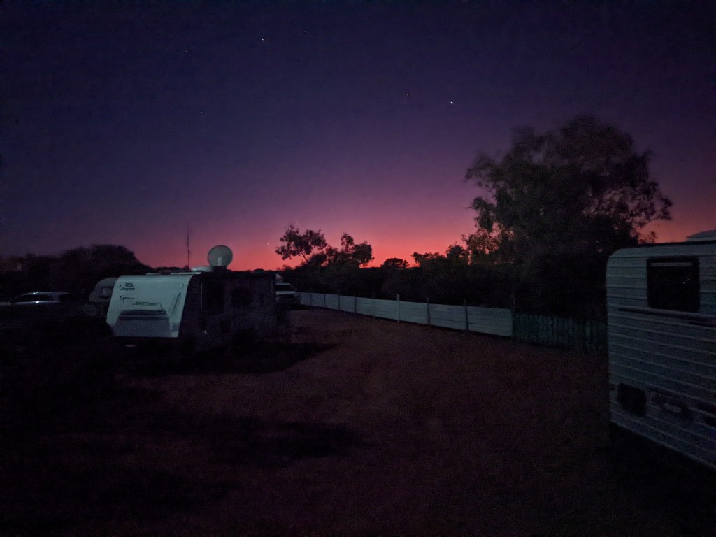
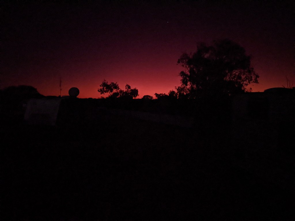
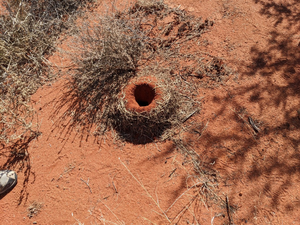
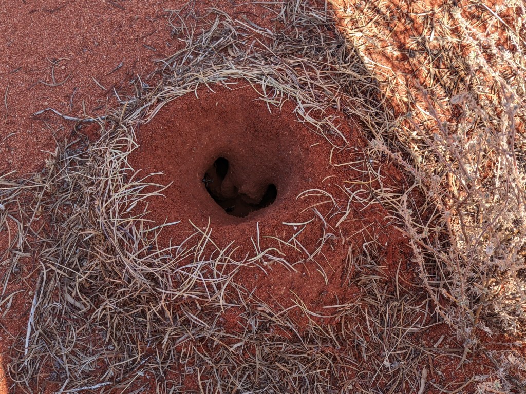
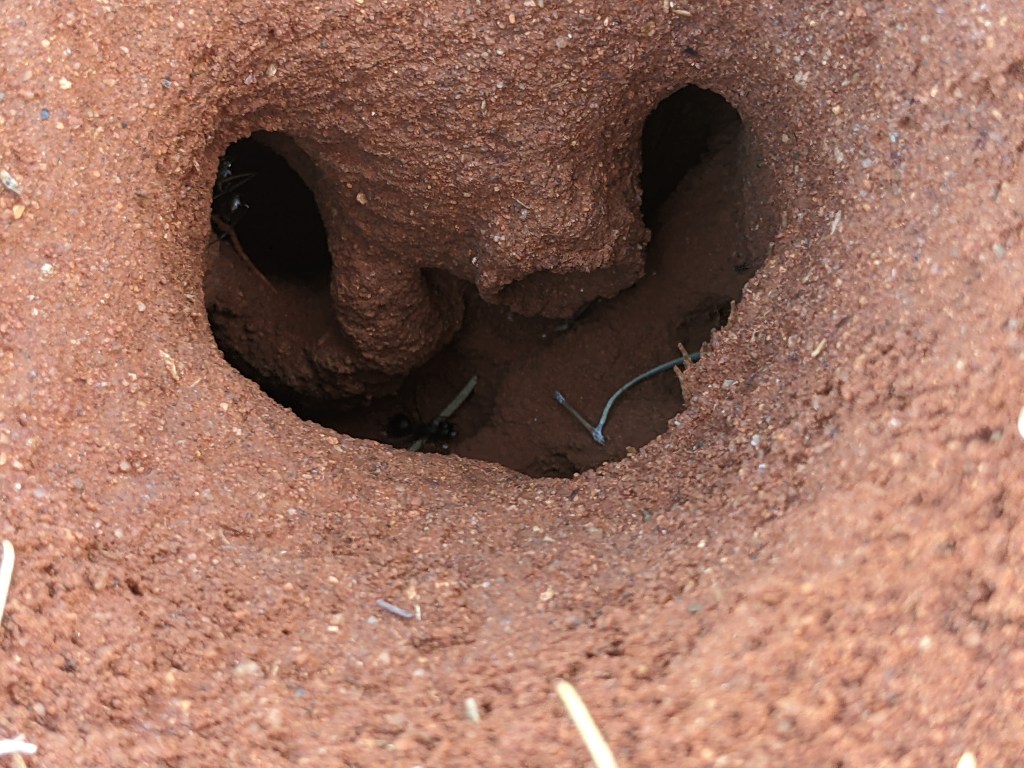
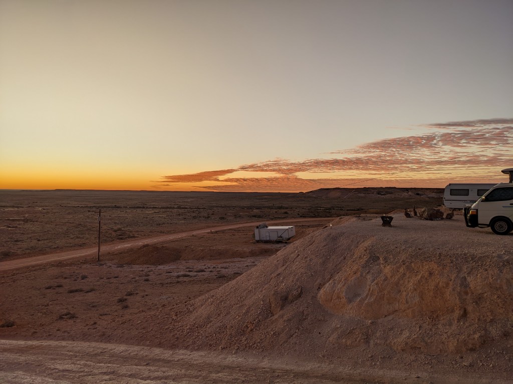
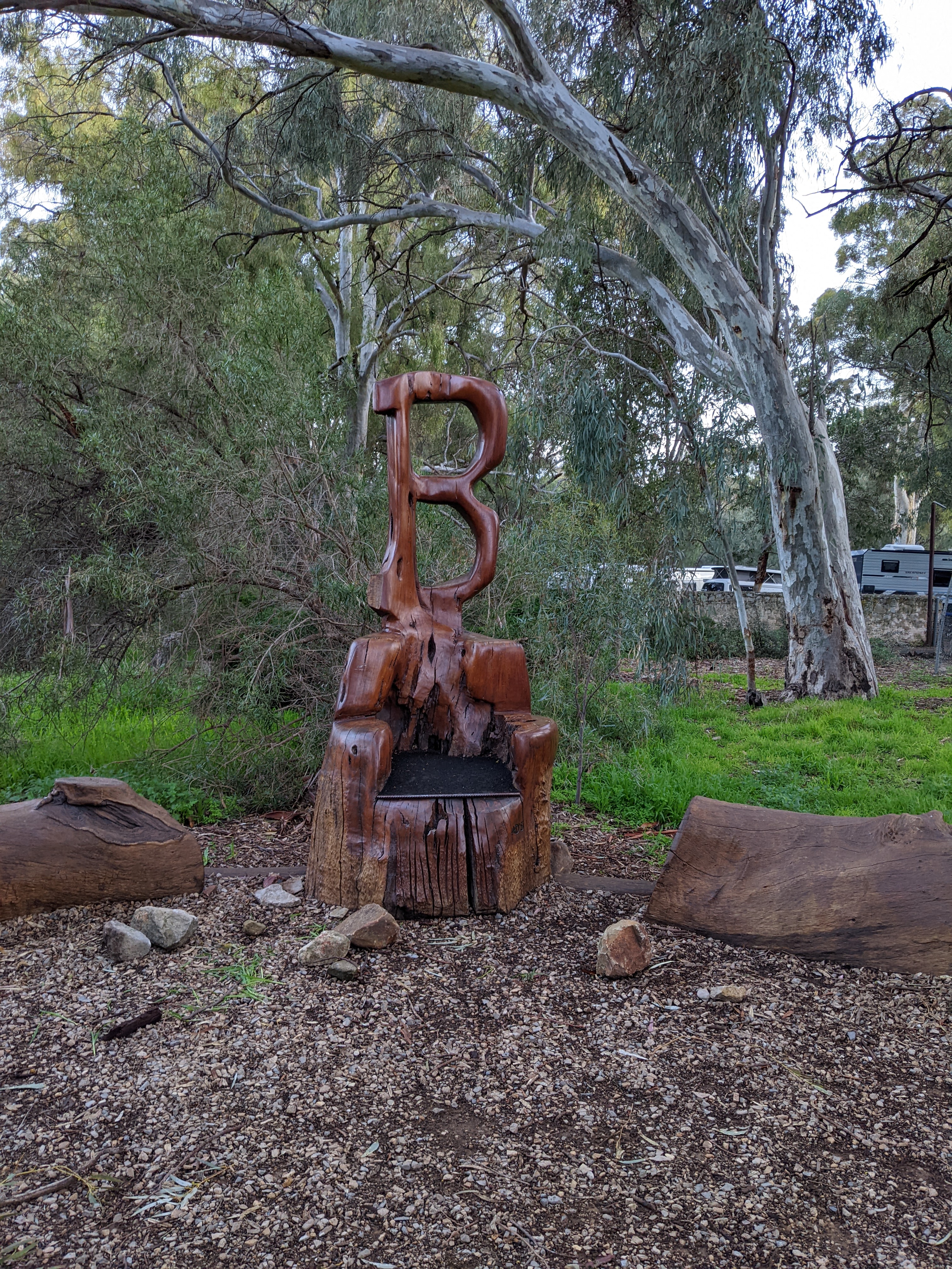
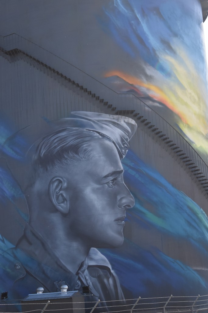
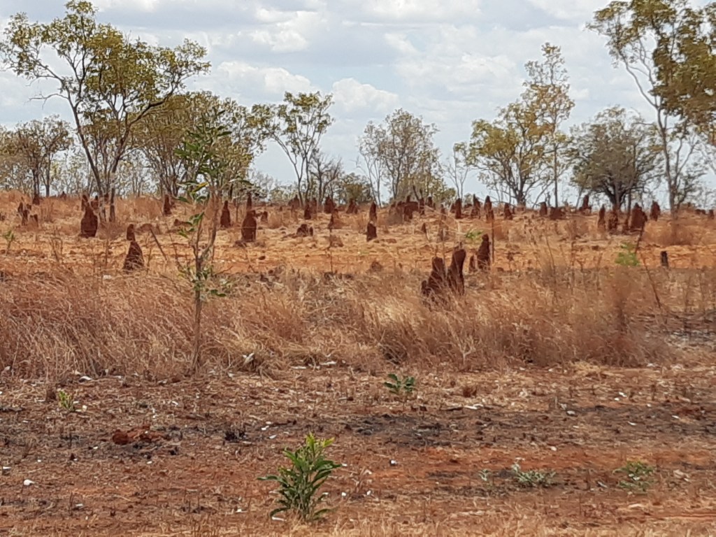
Colours of the night sky, and a large ant nest found when looking for fire wood.
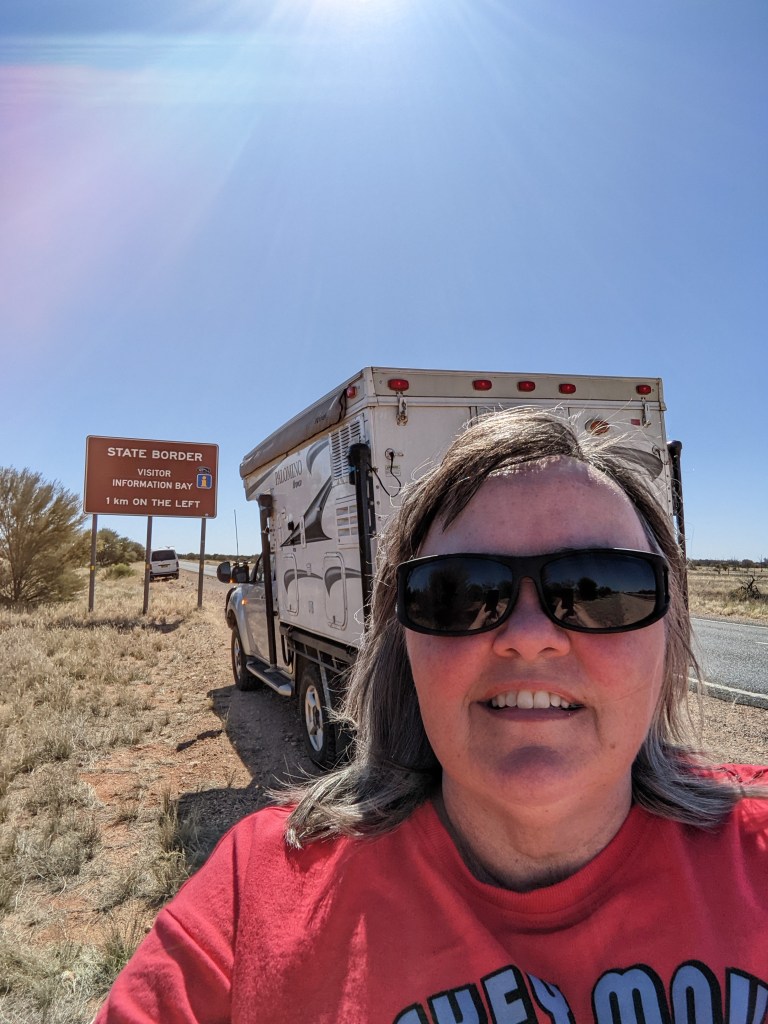
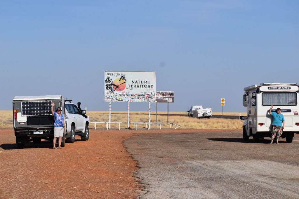
One foot in South Australia, one foot in the Northern Territory
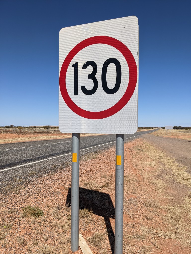
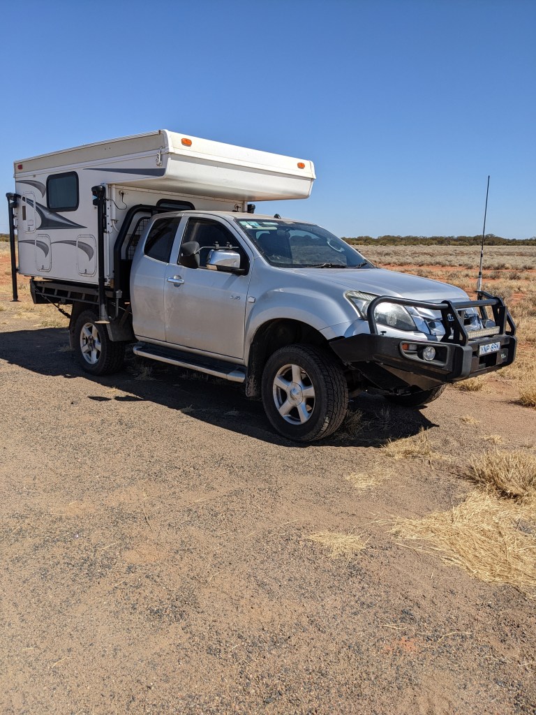
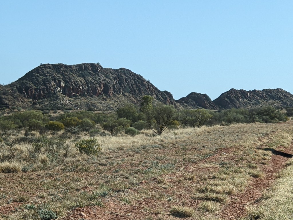
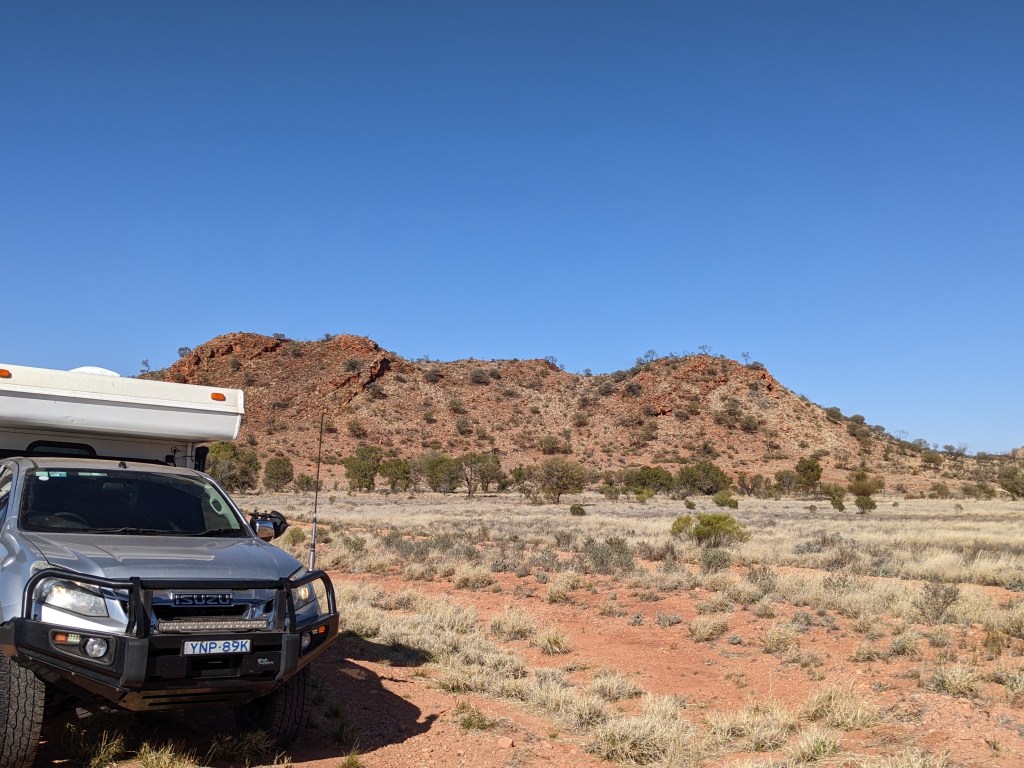
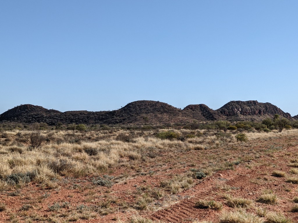
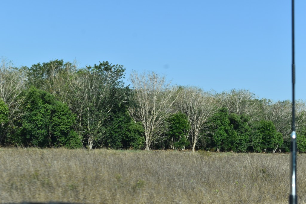
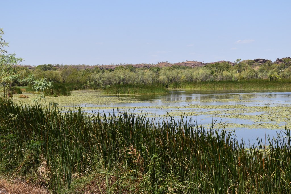
Ever changing landscape
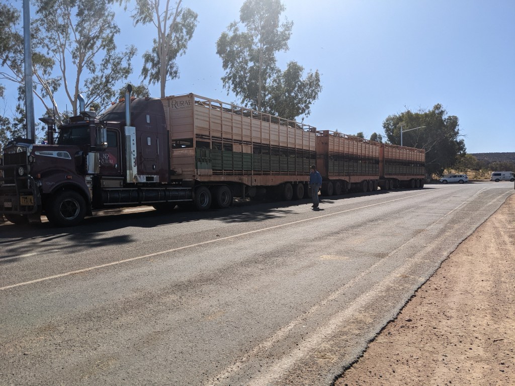
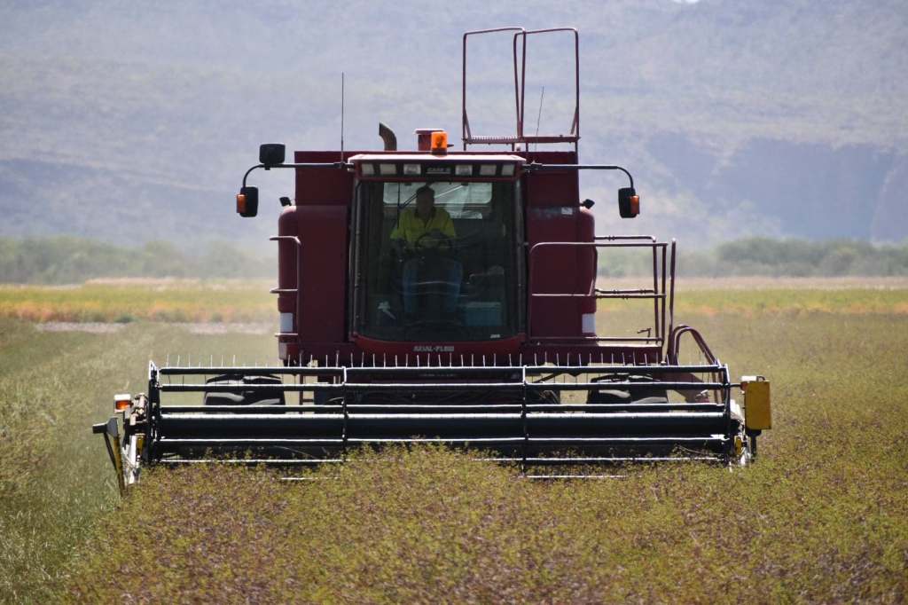
Road trains are often 50 metres long, with three trailers. Using a UHF radio on channel 40 will allow you to liaise with the drivers should you want to pass.
This truckie stopped to check tyres and for a quick break. Given the amount of urine flowing from this fully laden cattle truck, I’ll bet he was mighty glad there was no need to climb under and change any tyres! 🙂 🙂
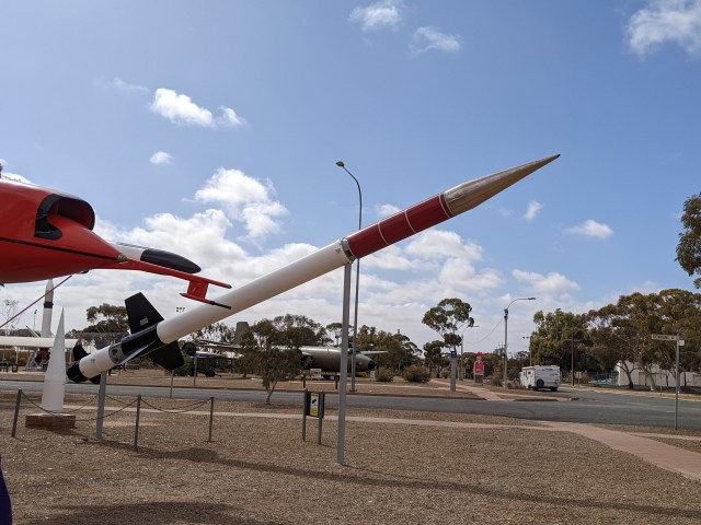
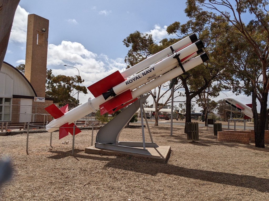
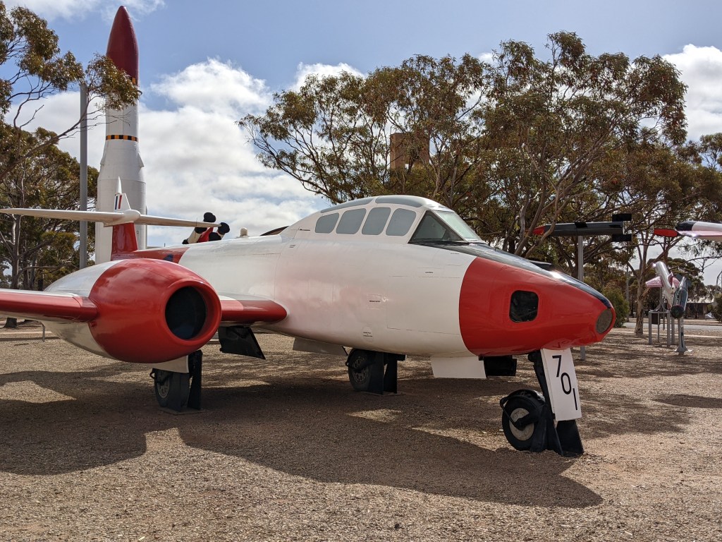
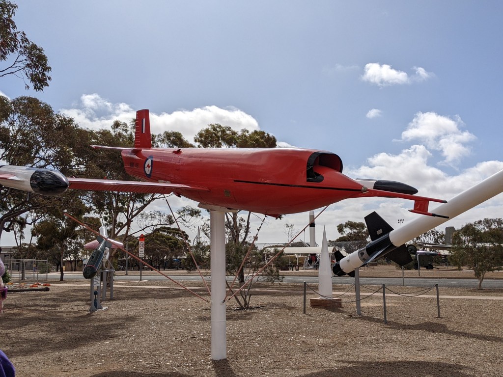
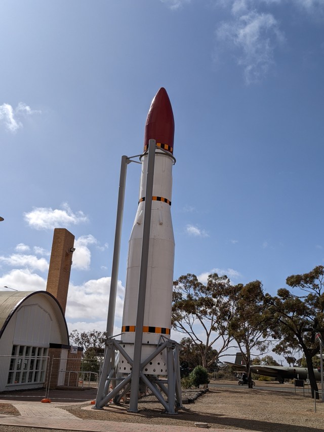
Woomera Village is the domestic area of the Woomera RAAF Base. it houses the Woomera National aerospace and Missile Park, which features missiles, rockets and aircraft used in trials over the last 60 years.
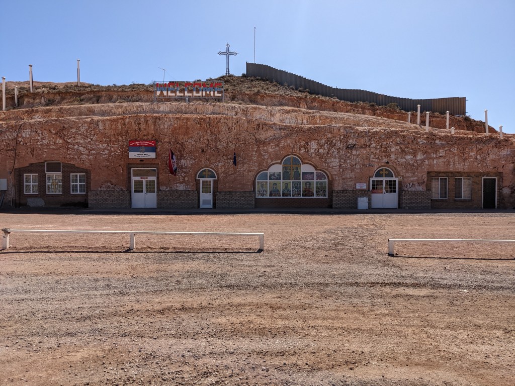
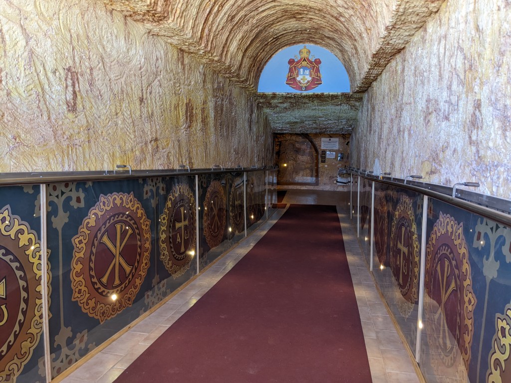
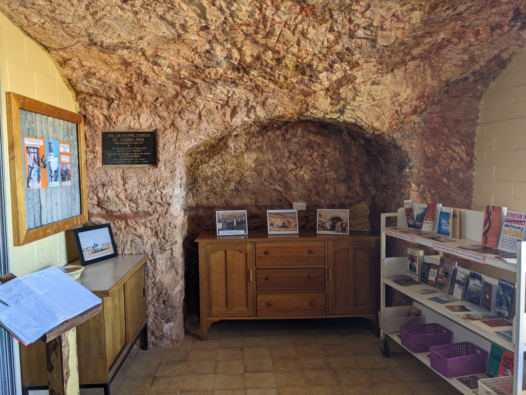
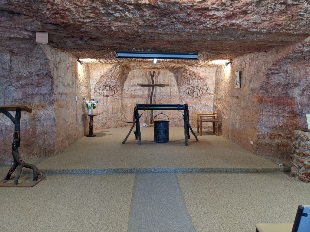
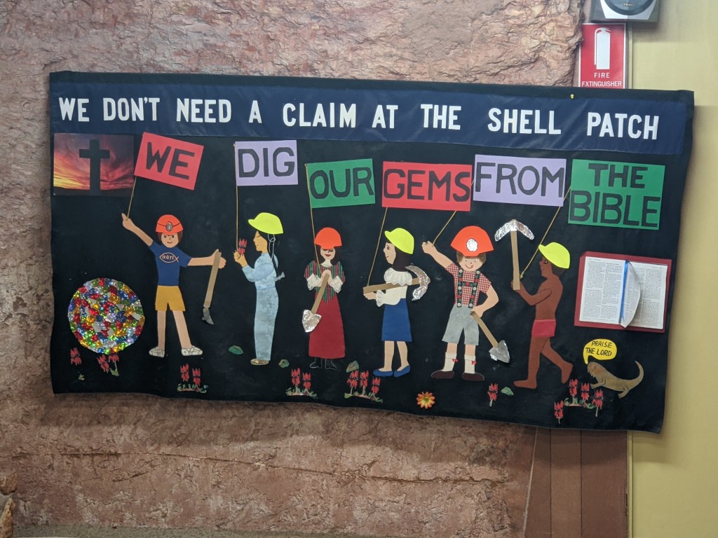
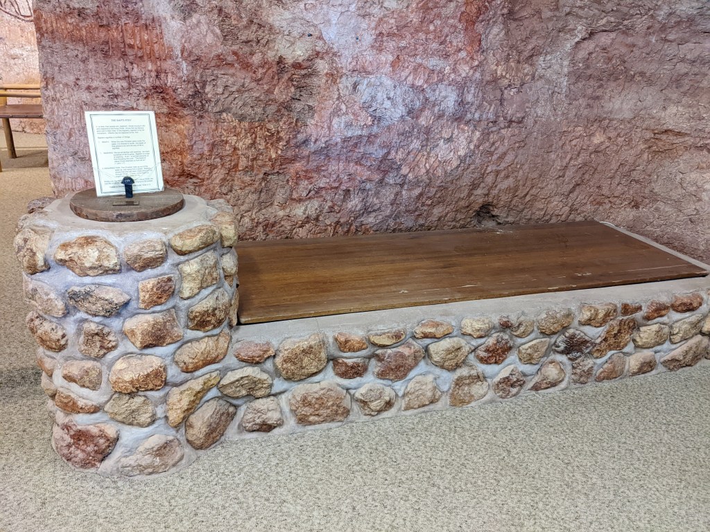
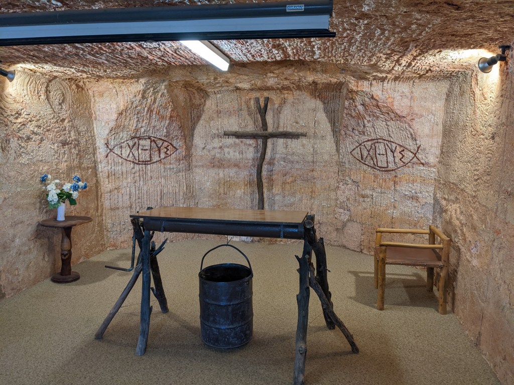
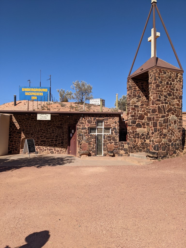
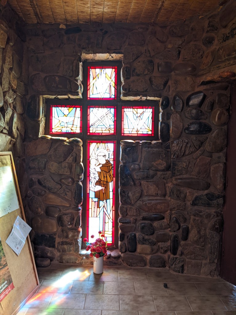
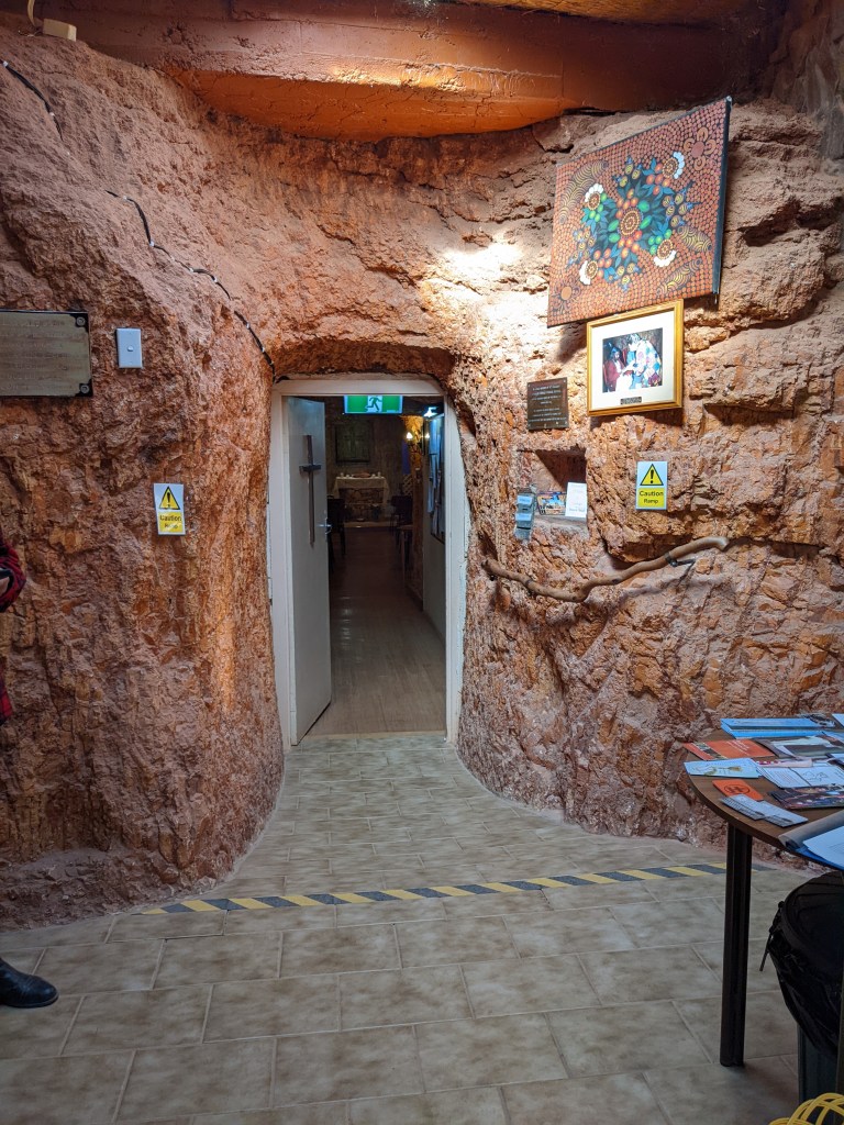
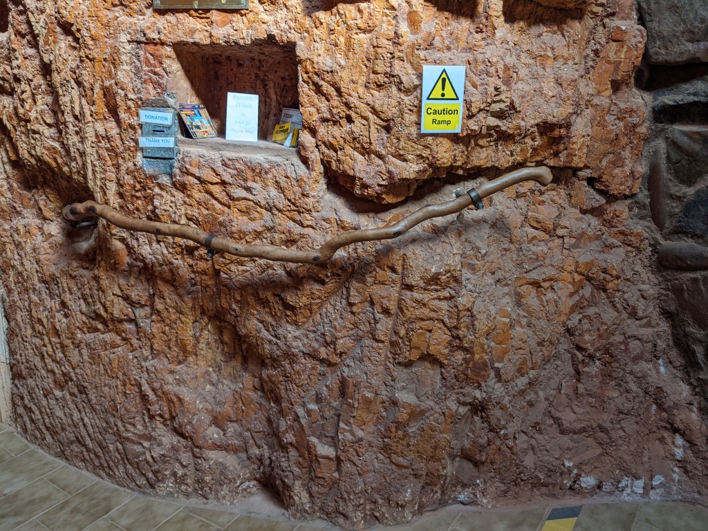
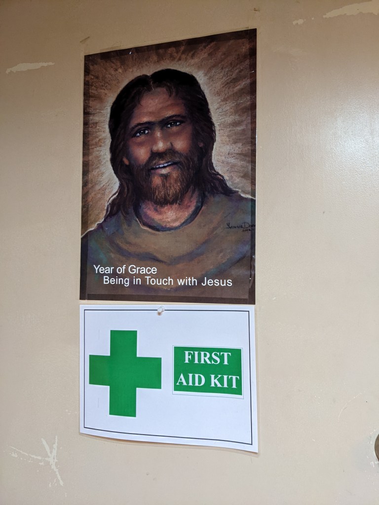
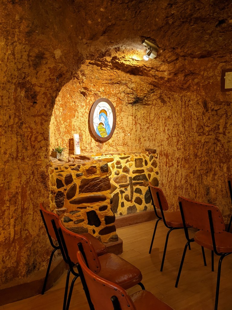
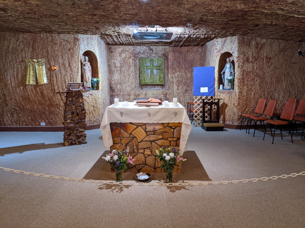
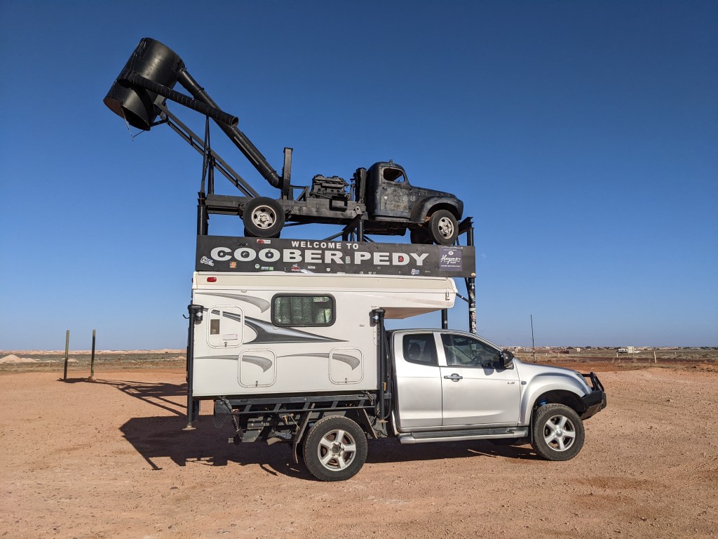
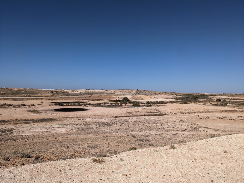
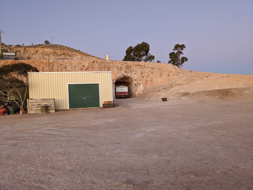
Coober Pedy is an opal mining town 850km north of Alice Springs. The tag-along tour stayed here and we had a couple of days to explore the town. It is an area of high temperatures and sparse vegetation. Many buildings are underground.
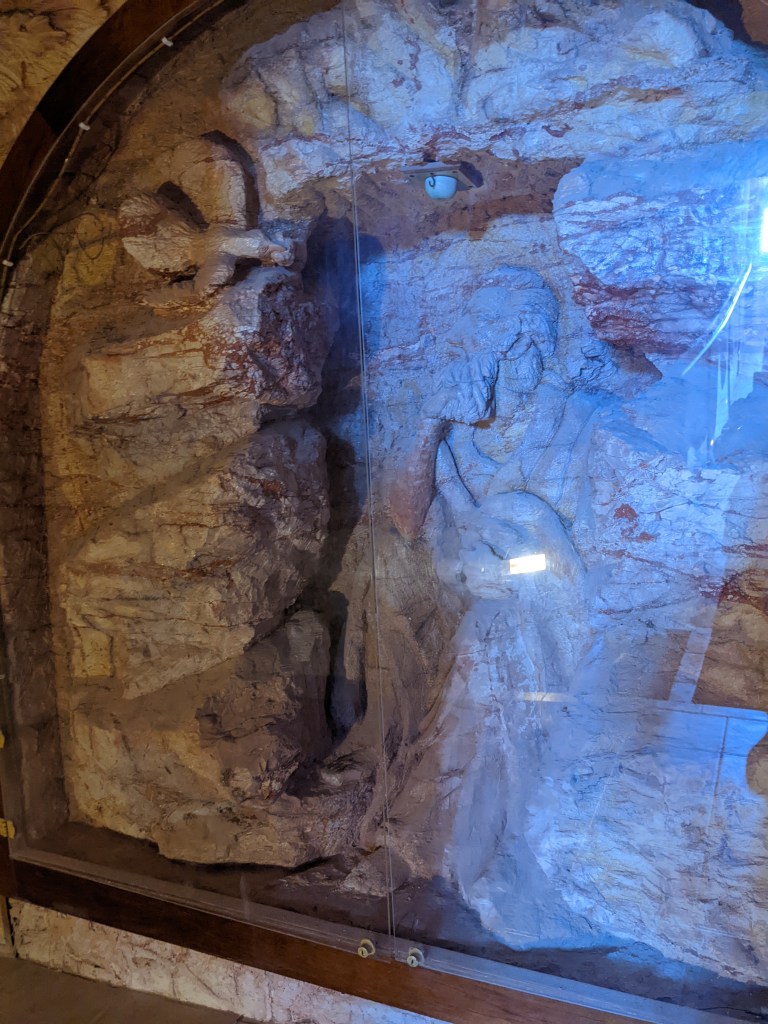
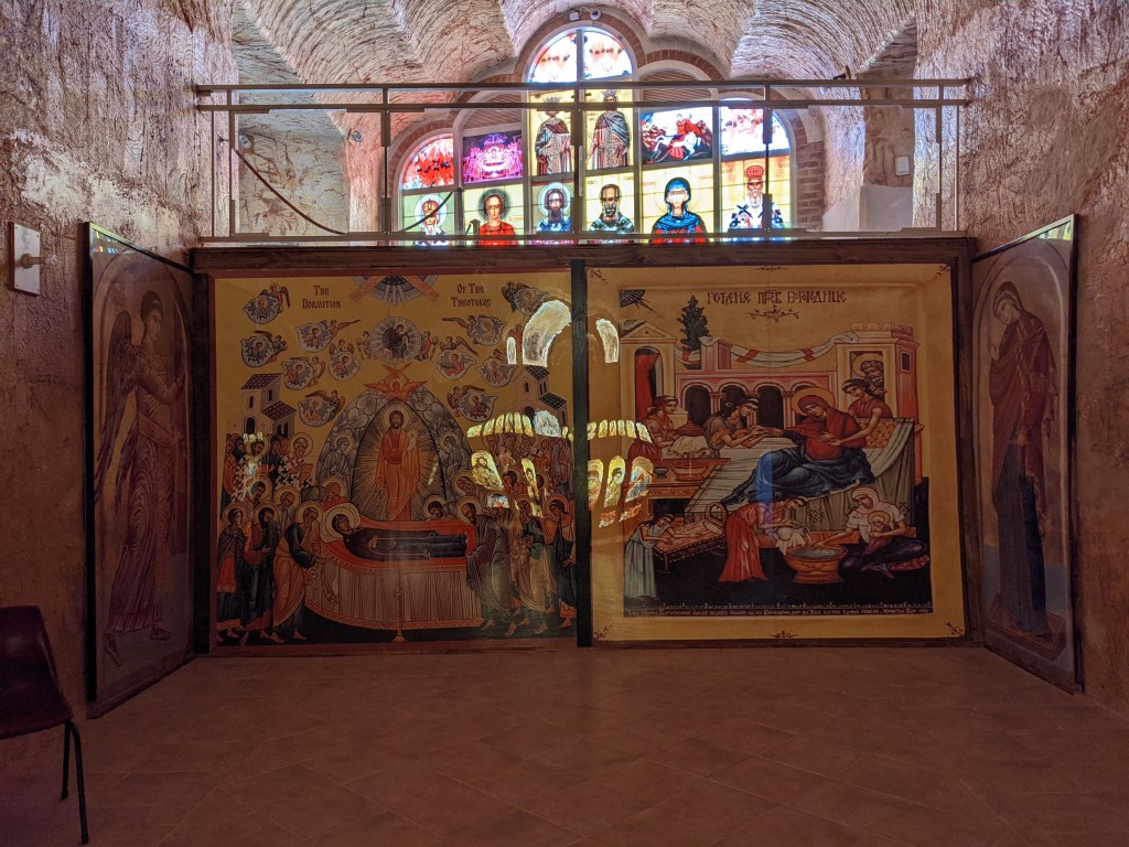
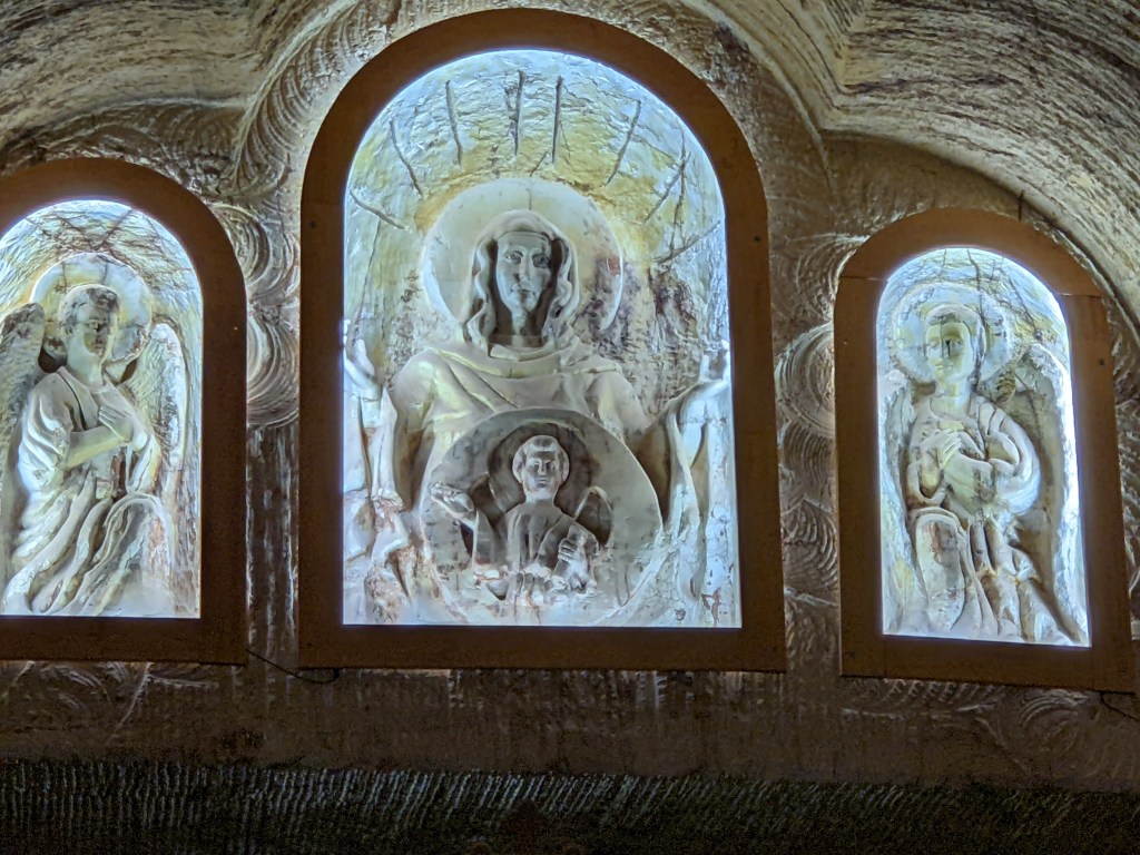
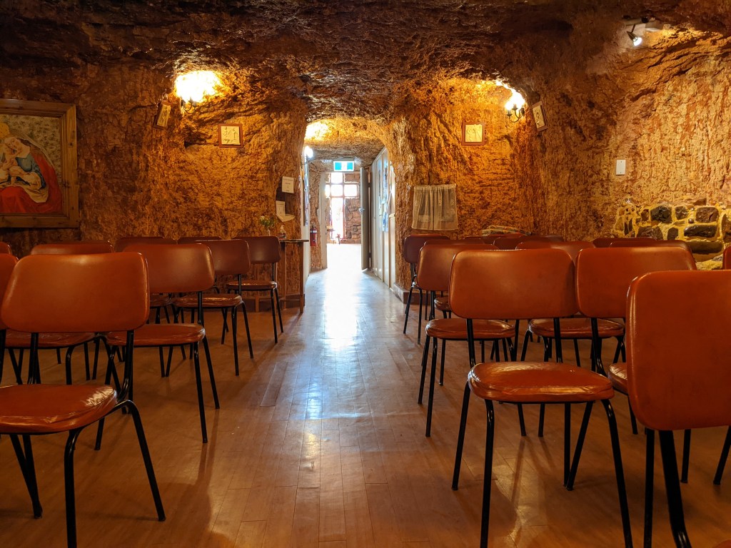
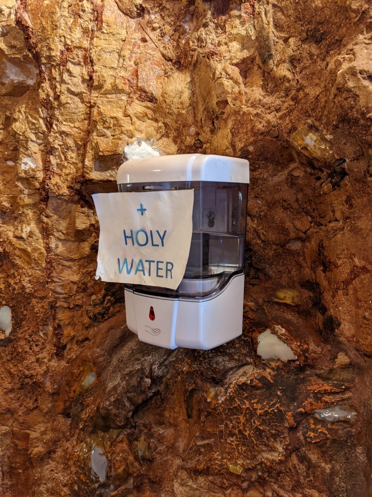
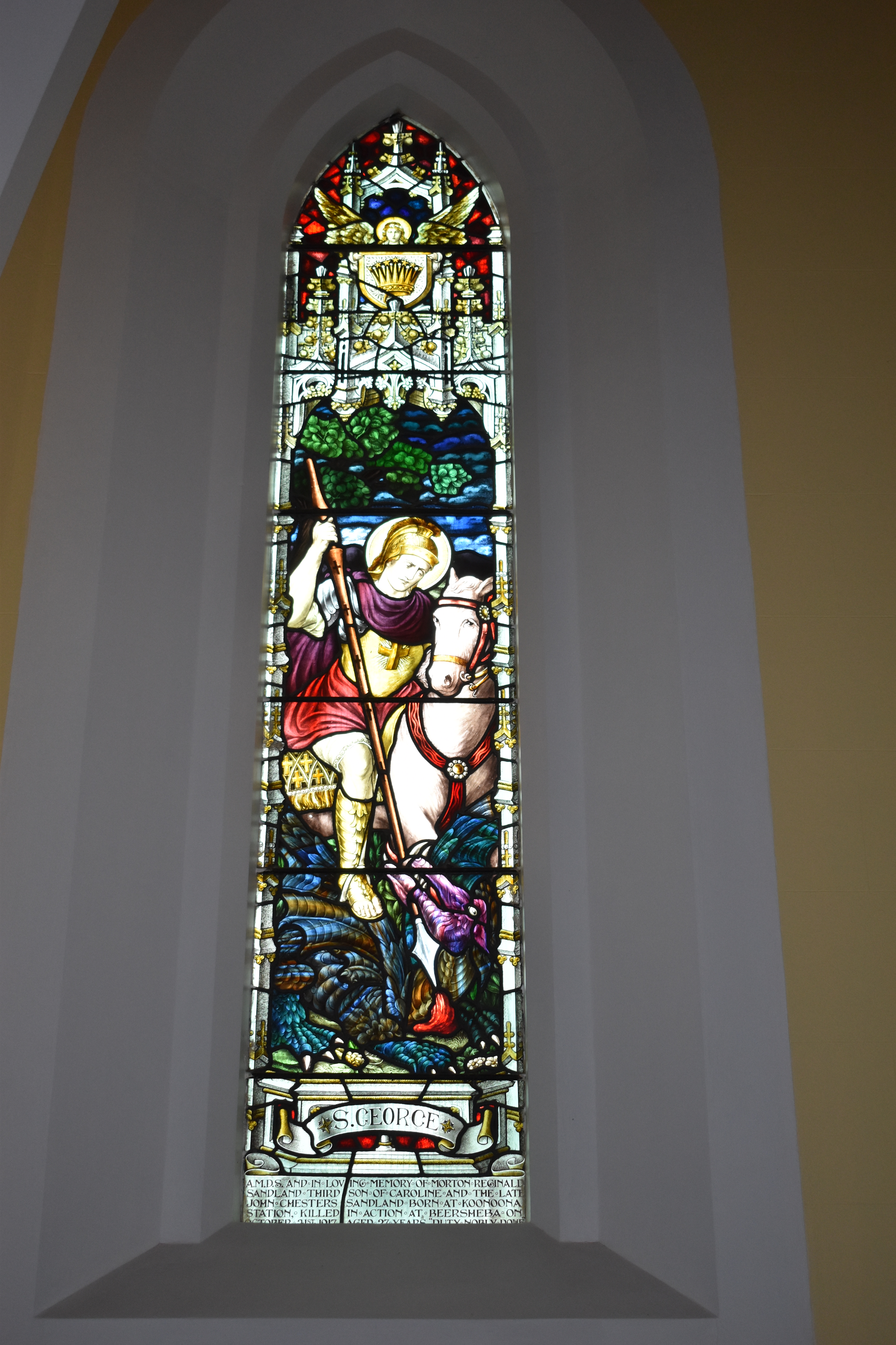
Underground Churches
There are three underground churches in Coober Pedy, each quite different
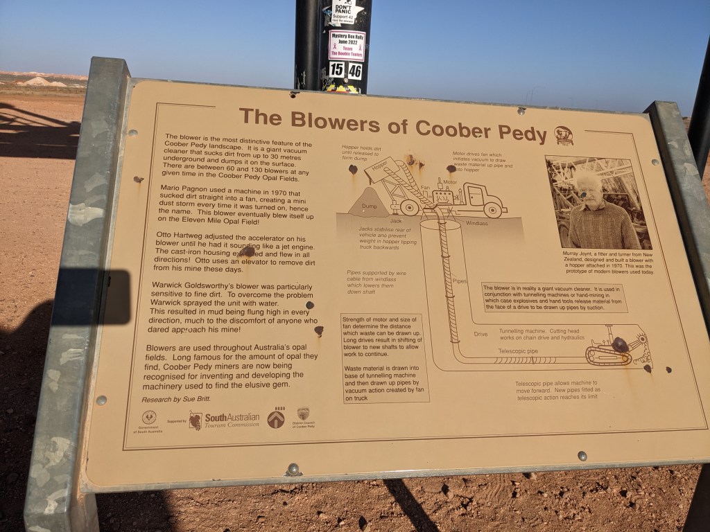
Many people come to Coober Pedy and get the mining bug. Mining nowadays is quite expensive, with the use of large machinery and equipment. A blower is like a huge vacuum which sucks the loosened dirt and rocks from the shafts dug below so it can be processed for any opal.
What’s the weight limit on that vehicle? 🙂 🙂
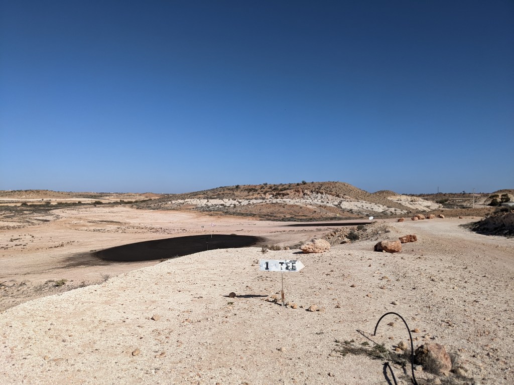
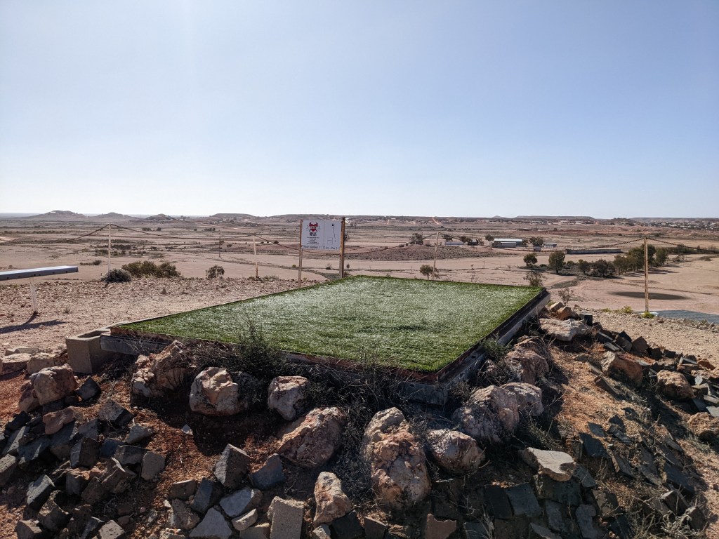
The local golf course gives a good indication of the landscape.
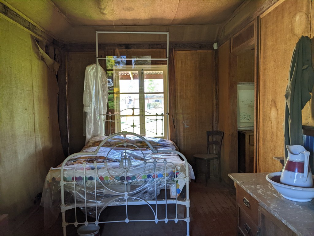
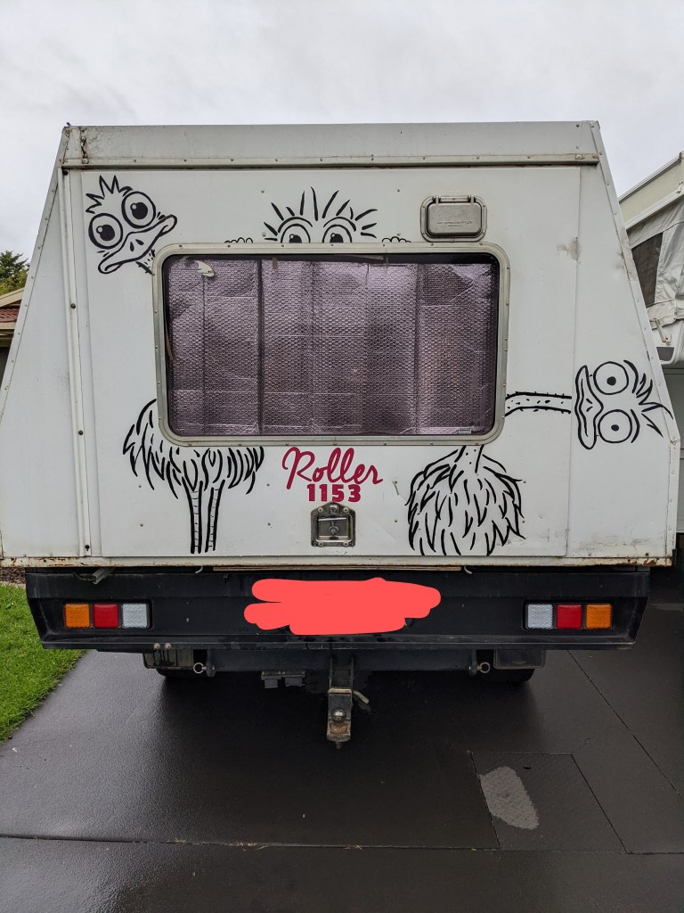
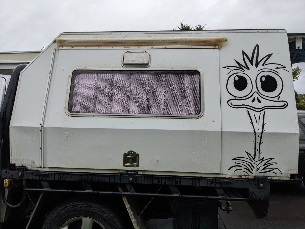
Our campsite – Coober Pedy Views – caters for vans and also has B&B facilities in the underground house. It is owned by a Roller.
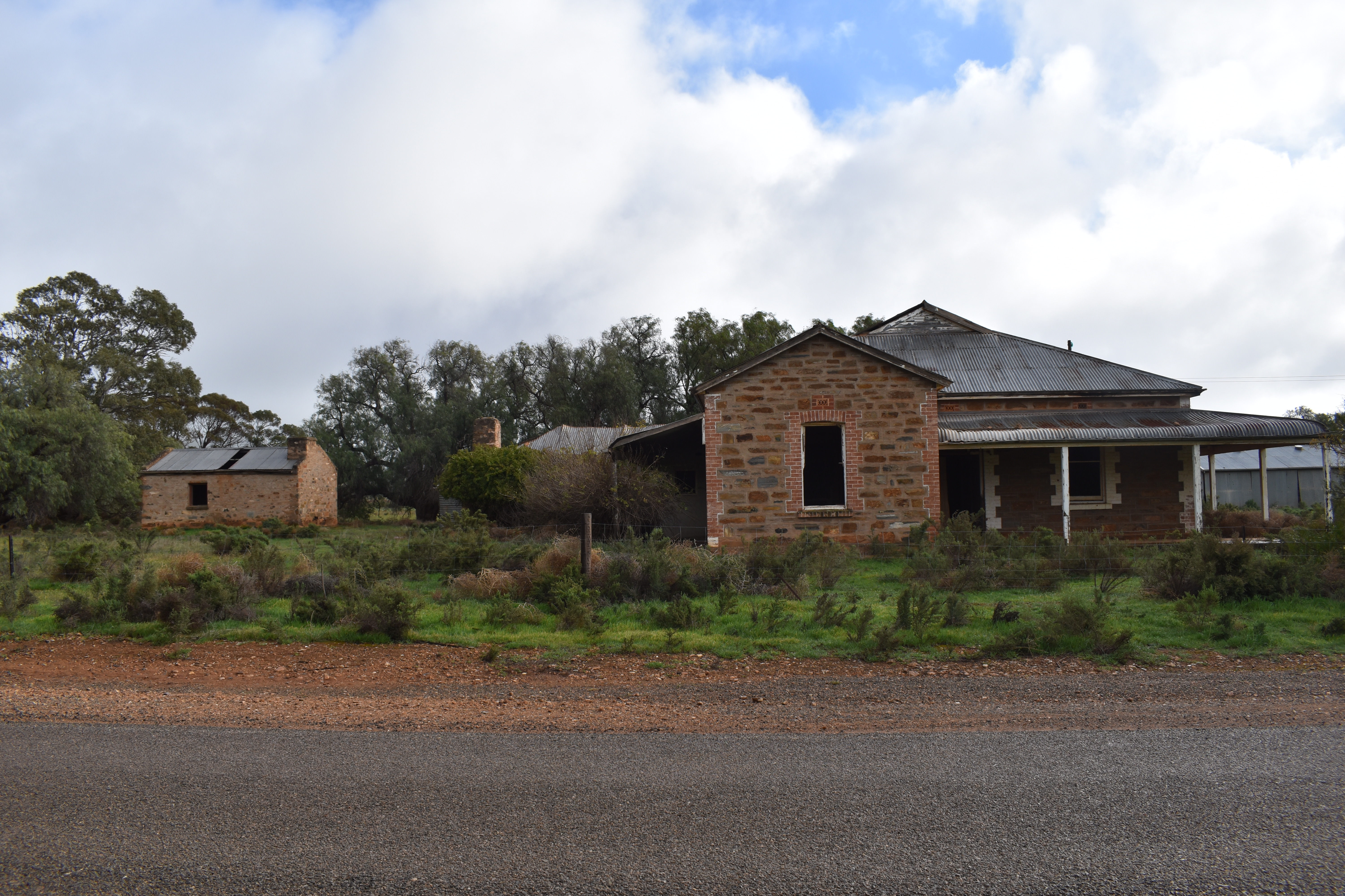
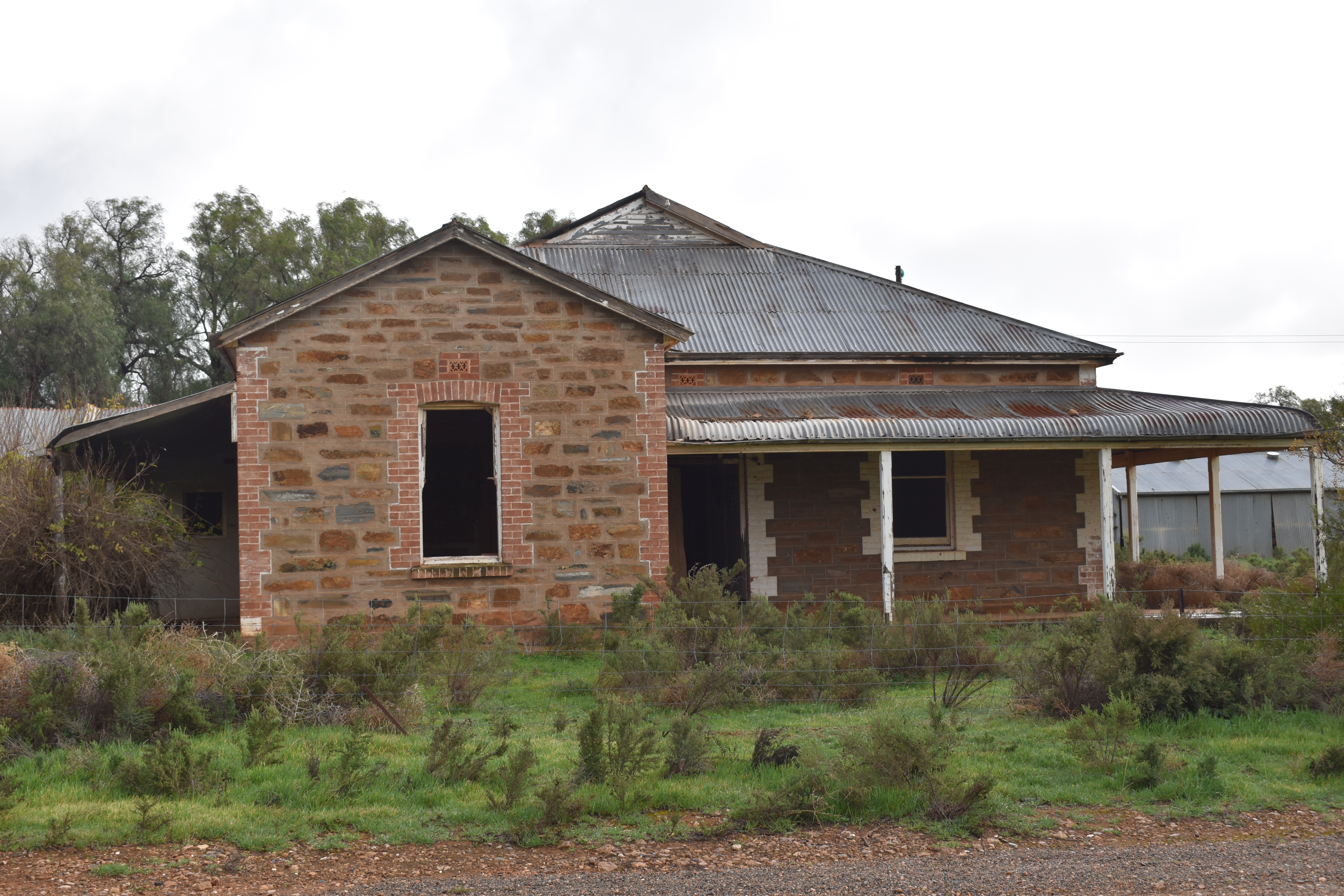
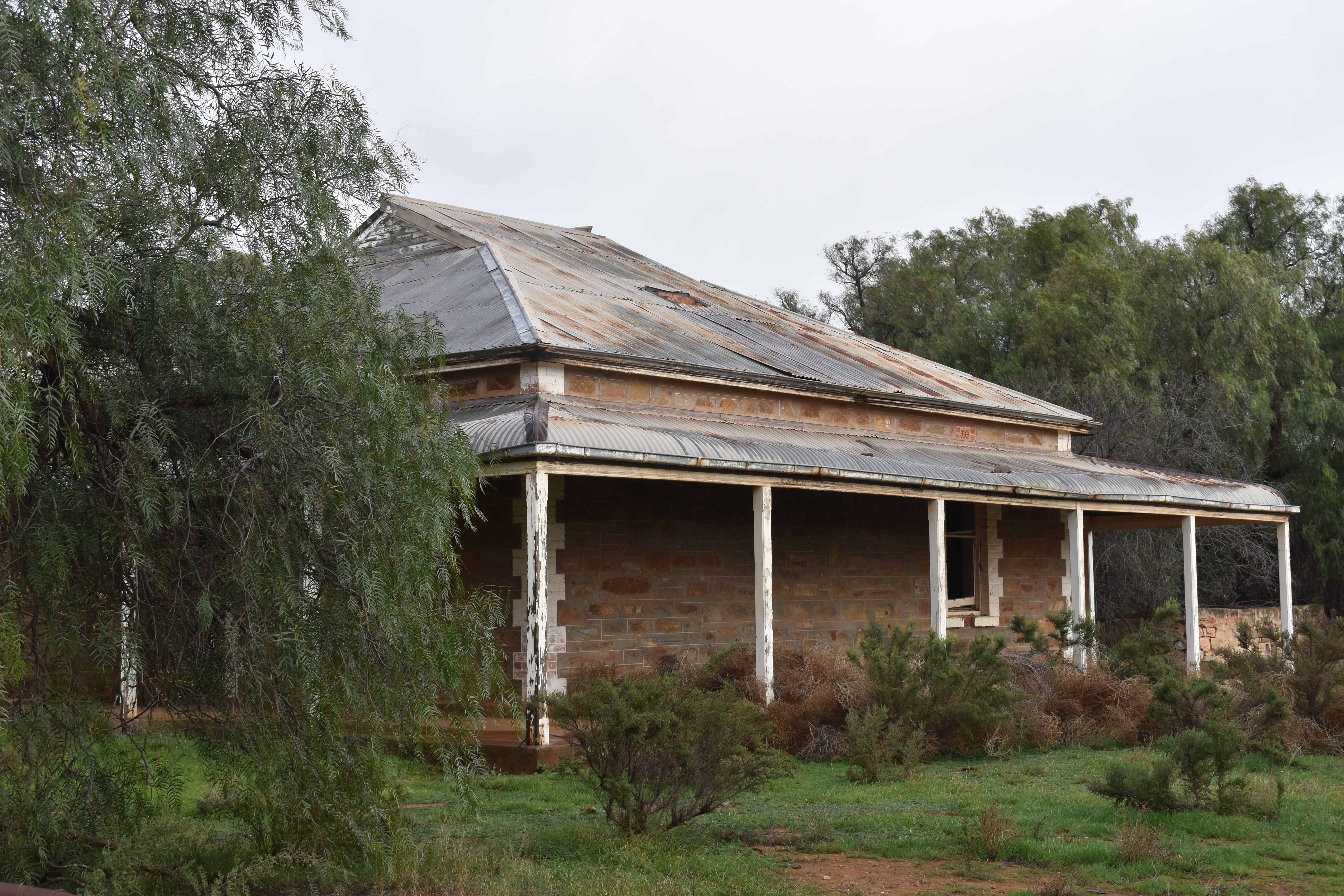
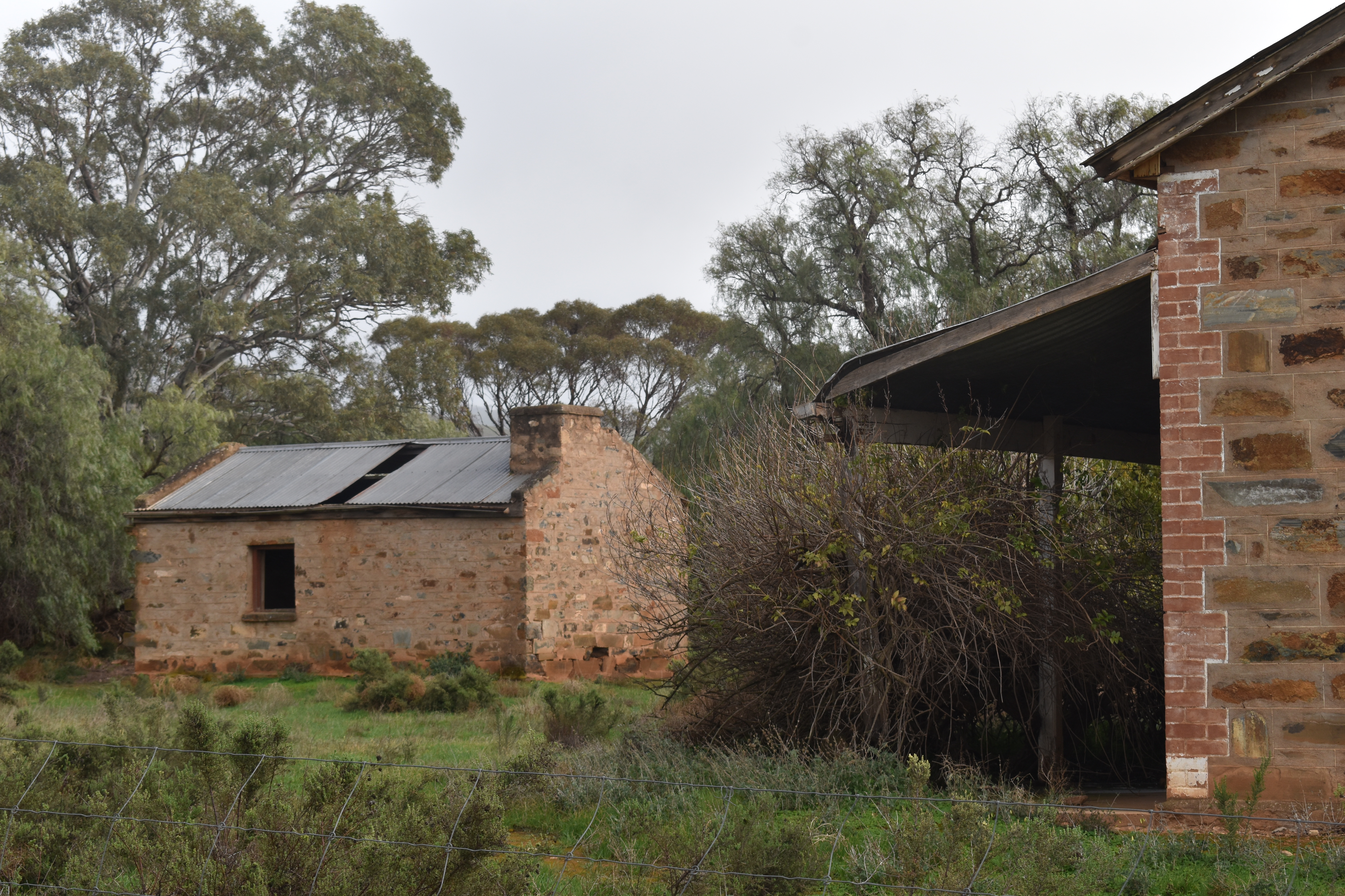
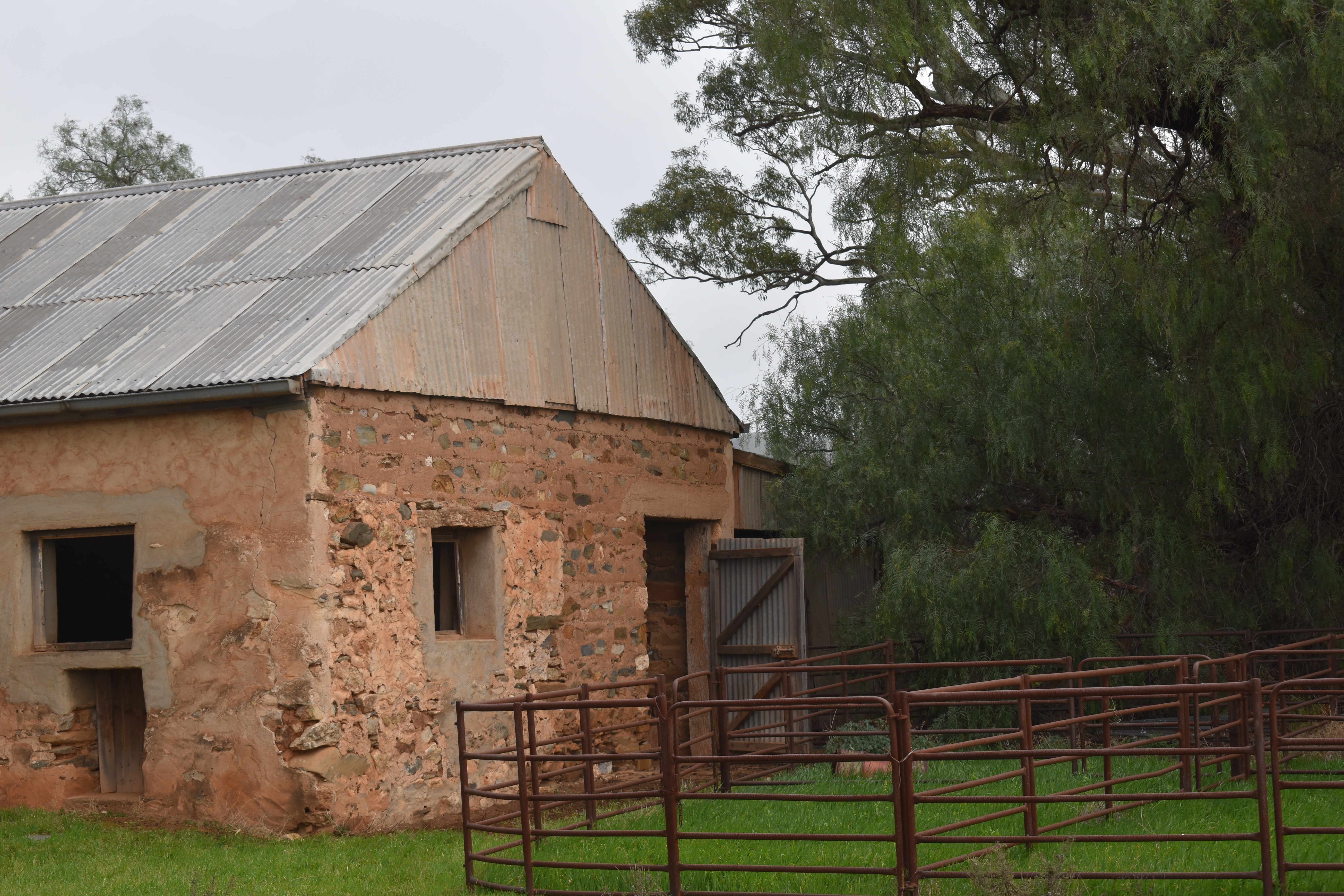
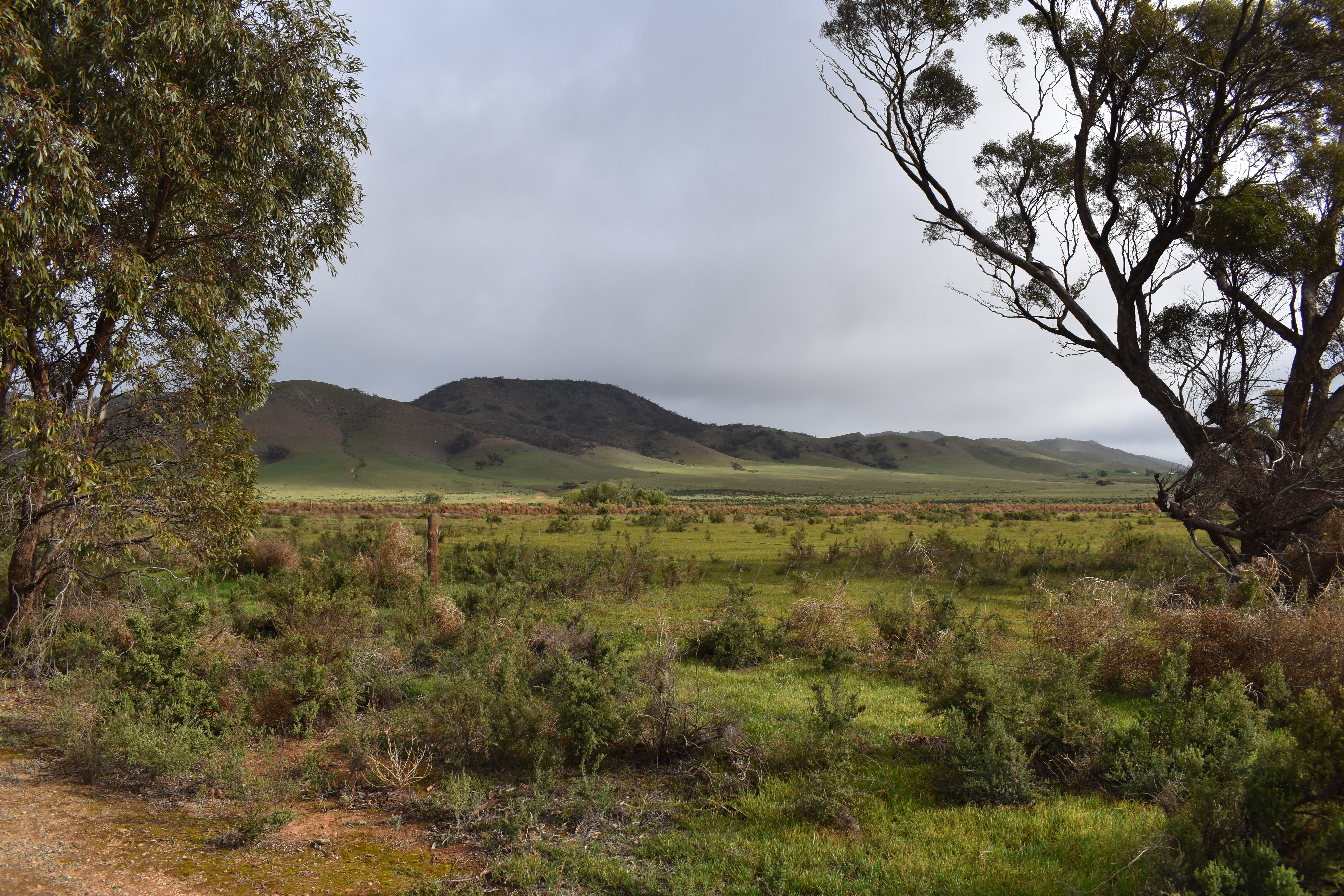
World’s End campground is a beautiful place to camp, and has an abandoned property nearby.
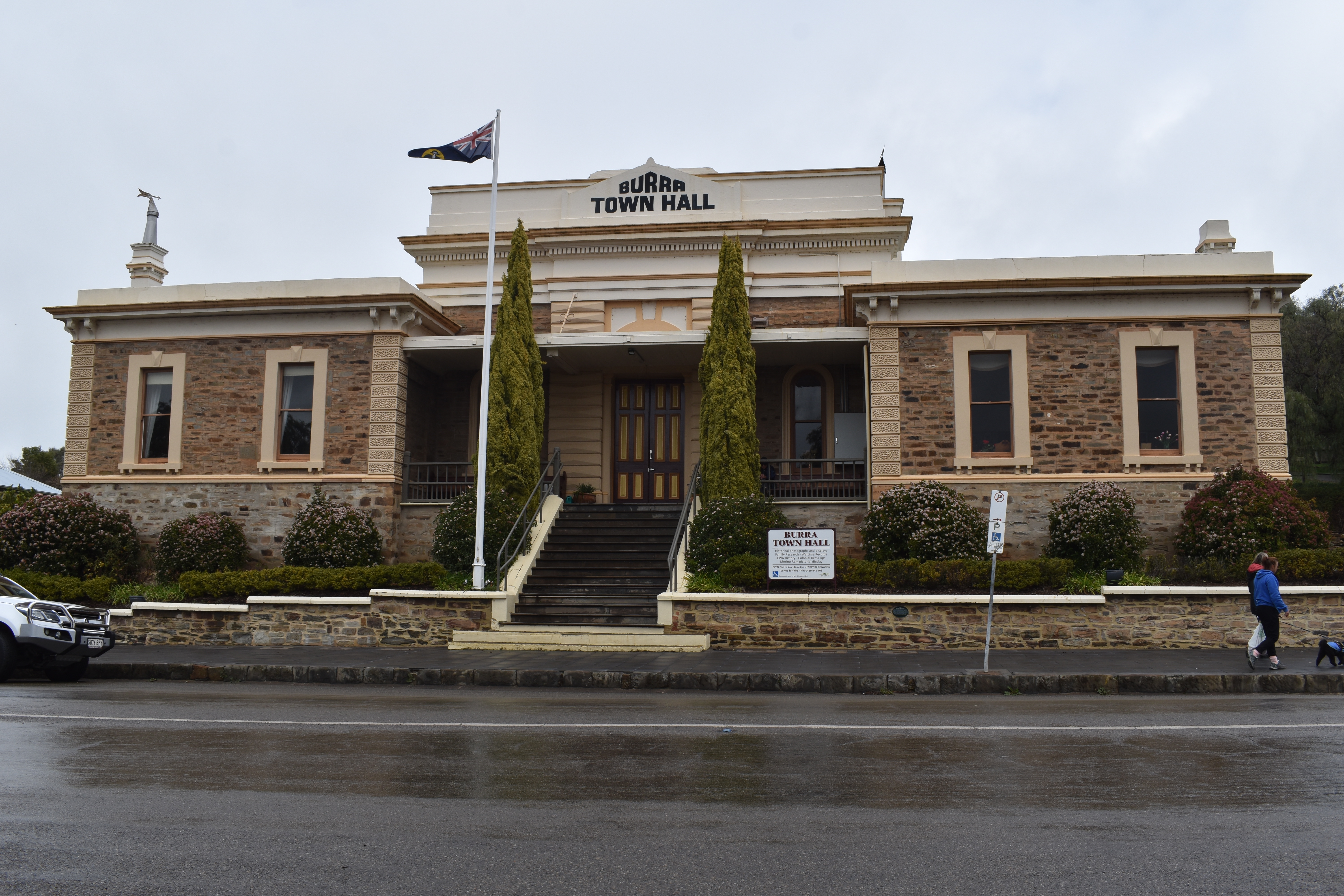
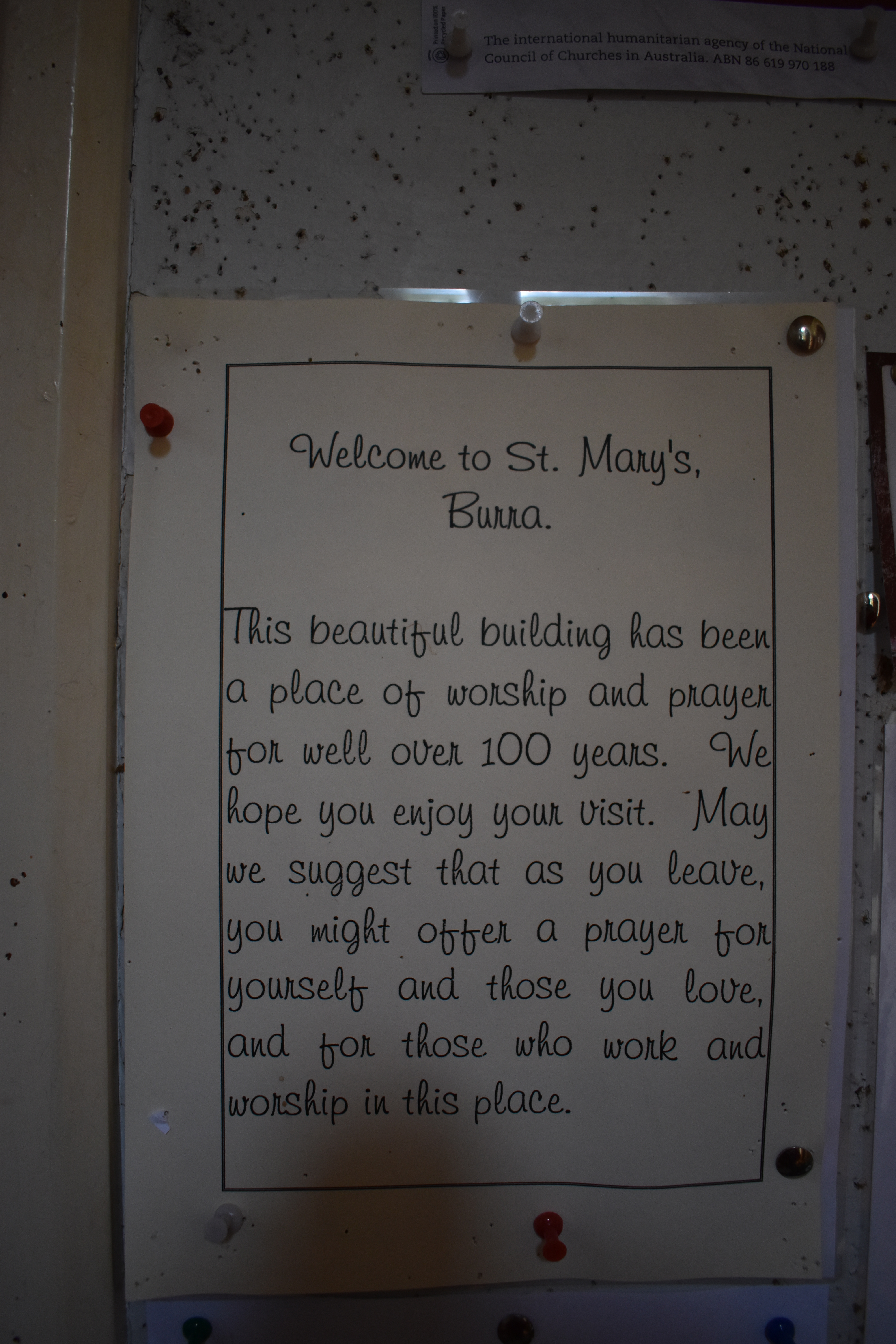
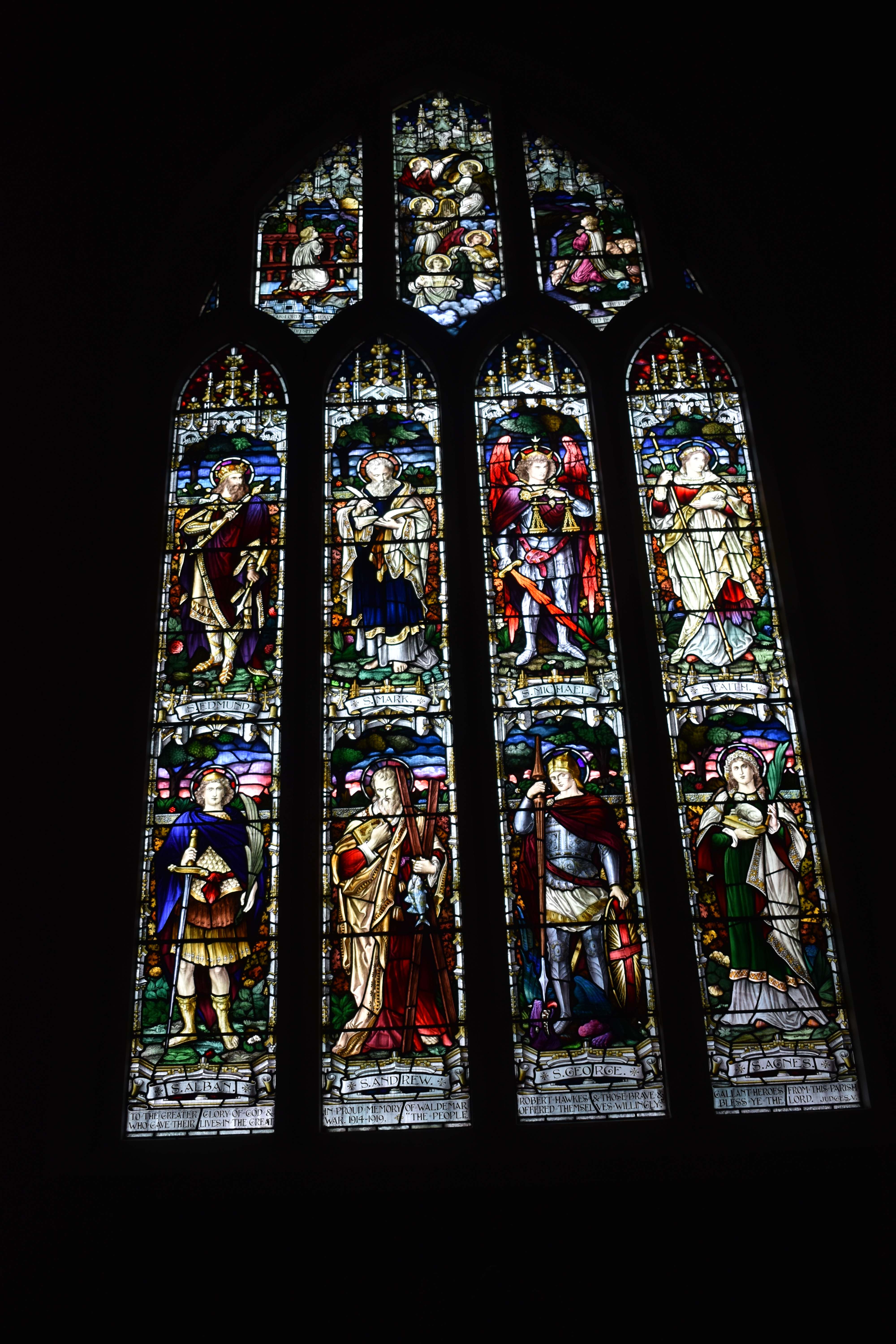
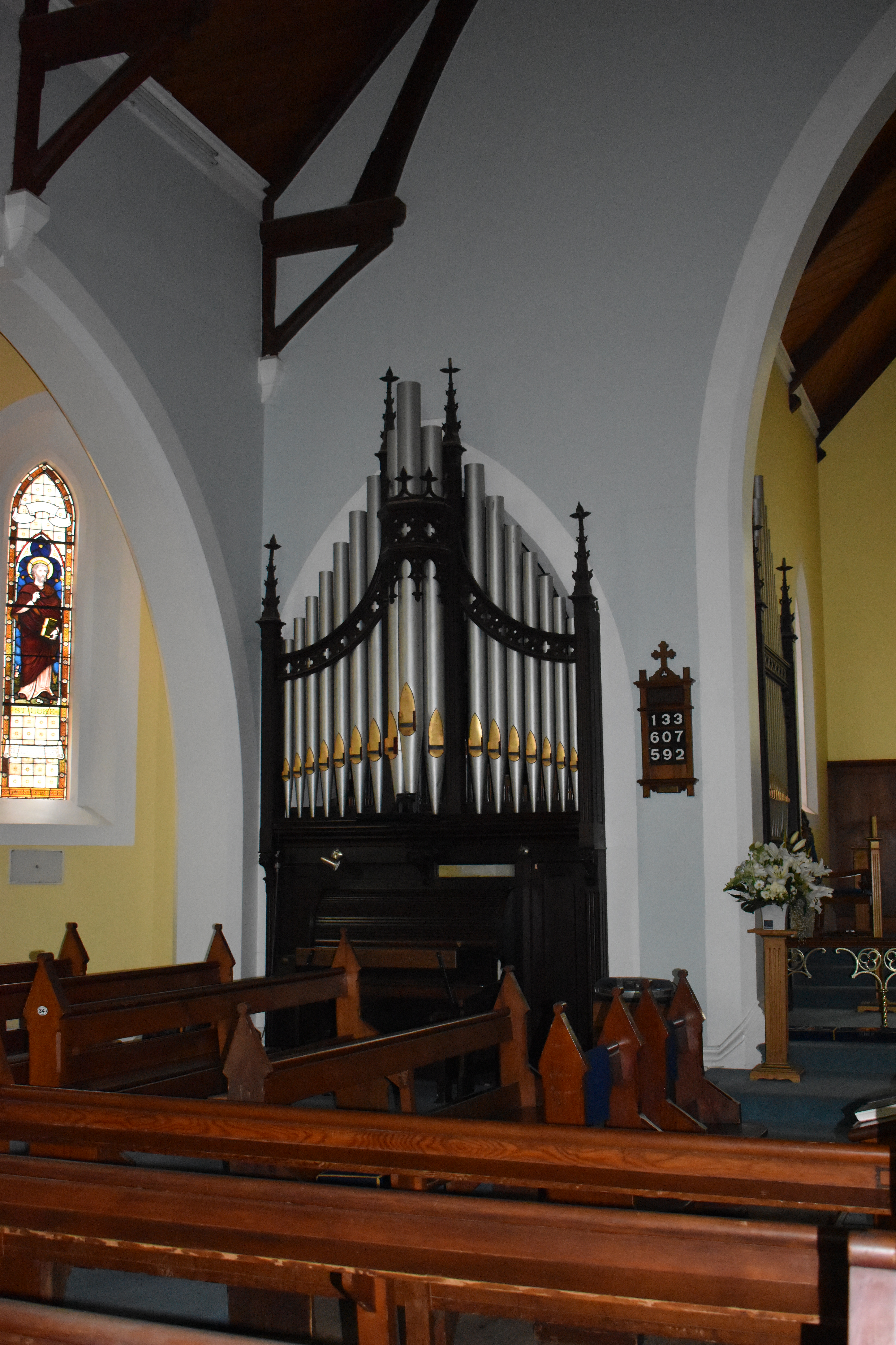
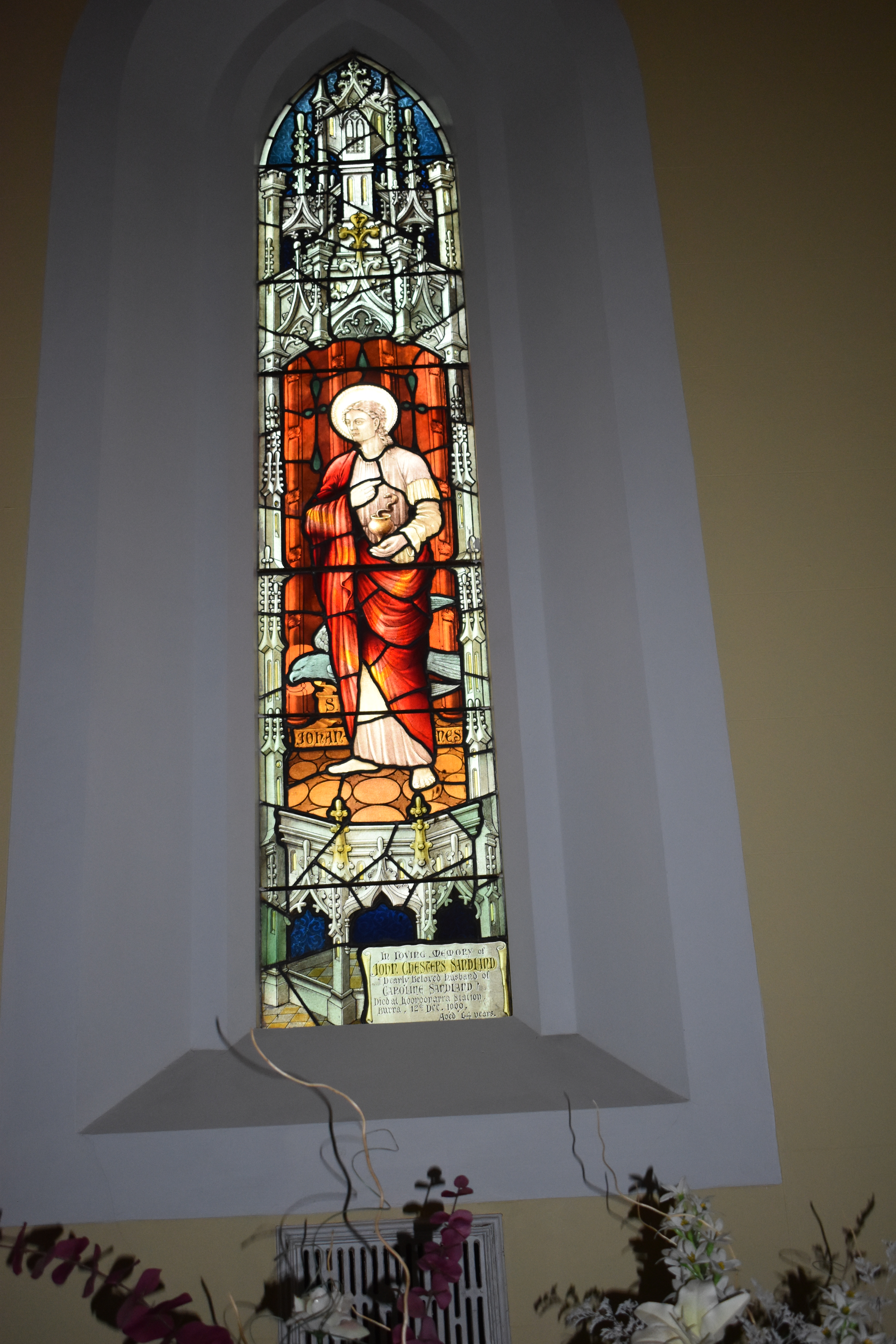
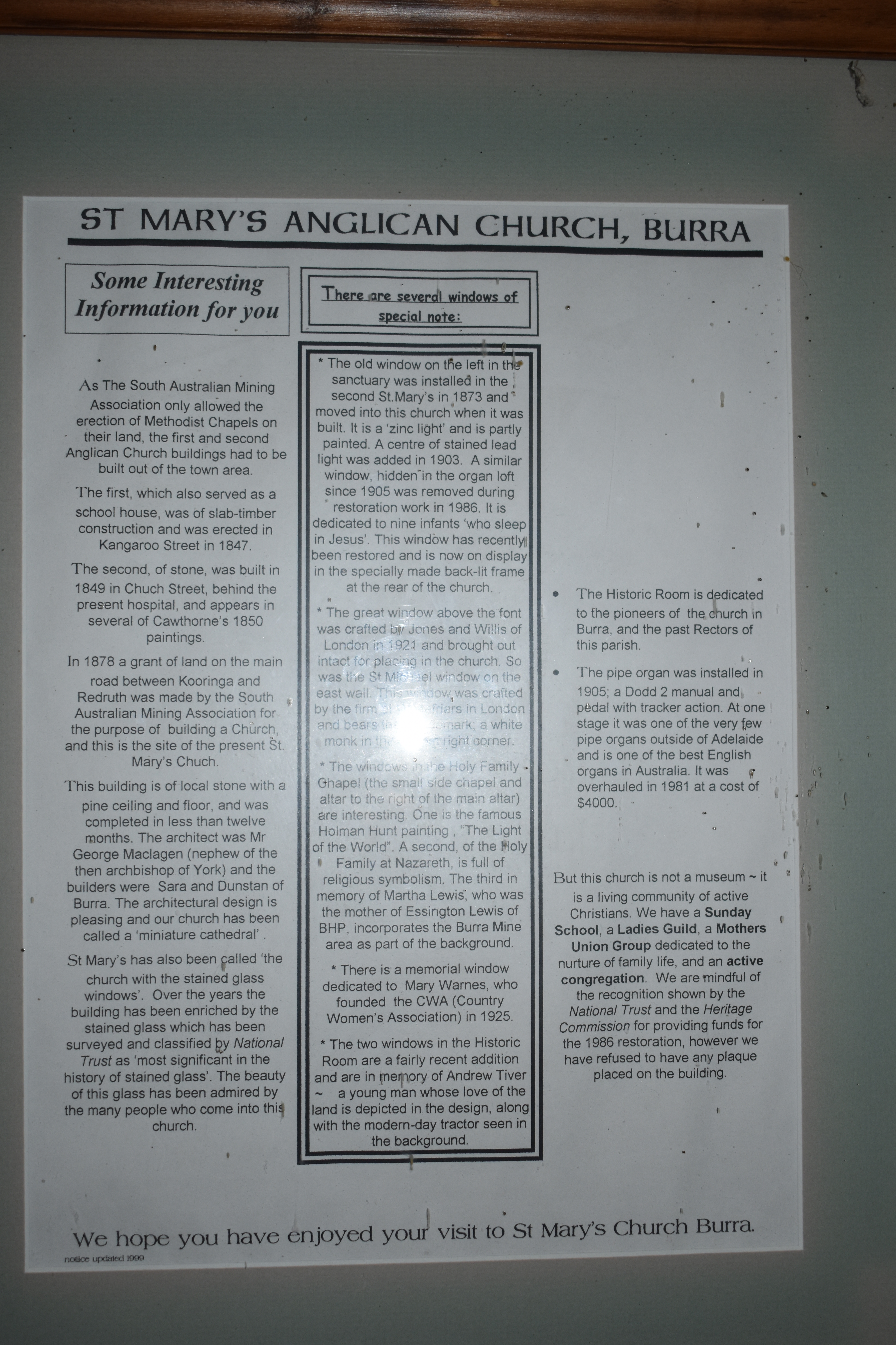
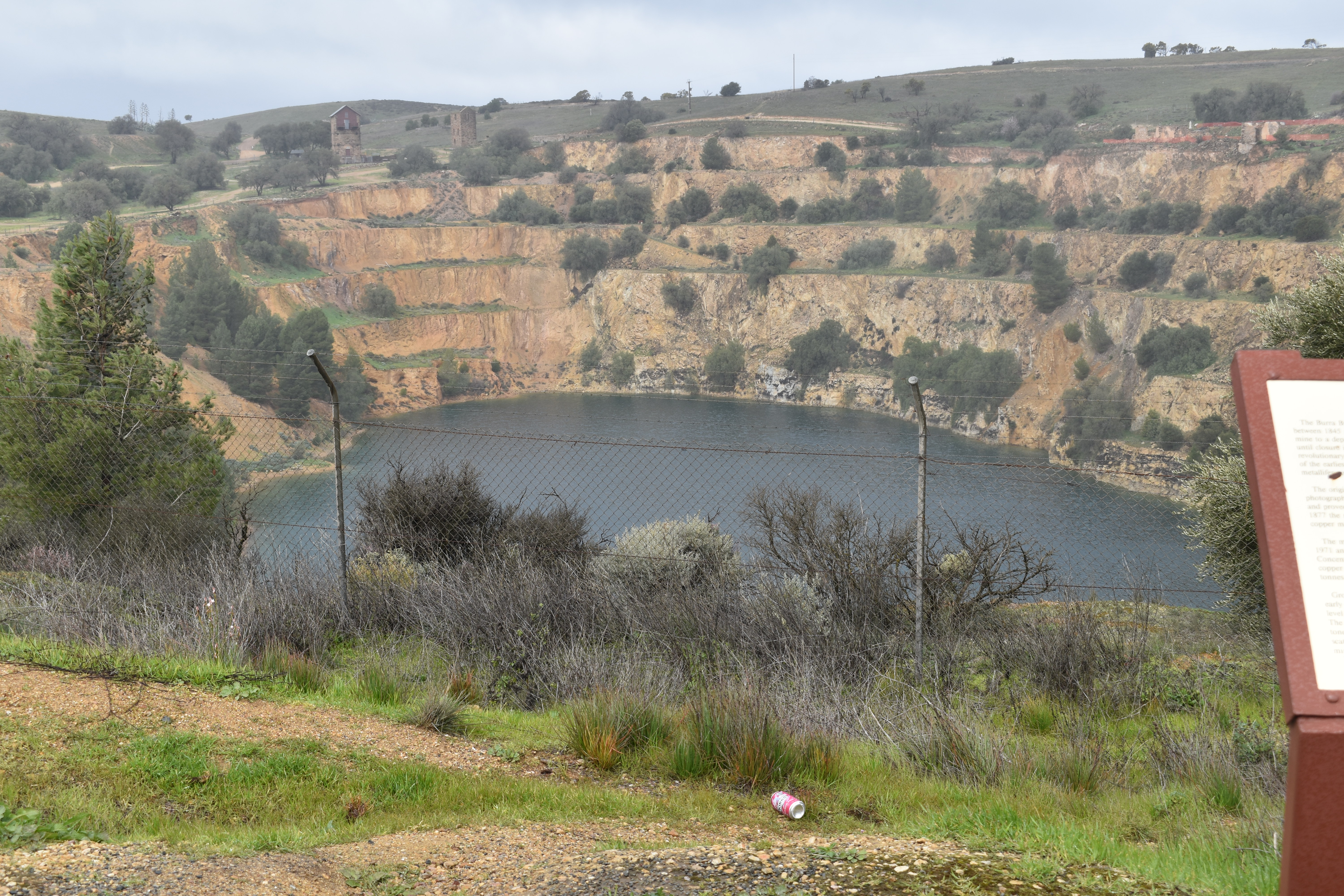
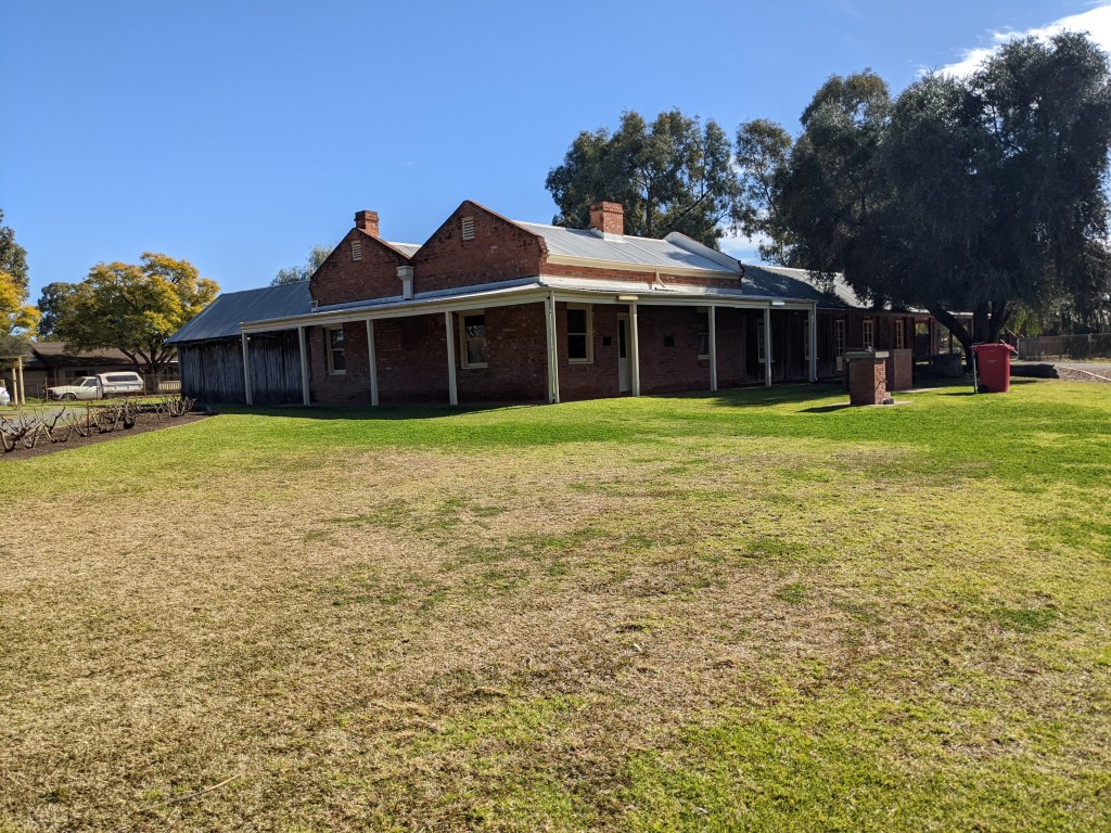
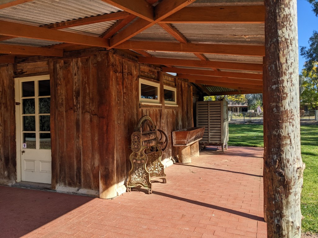
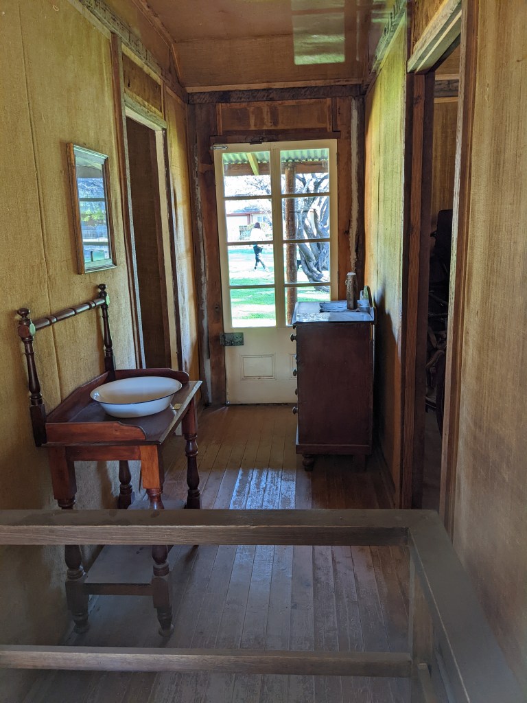
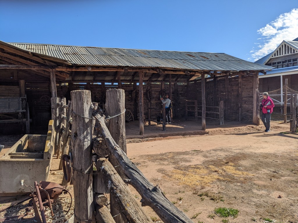
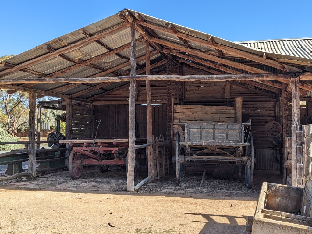
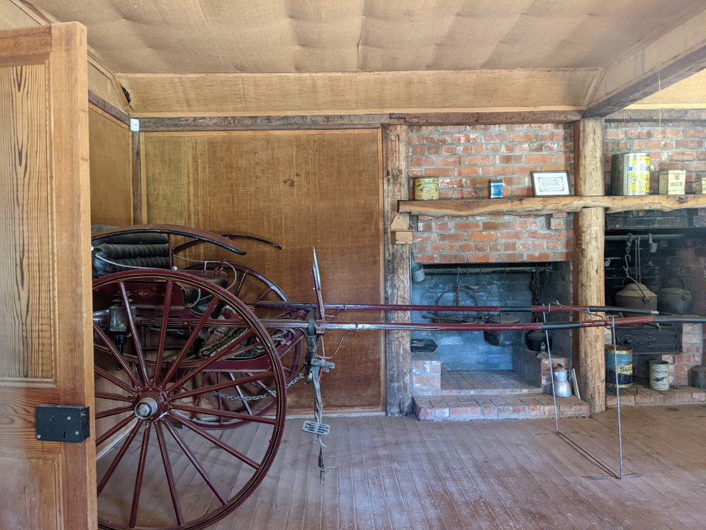
From here we moved on to Burra, which is a really interesting historic town. We weren’t staying here but I spent the day with a couple of Rollers checking out the churches, mine and blacksmith shop.
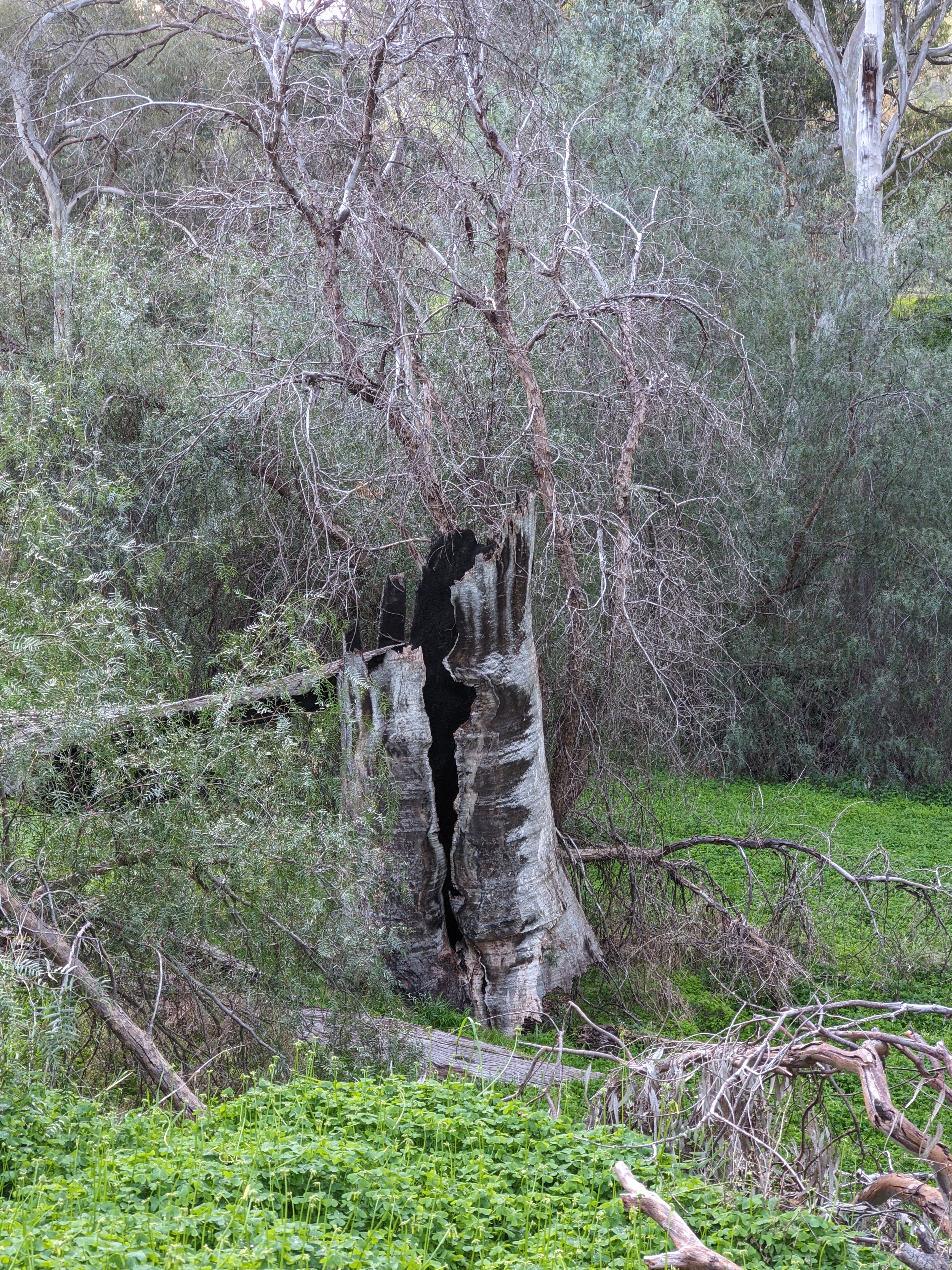
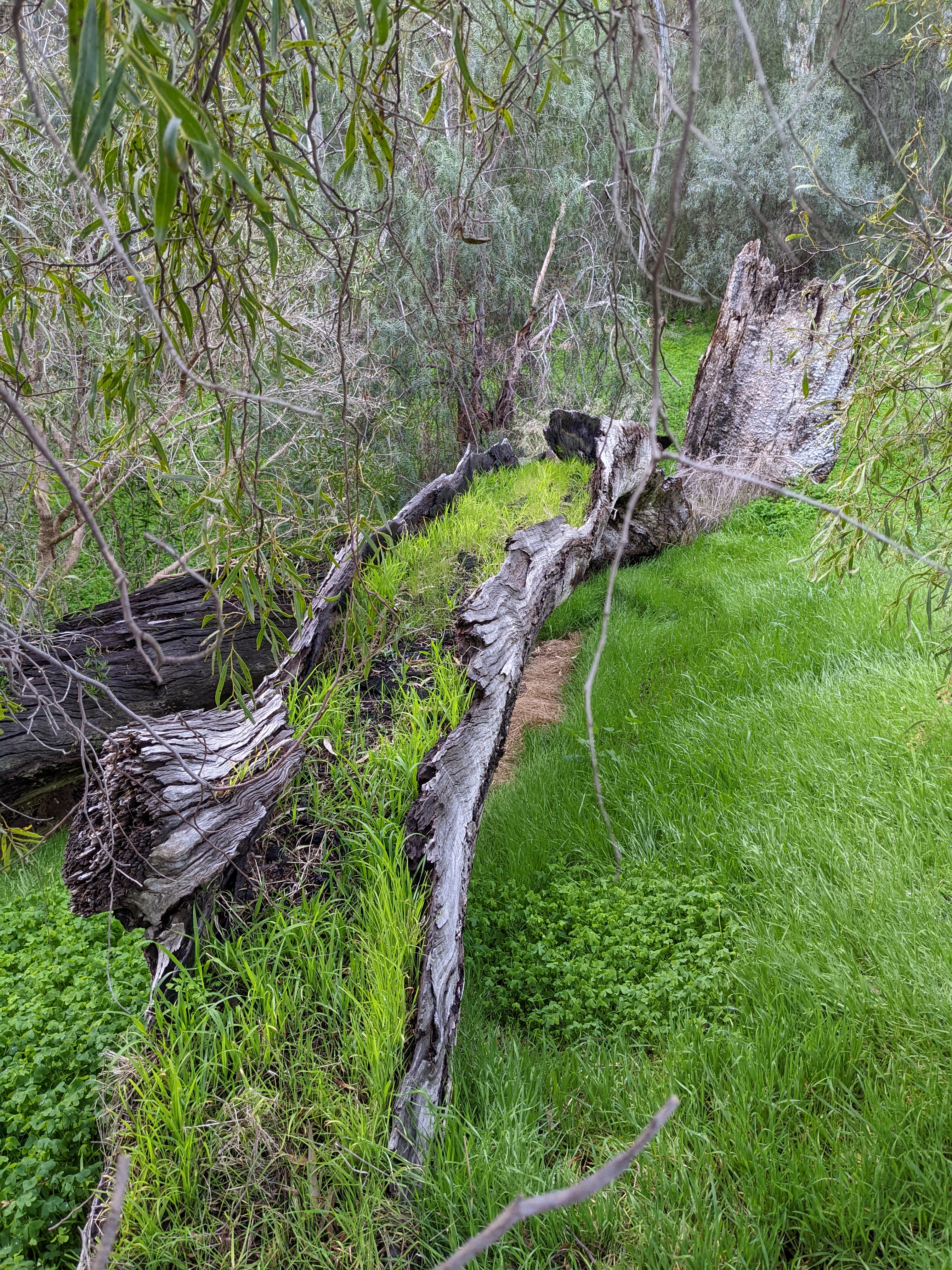
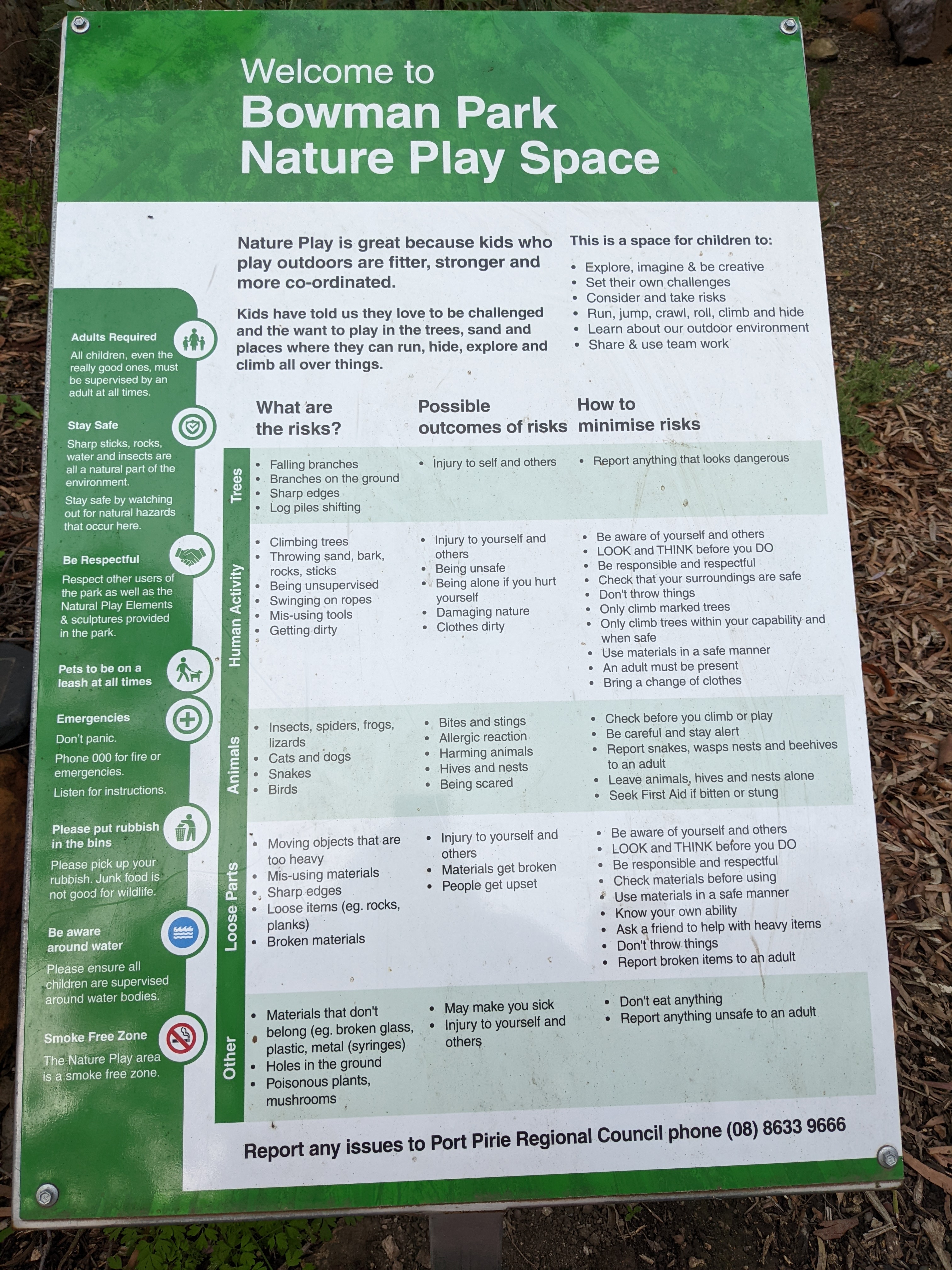
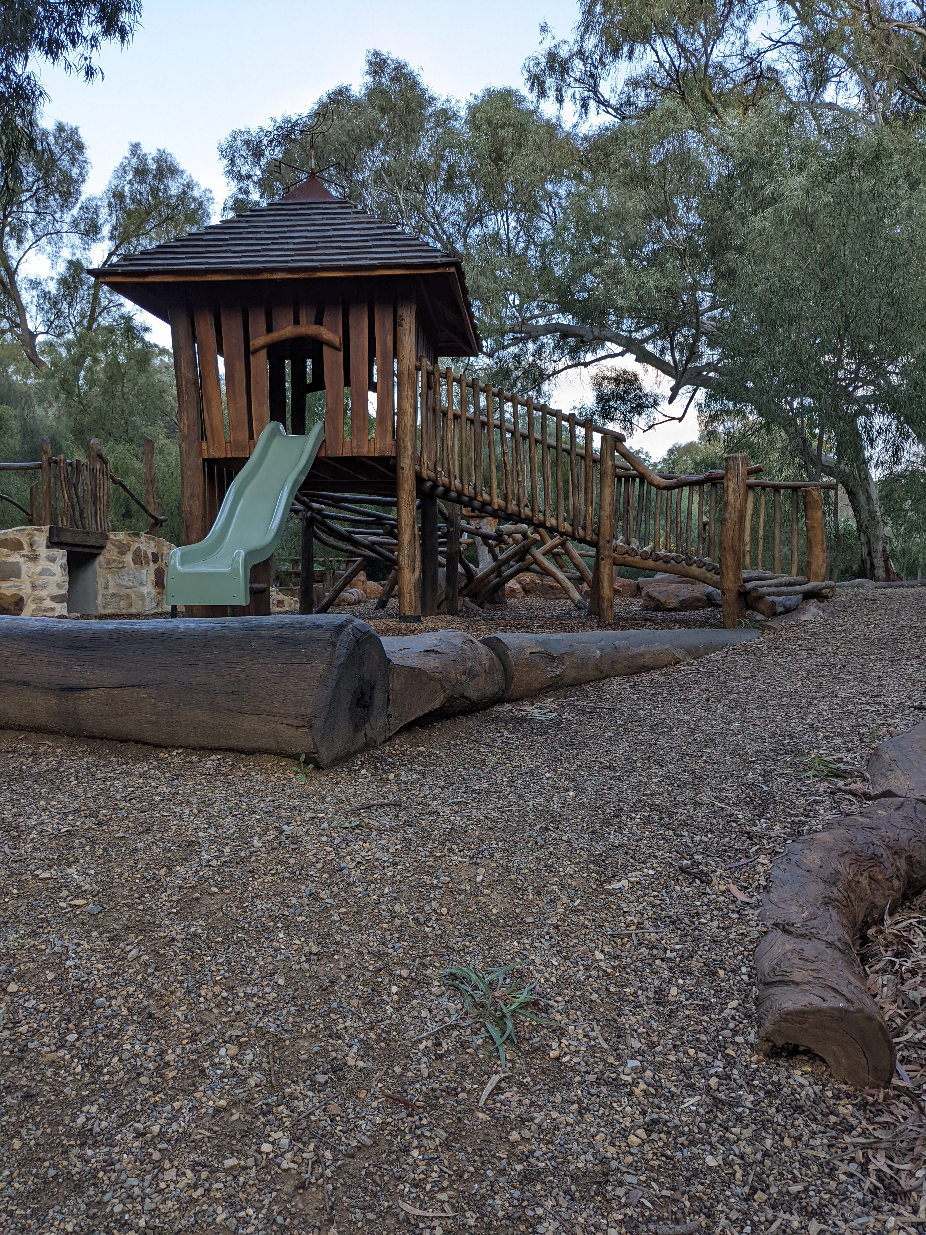
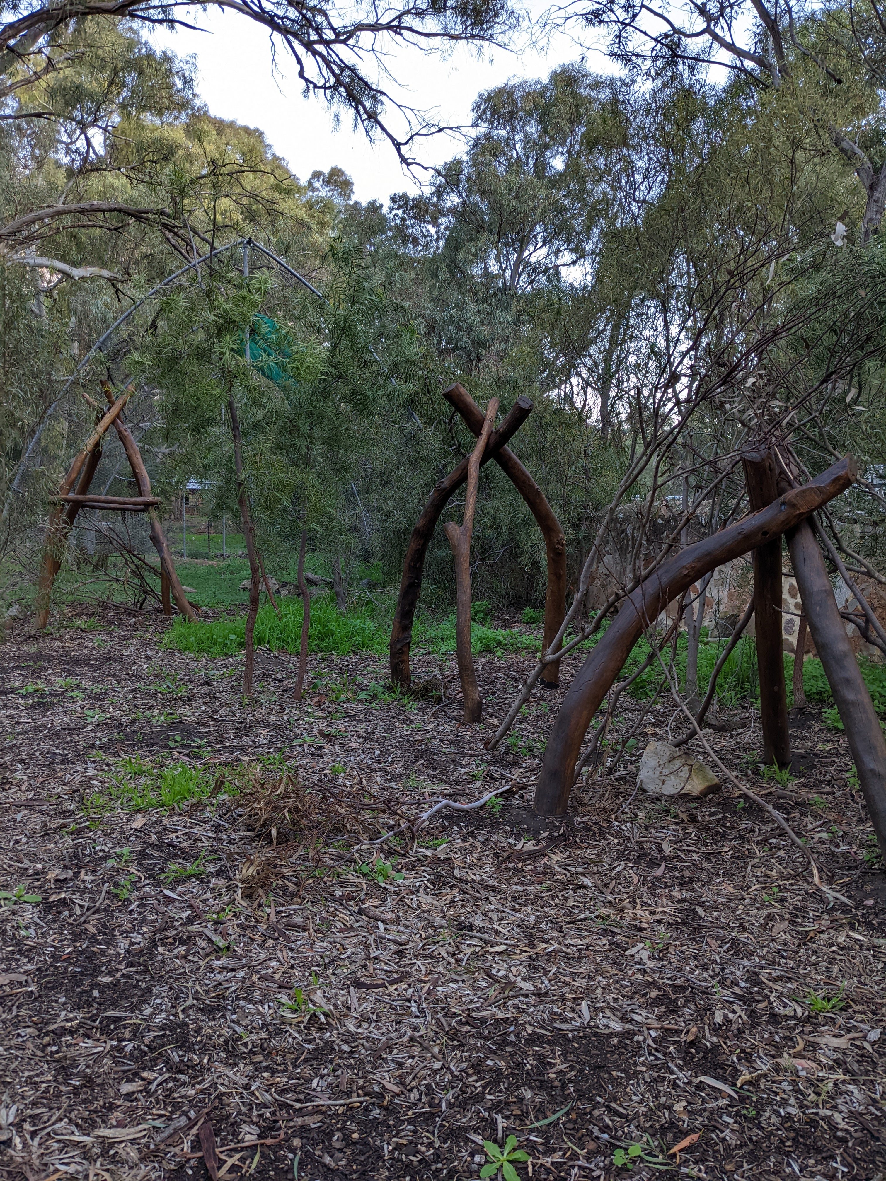
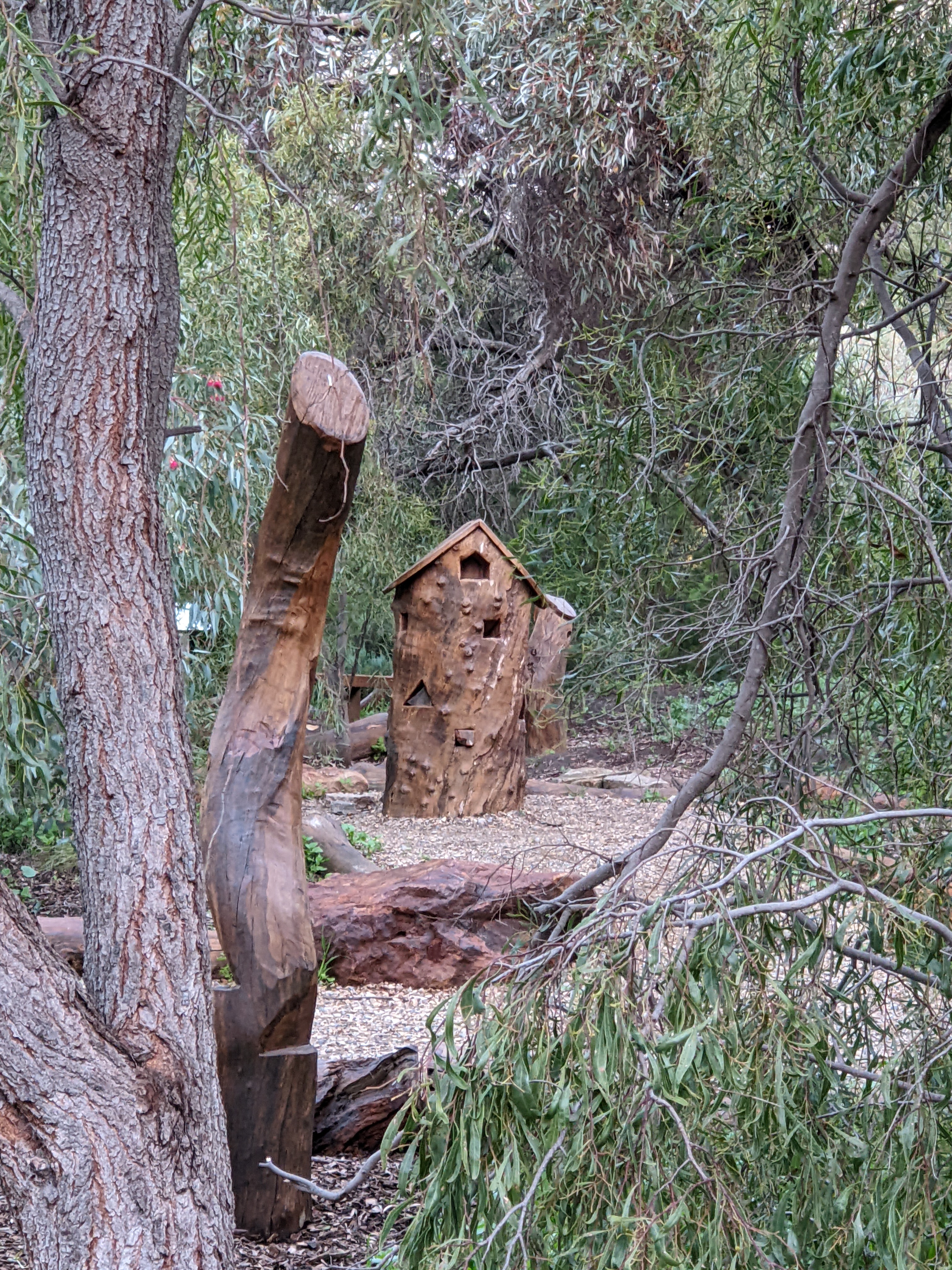
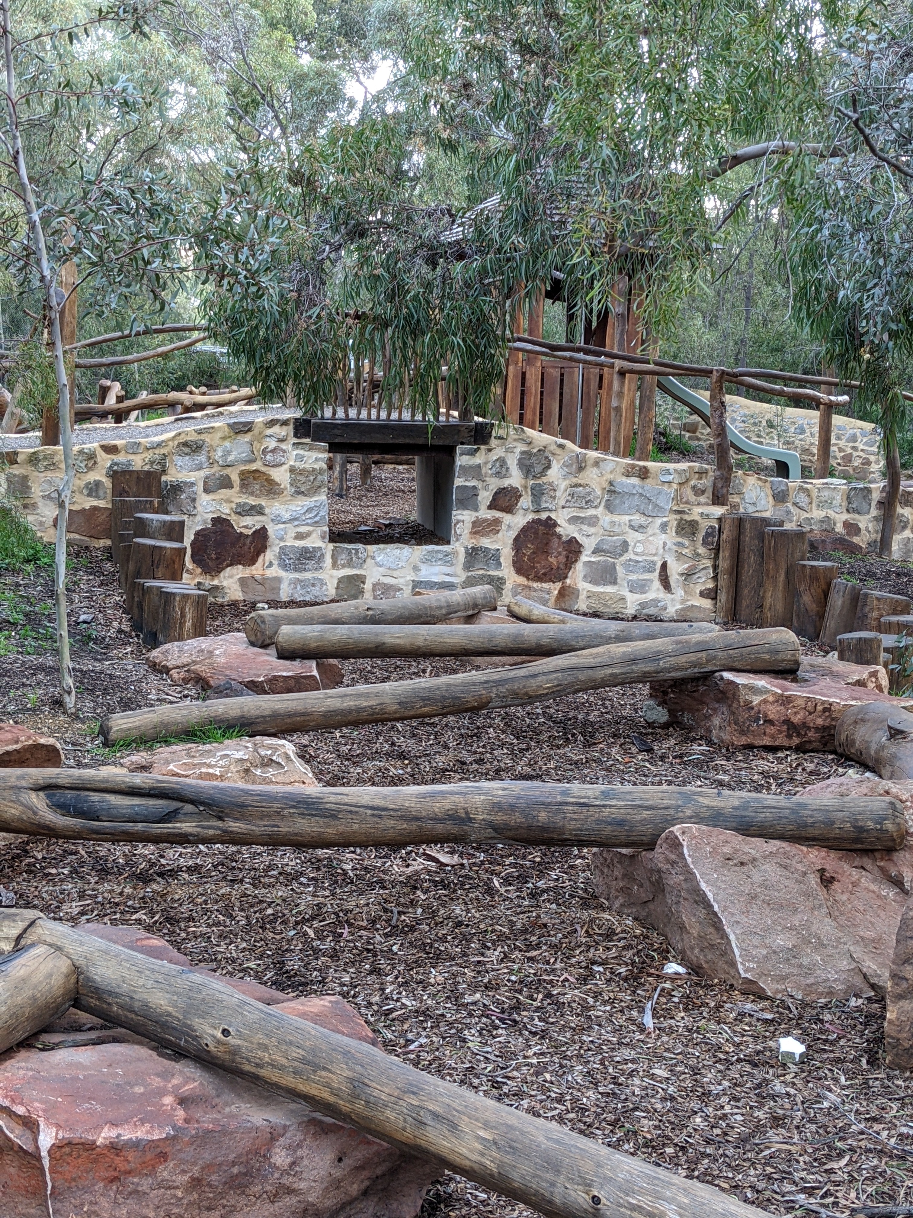
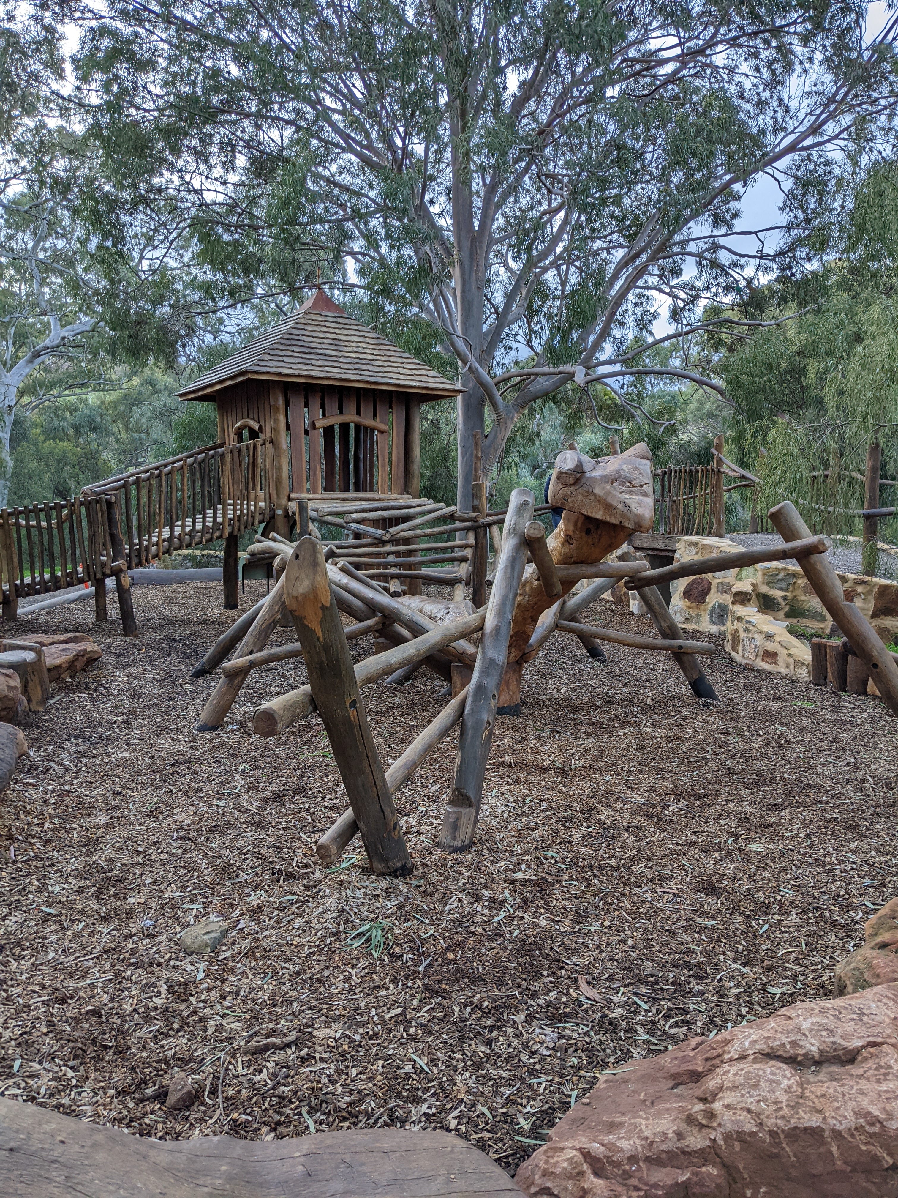
Bowman Park
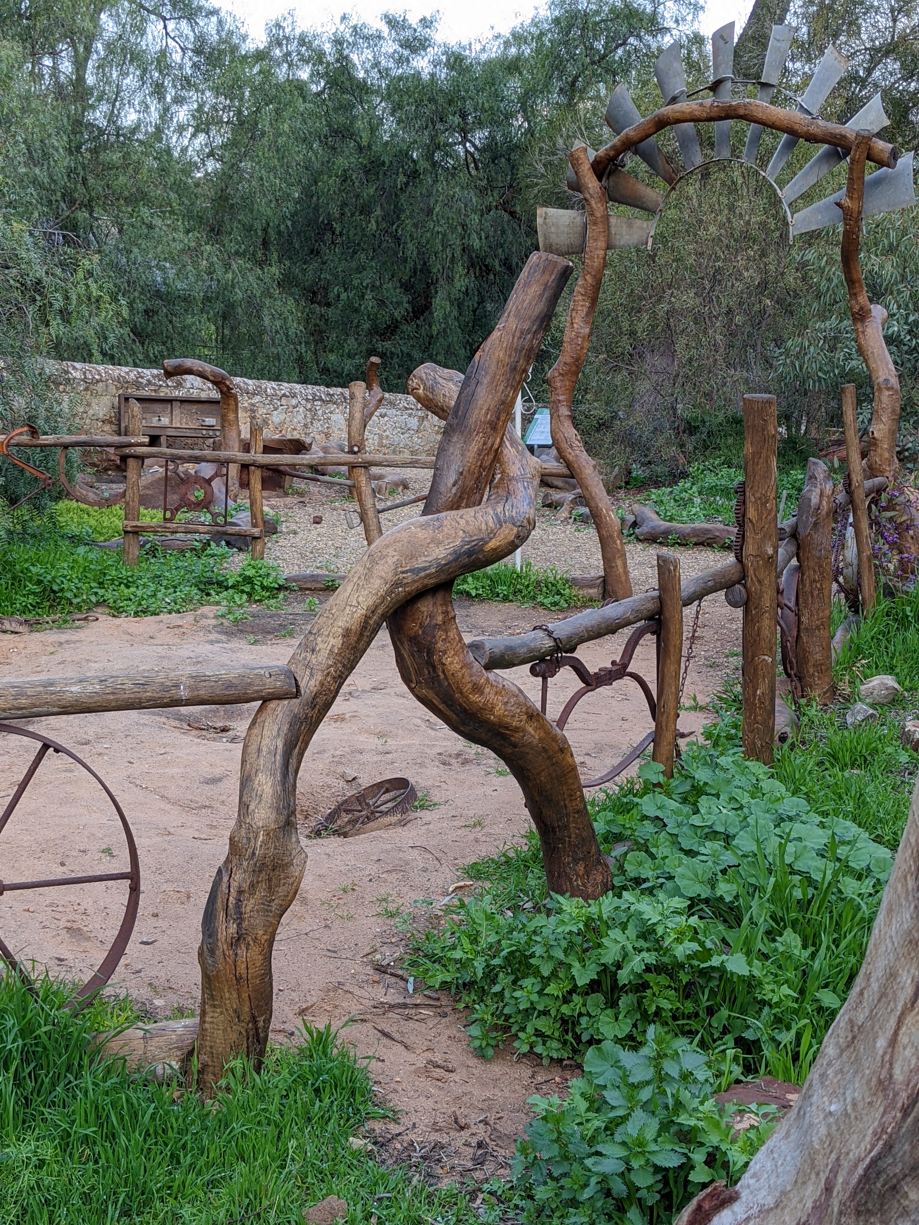
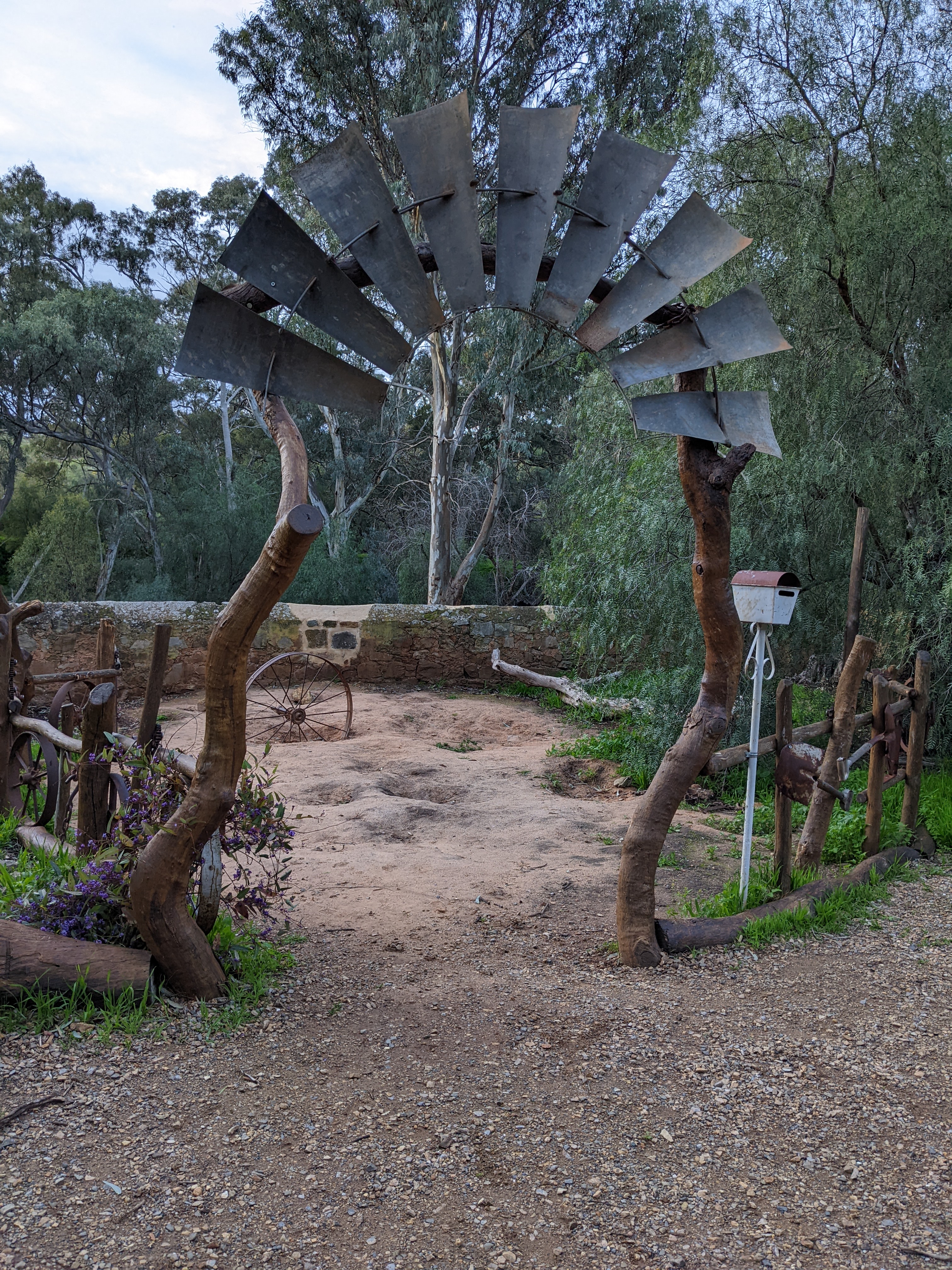
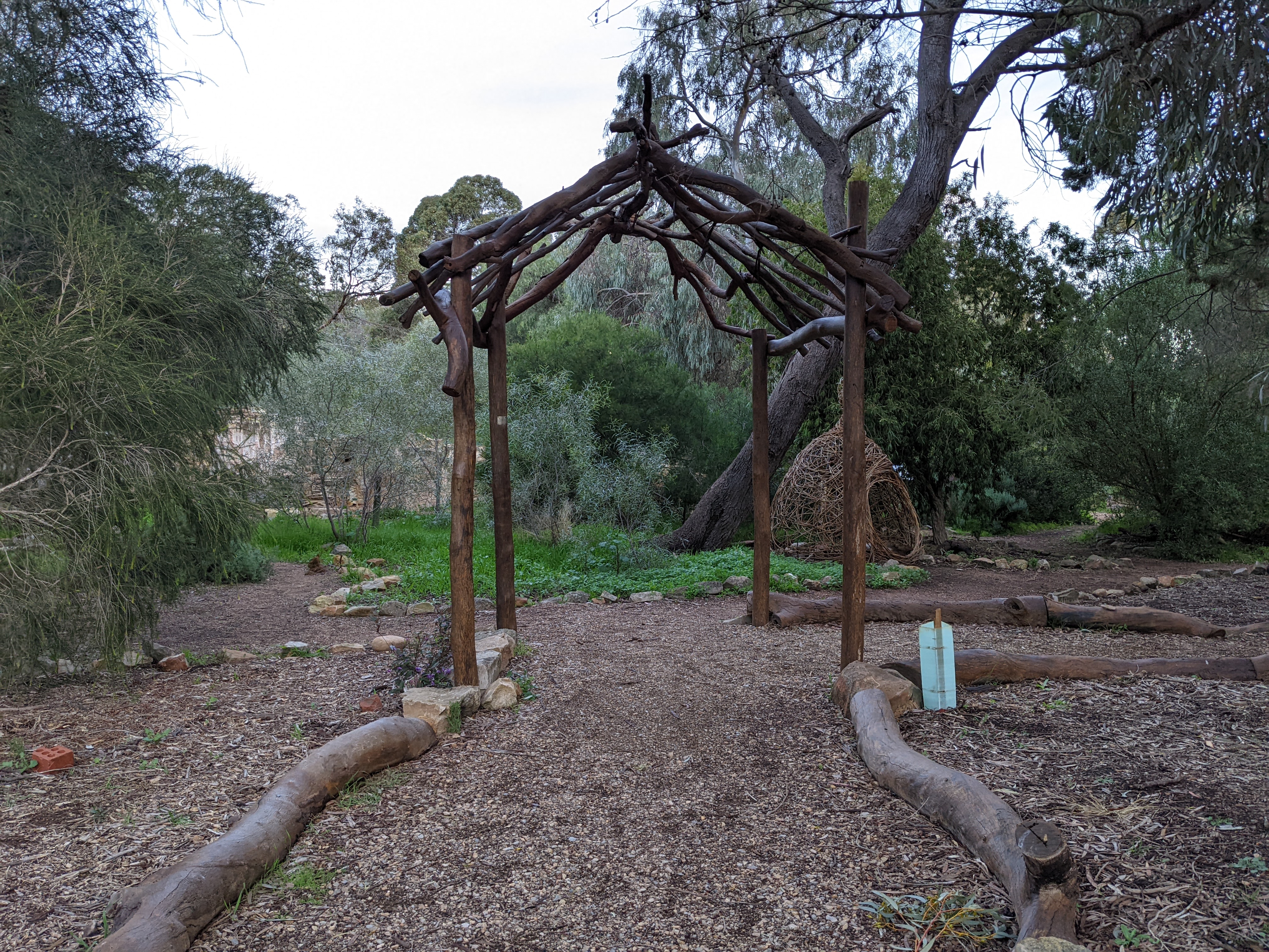
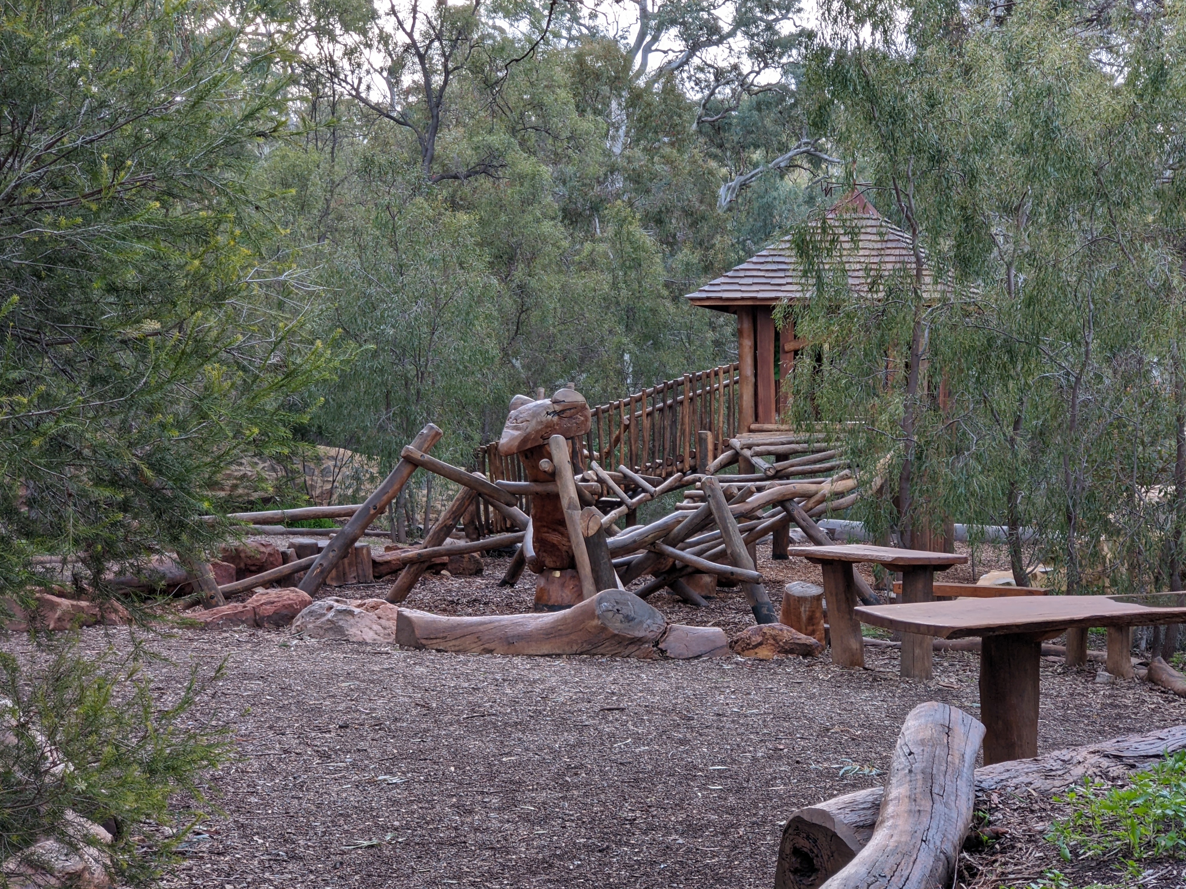
Bowman Park at Crystal Brook has the best nature play space I’ve ever seen. One of the original buildings is still in place, along with the foundations of the original kitchens. What was the original stone-fenced garden area which provided the fruits and vegetables for the homestead has been transformed into this enormous play space, with many different ‘rooms’.
Rolling Solo is a group for women who travel on their own. I've been a member for a few years now and I love it. There is a private platform which all can access, with an online chat forum, lots of helpful info, and a huge group of women who are so encouraging and supportive of each other. Anyone can put up an event, and events are frequently happening all around the country. Each year there is an annual get together, with hundreds of women coming from all around the country. This year's event was held at Ross River Resort, not far from Alice Springs.
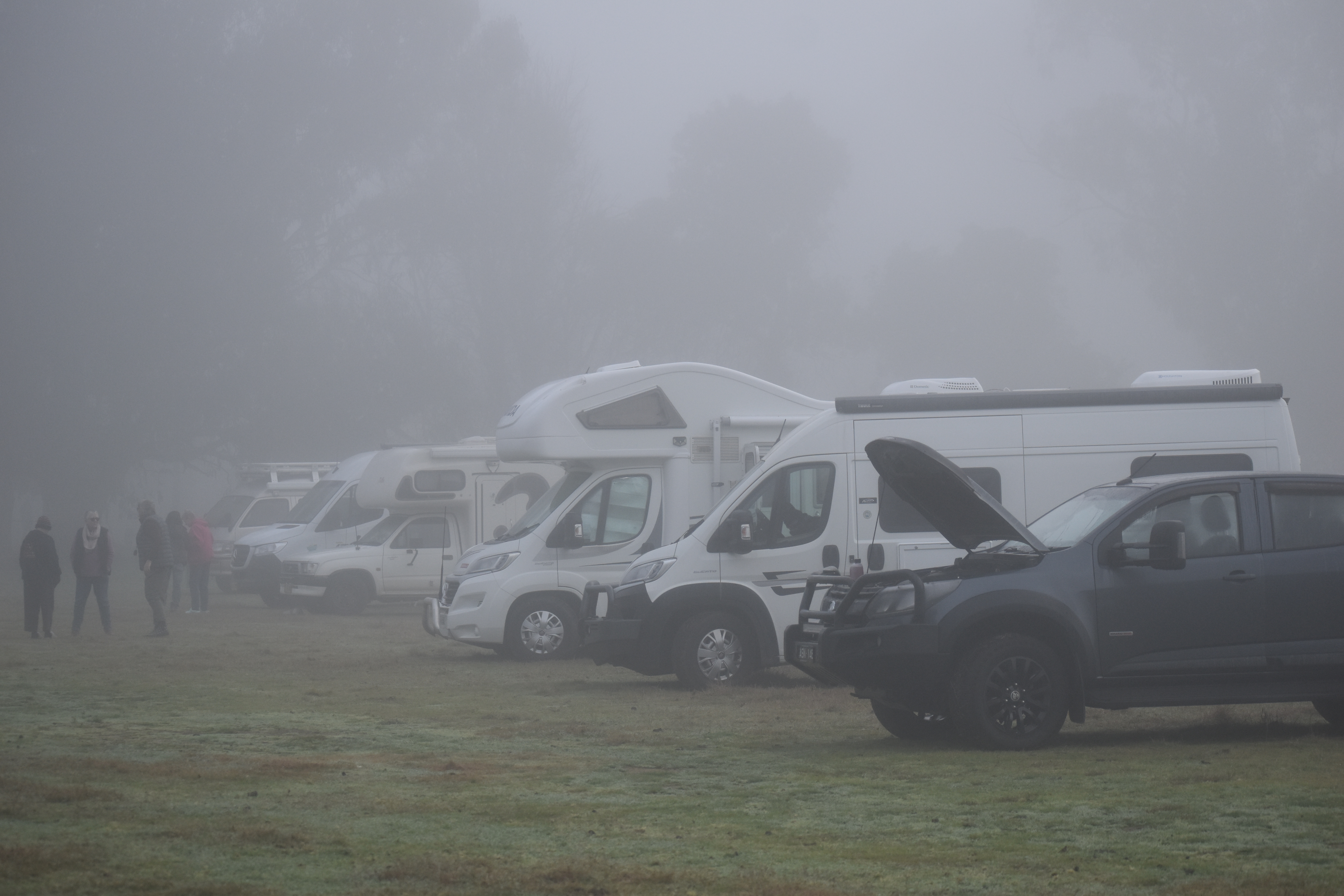
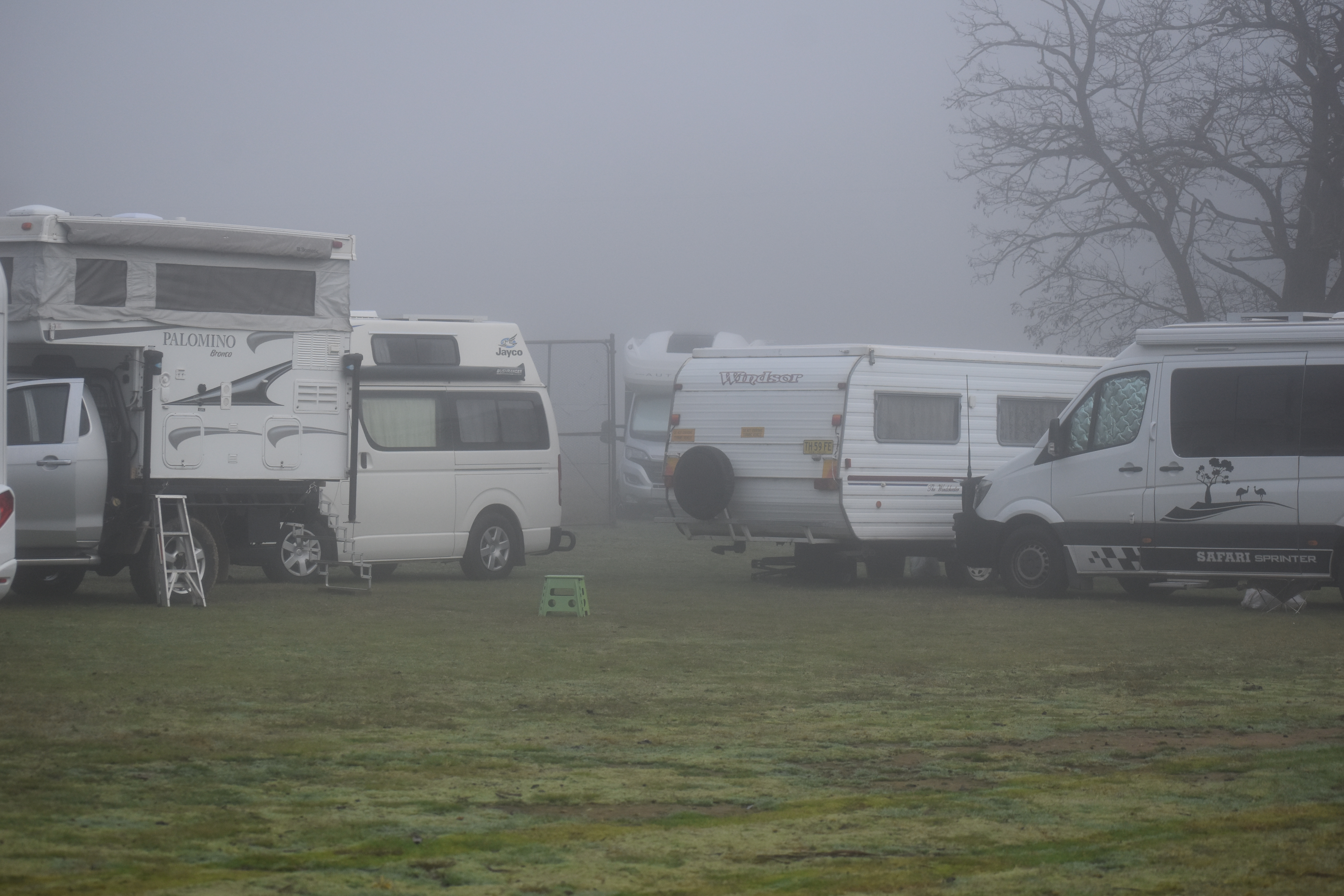
I've been to a few of these events before, but this year I decided to join a tag-along to the event. The first two nights were to be at the donation camp at Jugiong, so the group could get to know each other. Unfortunately the river was in flood, the camp ground was closed, and the few of us who had arrived early spent the night squeezed in at the lookout high on the hill. We then moved on to the free camp at Muttama where we spent a couple of days waiting for all to arrive and getting to know each other. This was to be a group of about 20 women, some seasoned travellers, some on their first trip and some towing for the first time.
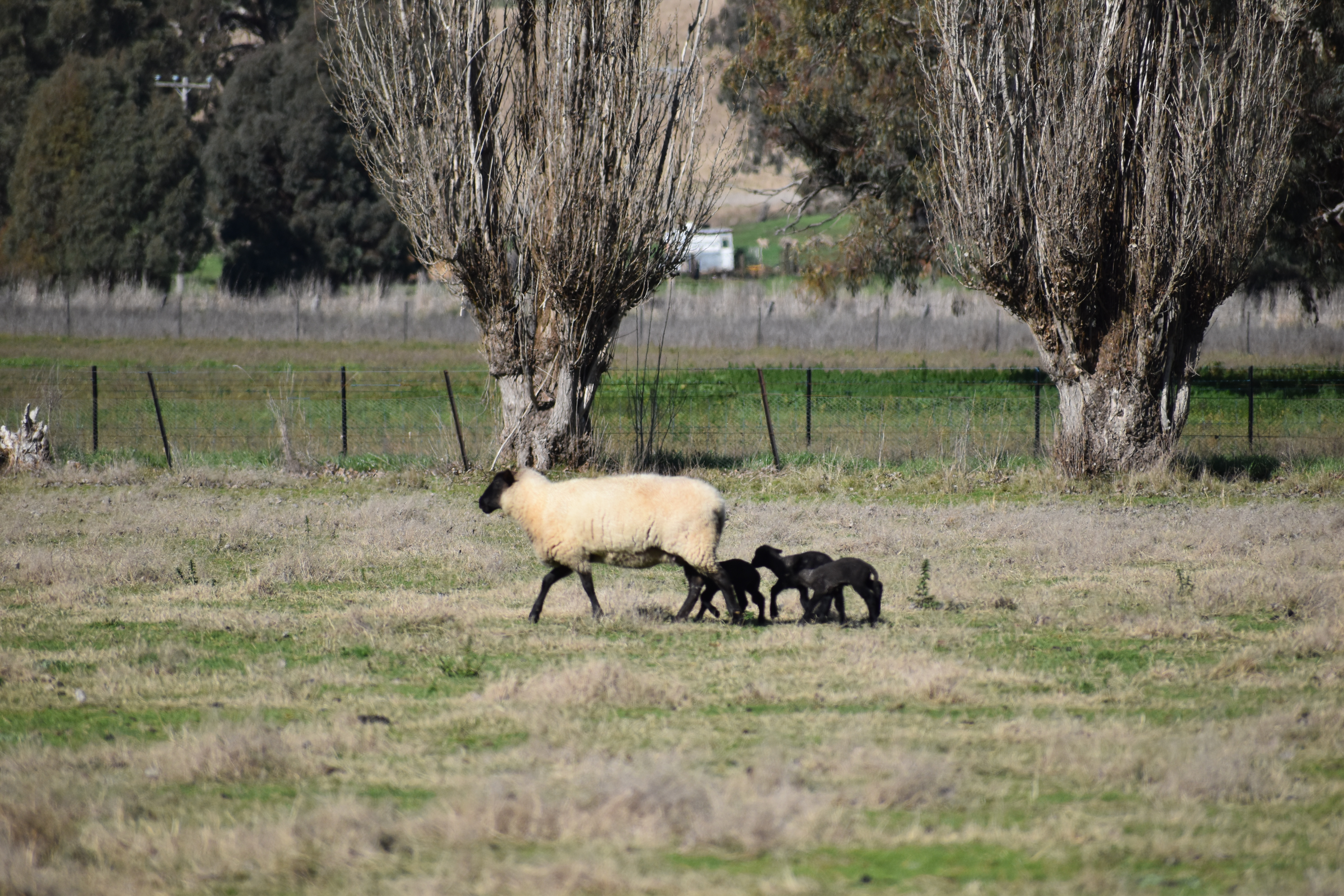
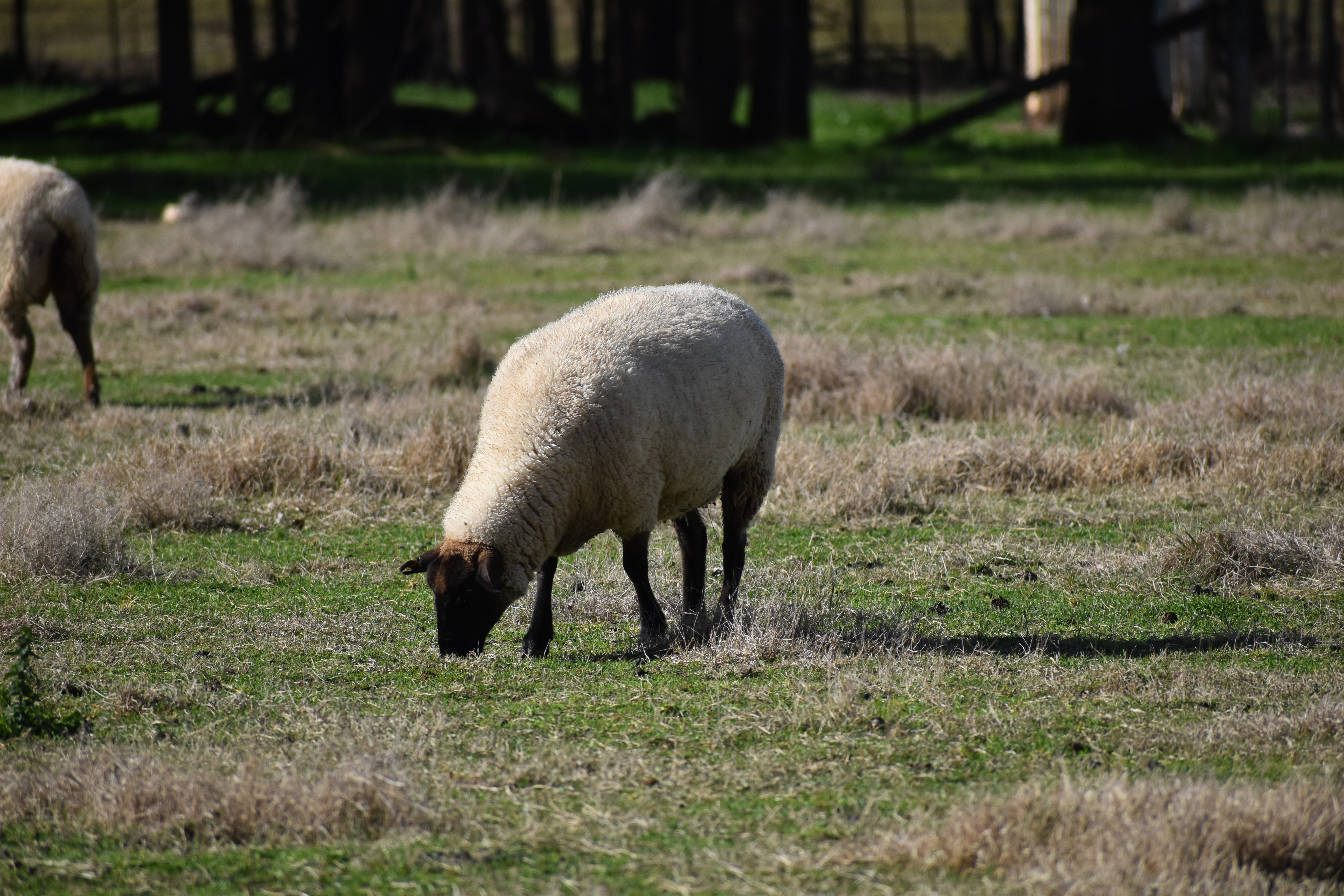
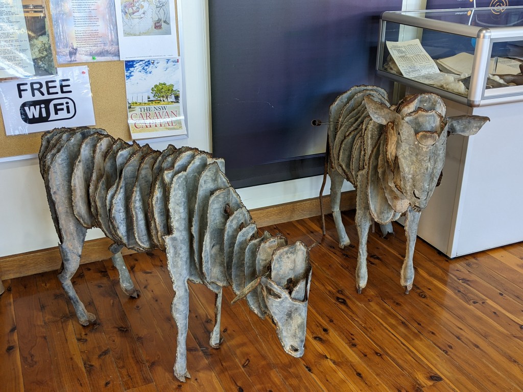
Mist and Baa Baa Black Sheep at Muttama Memorial Park
The next few days of leisurely travel morphed into needing to beat the flooding along the river.  We all had the itinerary our trusty leader Noreen had prepared, and we set off in either small groups or individually and did some sight seeing along the way.  There was a core group of dedicated ladies who were very supportive of the local economies along the way, particularly the bakeries and coffee shops 🙂  Almost every night there was the choice of a caravan park or free camp ( I stayed at the free camp whenever possible)
We headed through Narrandera, Balranald, Mildura.
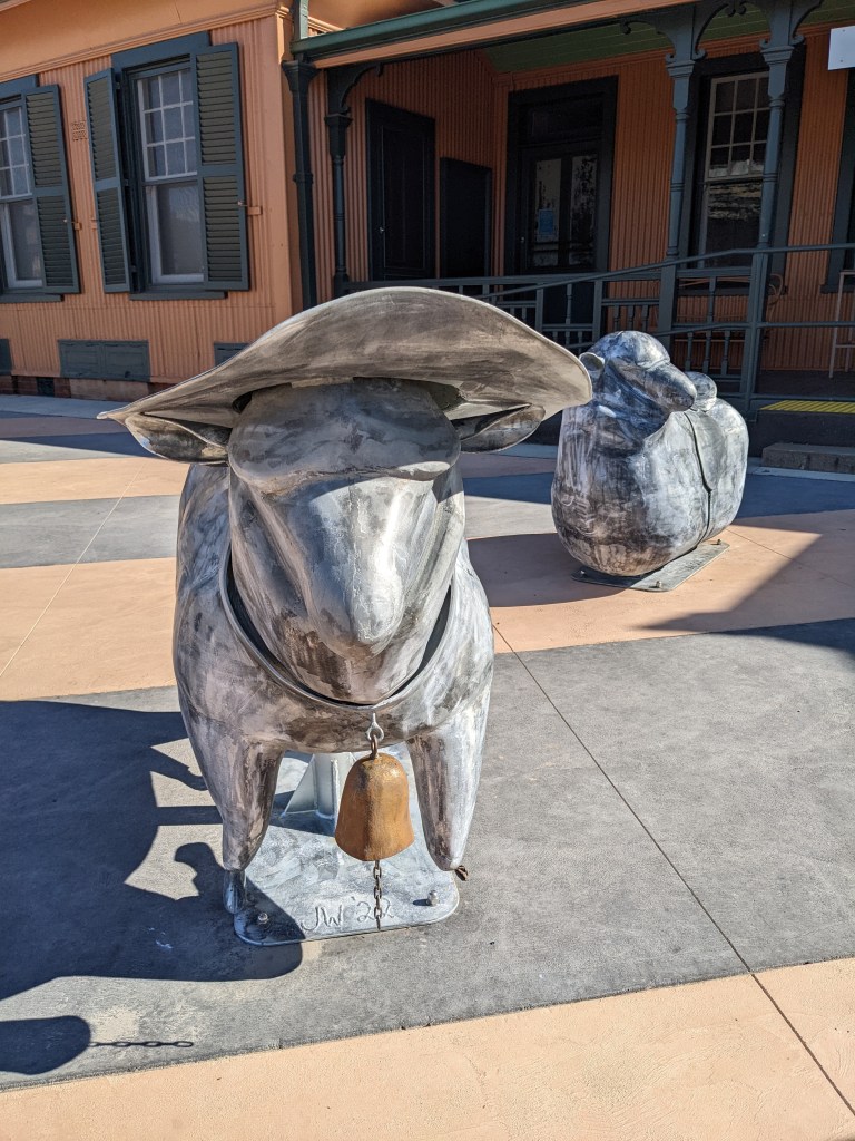
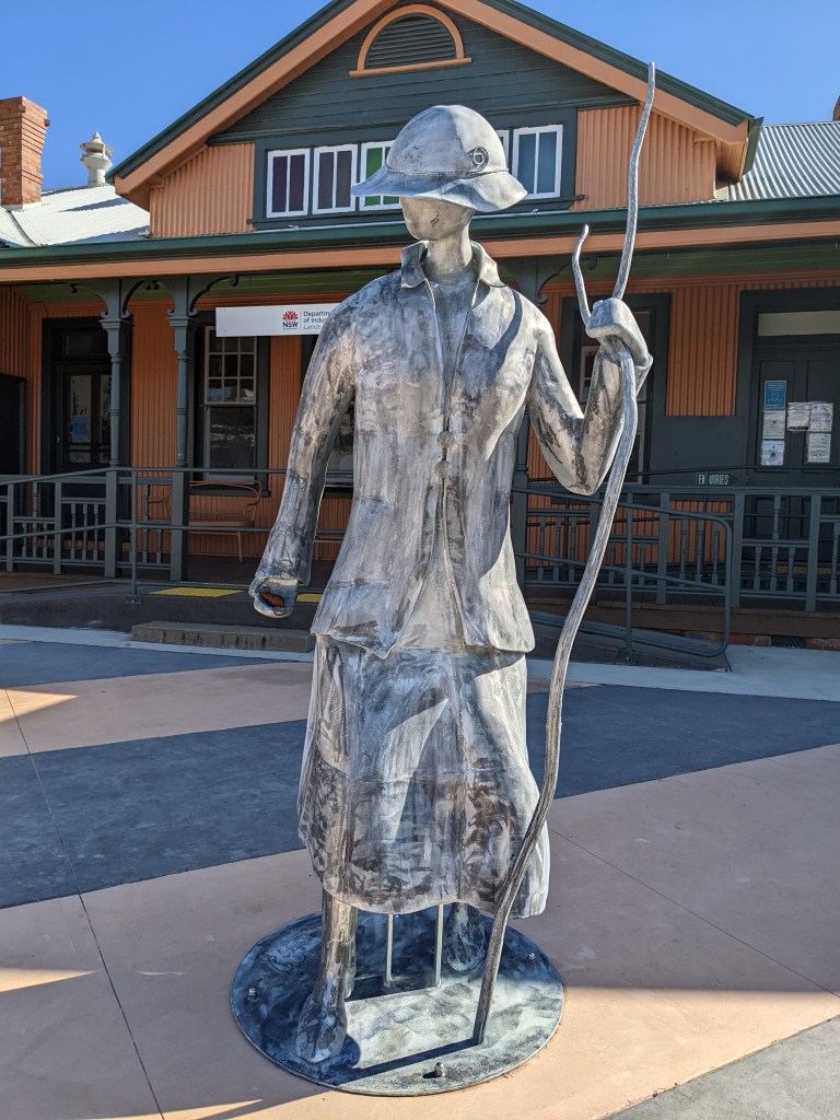
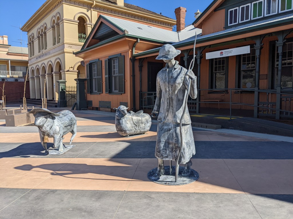
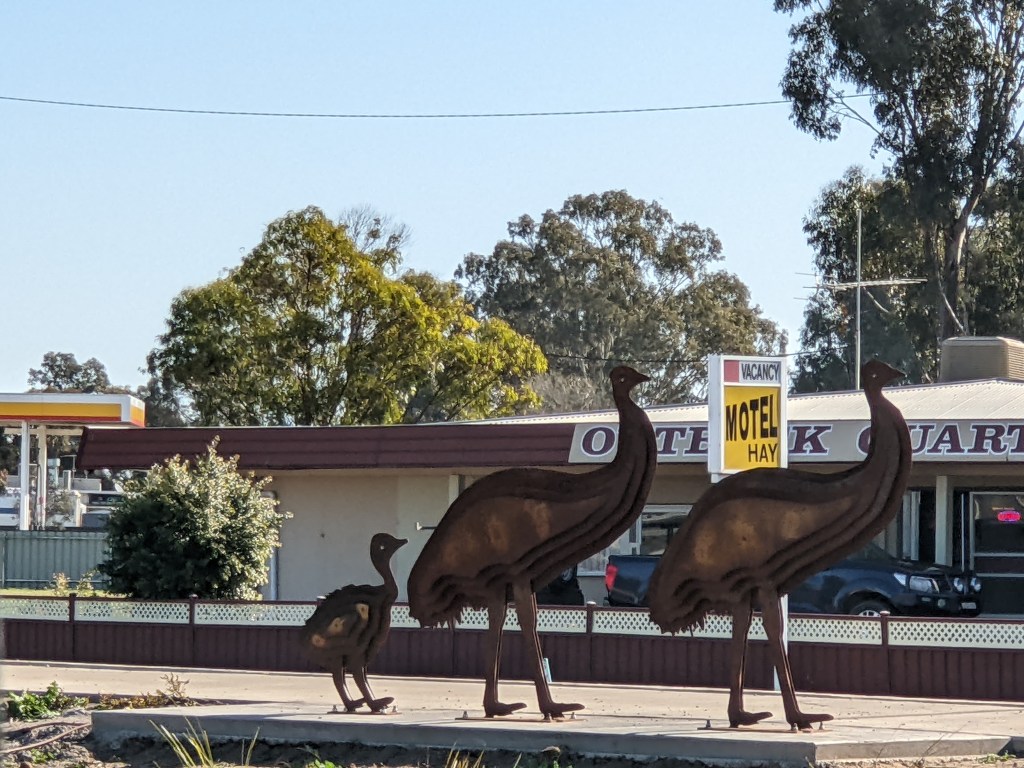
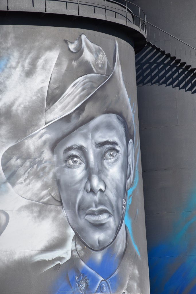
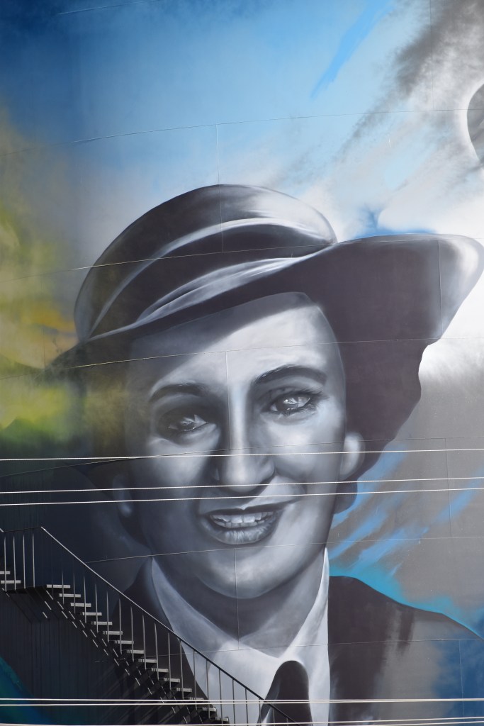
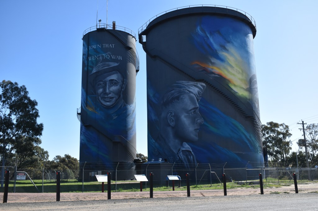
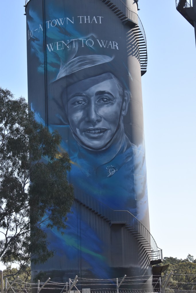
Mrs McGrath and her sheep,Hay
The Hay area is in what is widely regarded as one of the best merino sheep growing areas in Australia. In the 1920s and 1930s the McGrath family were caretakes of the bridge over the Murrumbidgee, which was on a stock droving route.
Mrs McGrath regularly used her mob of pet sheep to lead drover's mobs of up to 10,000 sheep across the bridge. She would carry a bag of stale bread which she rattled to keep her pets interested, and once across the bridge they would stand aside while the drovers continued on with the large mobs.
Mrs McGrath's contribution to the area has been celebrated by the installation of these sculptures in the main street.
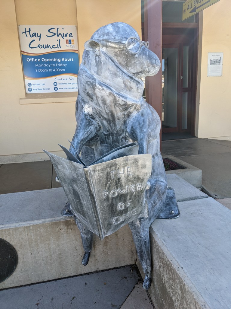
More photos from the Hay area below.
THE WATER TOWERS MEMORIAL AT HAY
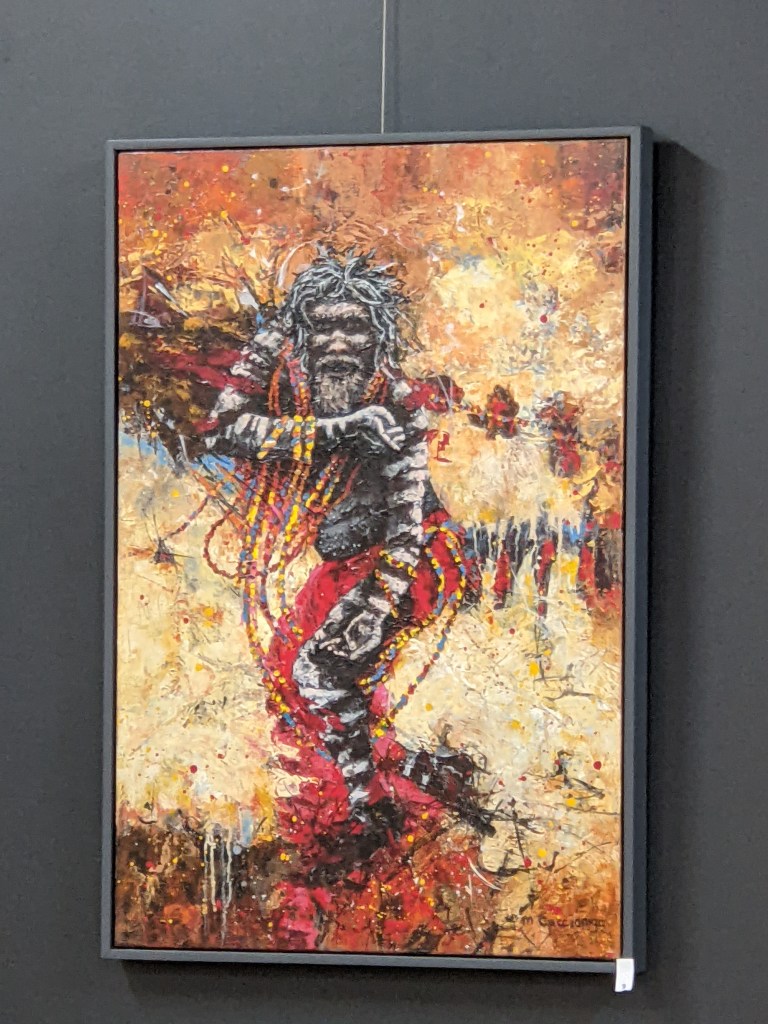
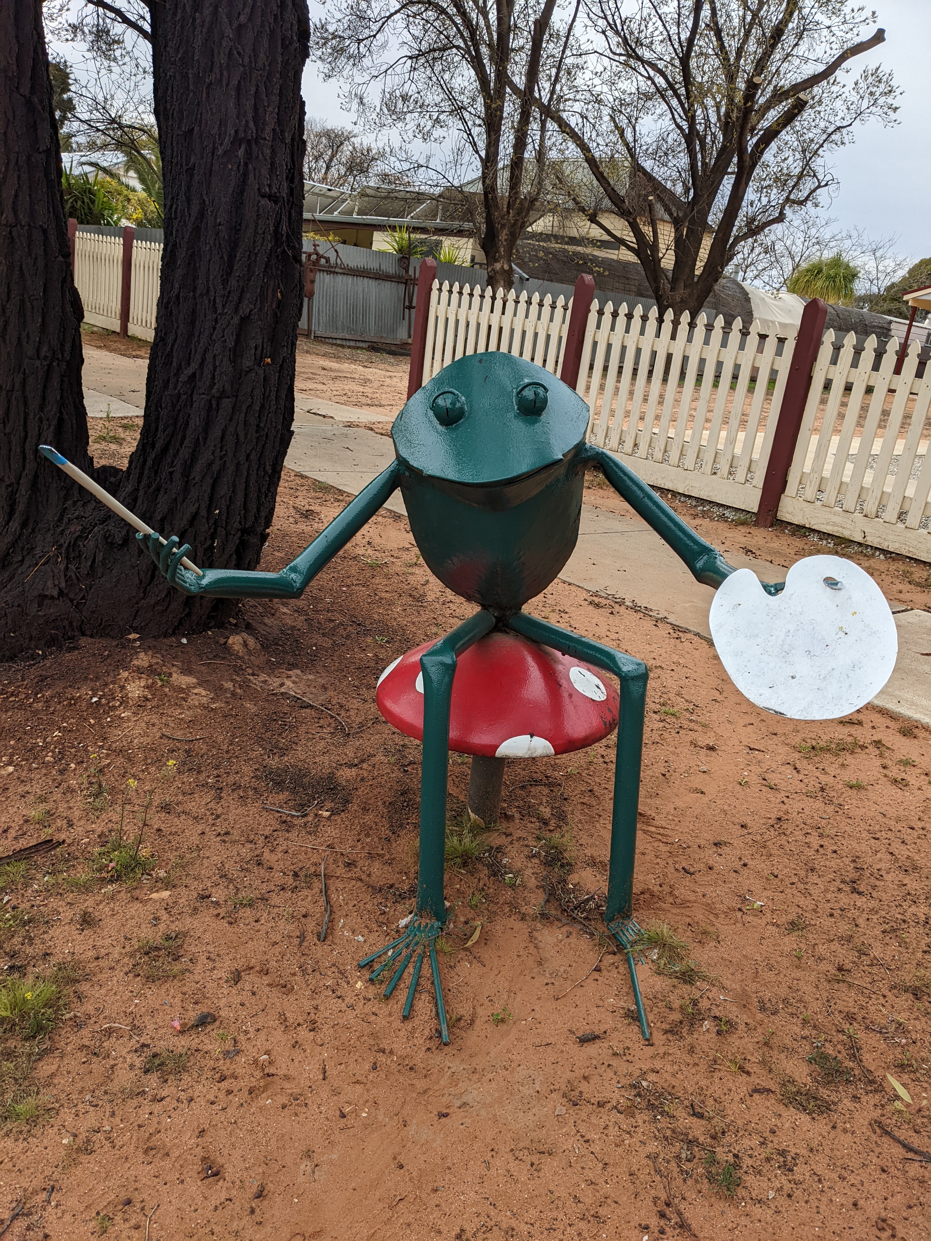
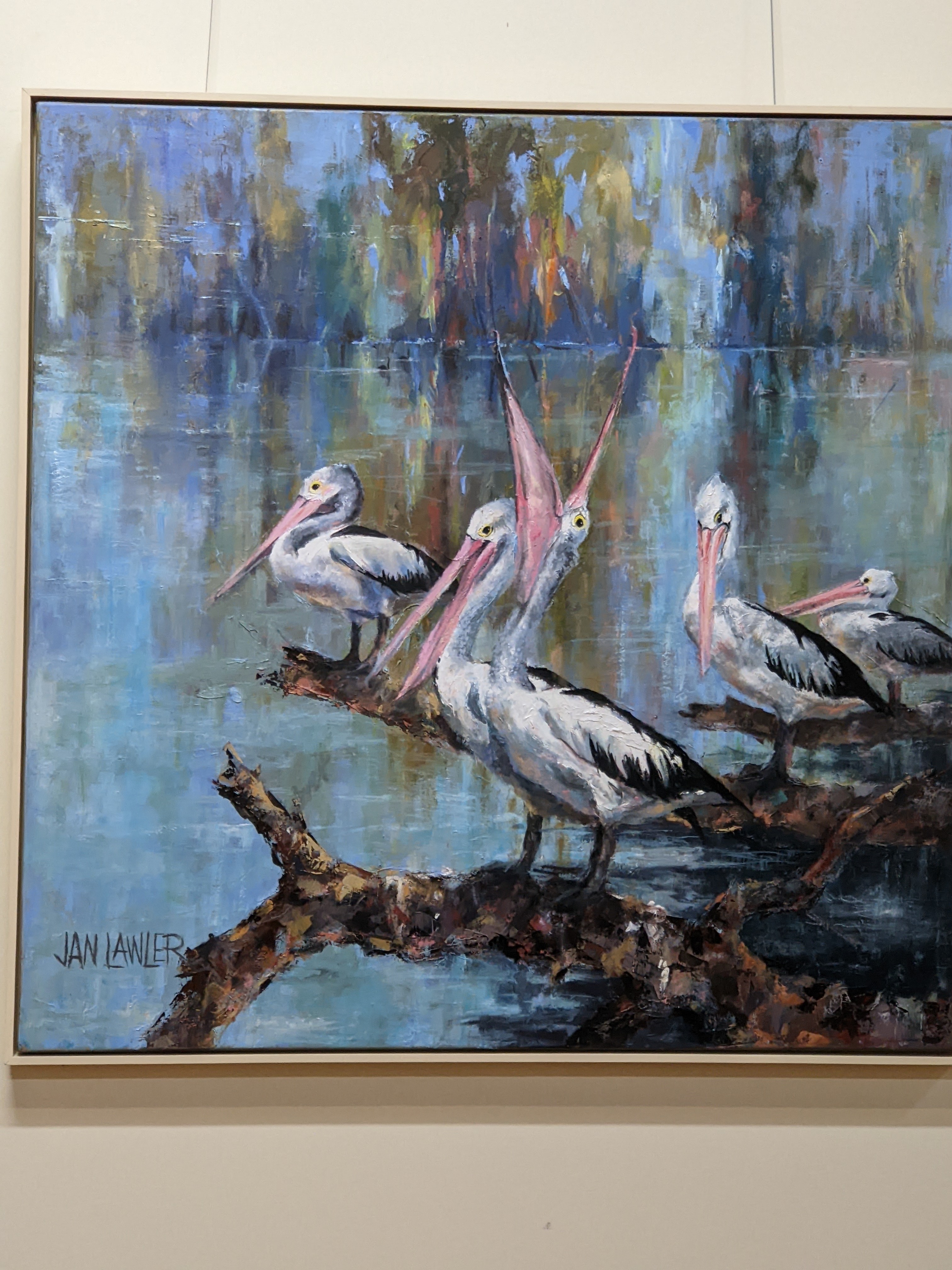
There is also a vey good gallery in town which is well worth a look, along with some art in town.
Those of you who followed my blog on my last long trip will realise that I’m not always very good at following through. My blog last time only lasted half of the trip. And this trip is not that different. I had all sorts of good intentions but I’m now 5 weeks in and about to do my blogs retrospectively. This may be a disaster, but let’s see how we go.
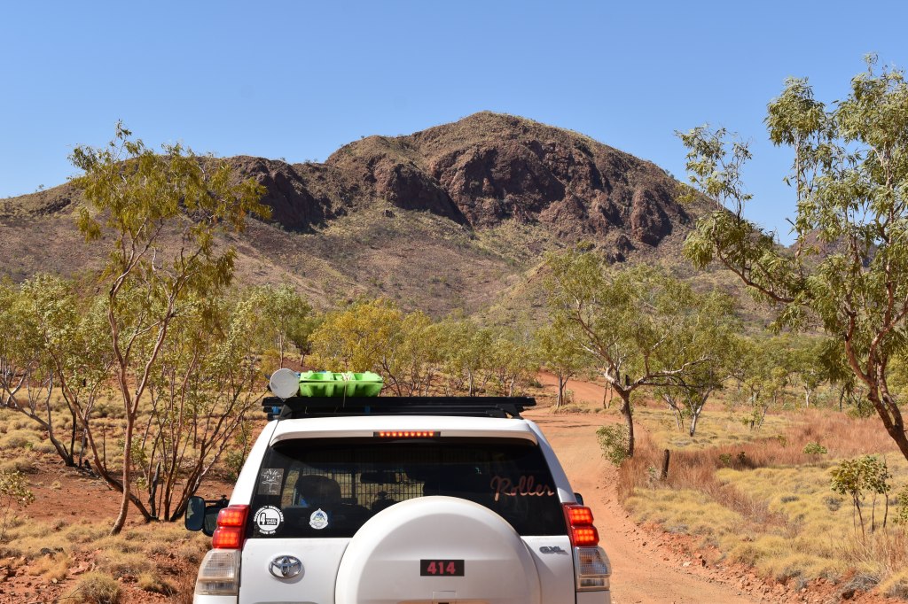
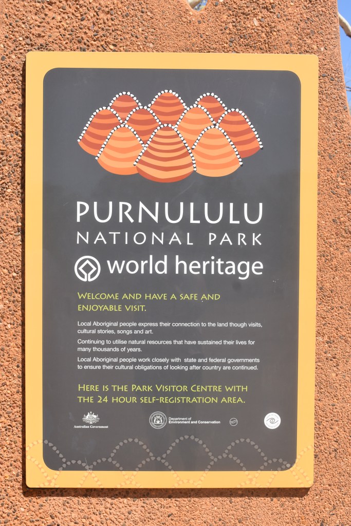
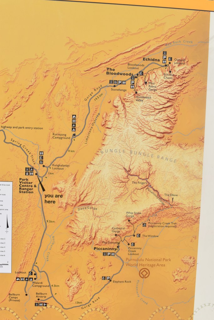
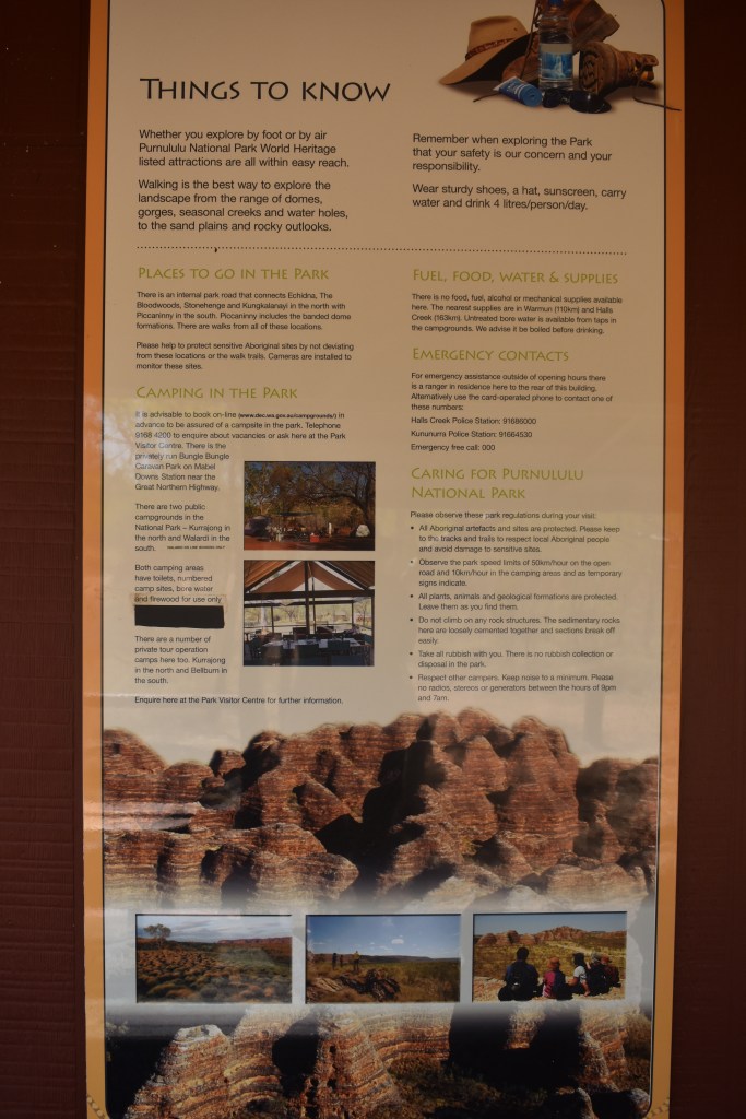
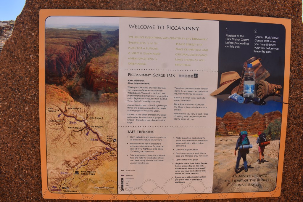
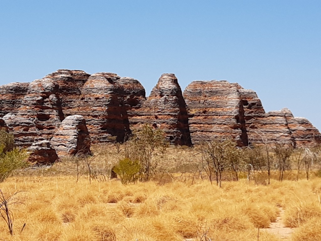
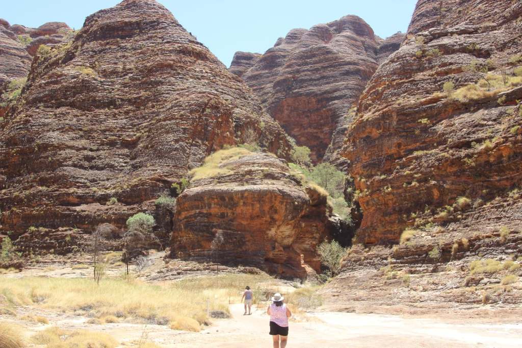
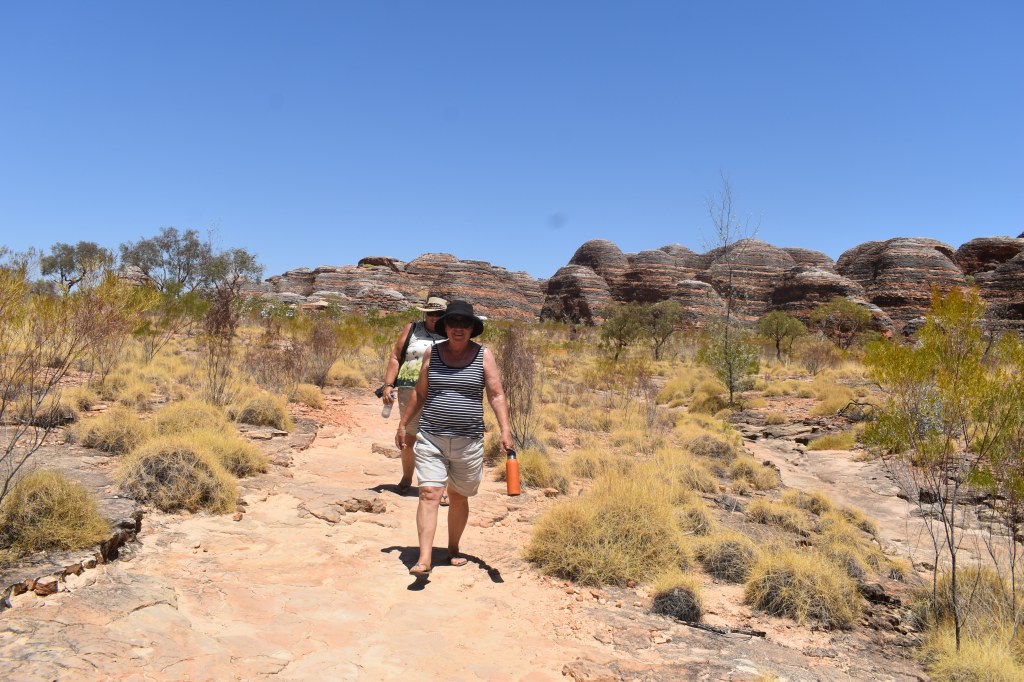
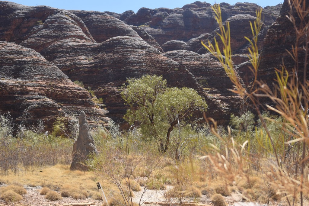
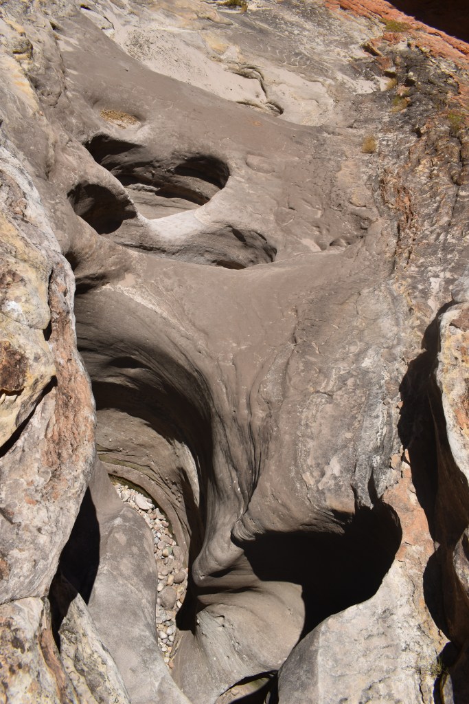
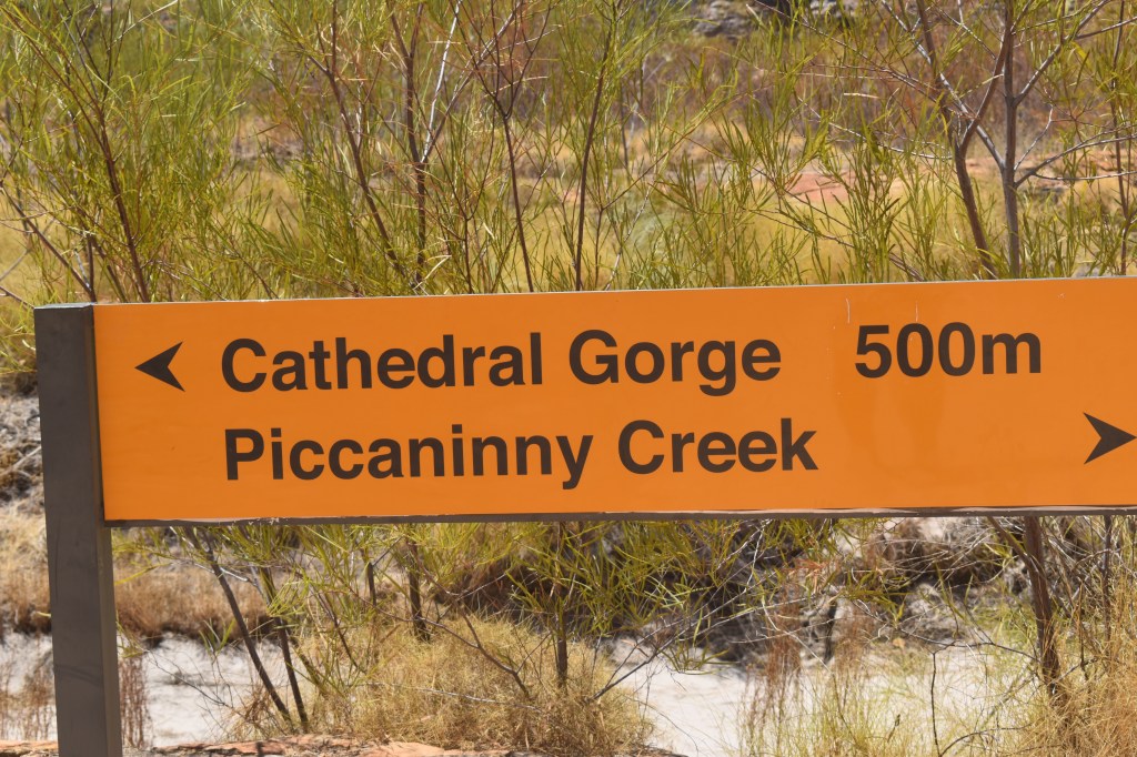
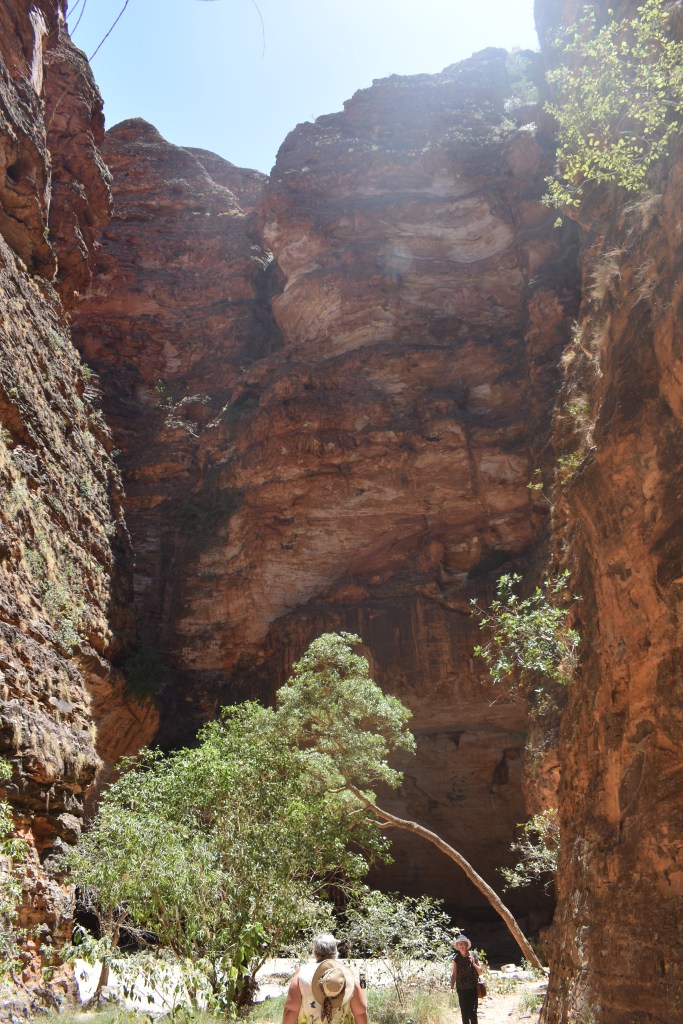
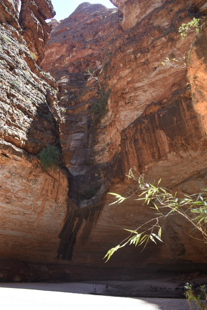
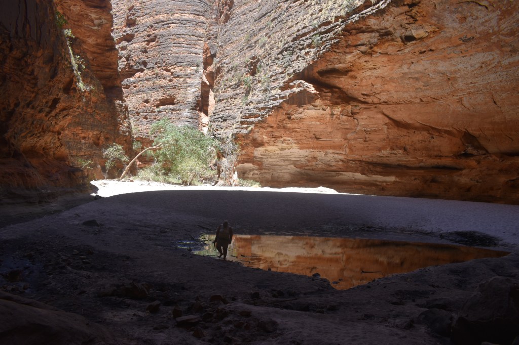
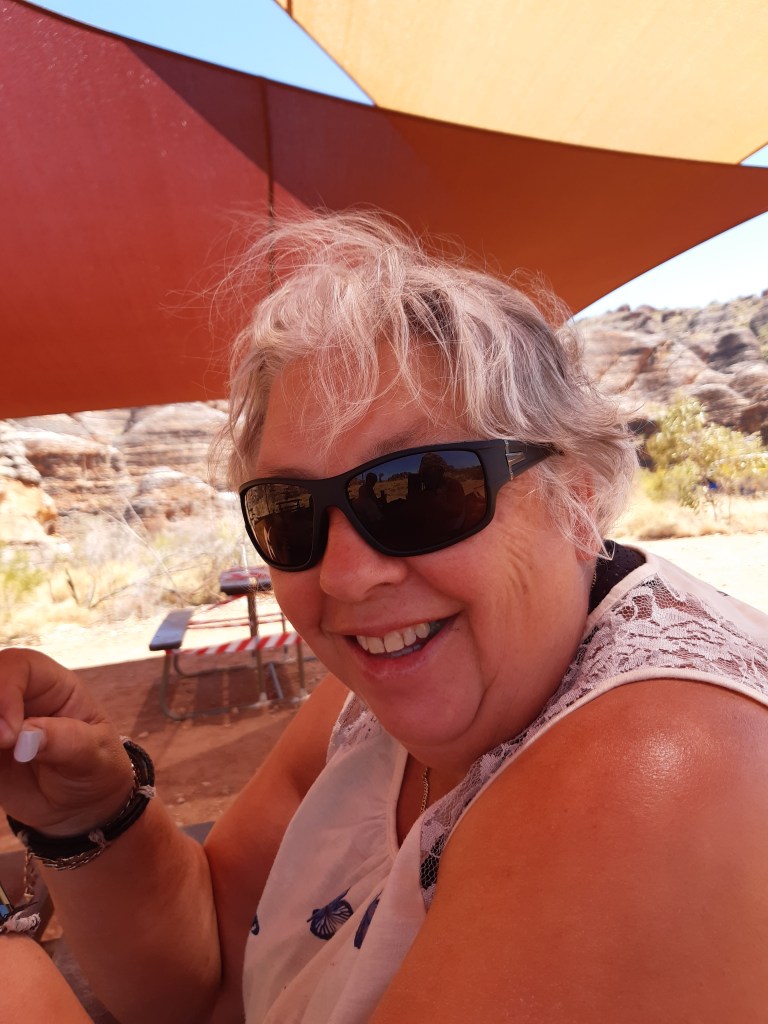
The Bungle Bungles, or Purnululu National Park, is a world heritage park in Western Australia. It is in a remote area, with access into the park being a two to three hour trip by 4WD. At this stage of my trip I was travelling with fellow Rollers Leone, Bev and Sue. We camped in the free camp at the entrance to the park, and Bev, Sue and I set out to visit the park in Bev’s 4WD.
The Prado
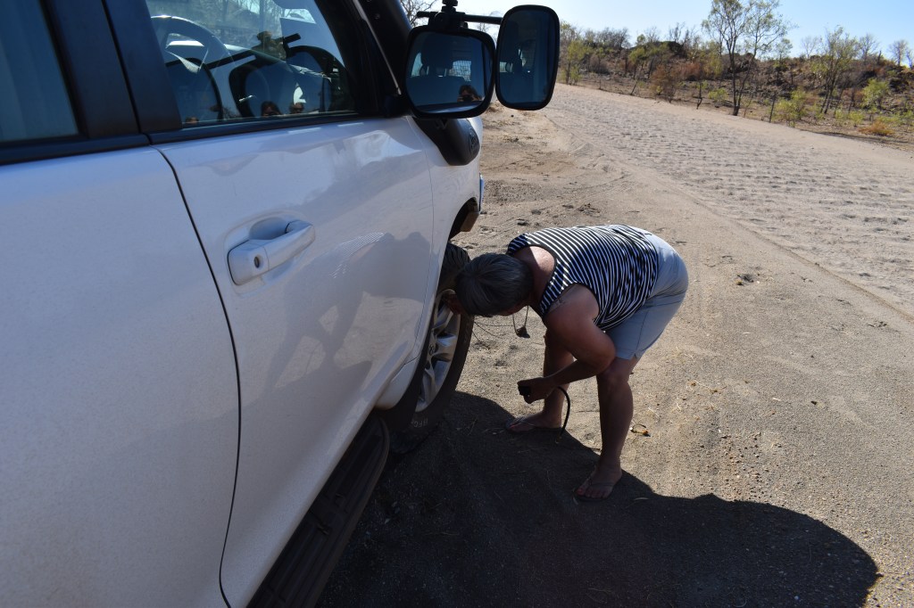
Bev lets the tyres down
The Bungle Bungles are not somewhere to be in summer. – it gets ridiculously hot. The park office was closing for the season the week following our visit as it was already too hot for most trekkers.
Here’s some tips if you are considering visiting. It’s not rocket science, but it’s so easy for things to go wrong.
Tip 1:
If you’re staying outside the park, leave early. 7am is not early, especially as your body clock is still on eastern time and you’re waking up at 4.30am every morning! By the time you drive in, including time to let your tyres down and time spent at the visitor centre, it will be midday before you get to see anything. And by then it’s mega hot with no shade. Try to enter the park by 5am.
Tip 2:
It’s hot. Even at 7am. And yes, it’s too hot to put your walking shoes on, especially as you have a three hour car trip ahead of you. BUT DO IT ANYWAY! The three people on this trip will all attest to the fact that hiking on hot sand in thongs is not optimal, and sturdy shoes set aside for the trip but left at camp aren’t helpful!
Tip 3:
Three to four litres of water per person per day is recommended – but I’d recommend more. I drank two litres of water in the car on the way in…
Tip 4:
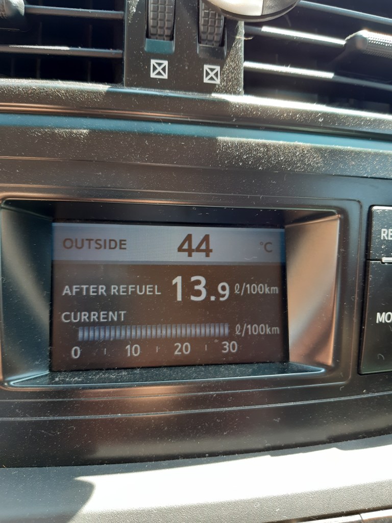
When the forecast is for 39 degrees, remember that where you’re going is mostly sand and rock. And sand and rock store and reflect heat. The outside temperature was 44 degrees when we got back to the car. It is hard work just functioning in that heat, let along walking a couple of kilometres up and down on sand and rock with no shade.
Tip 5:
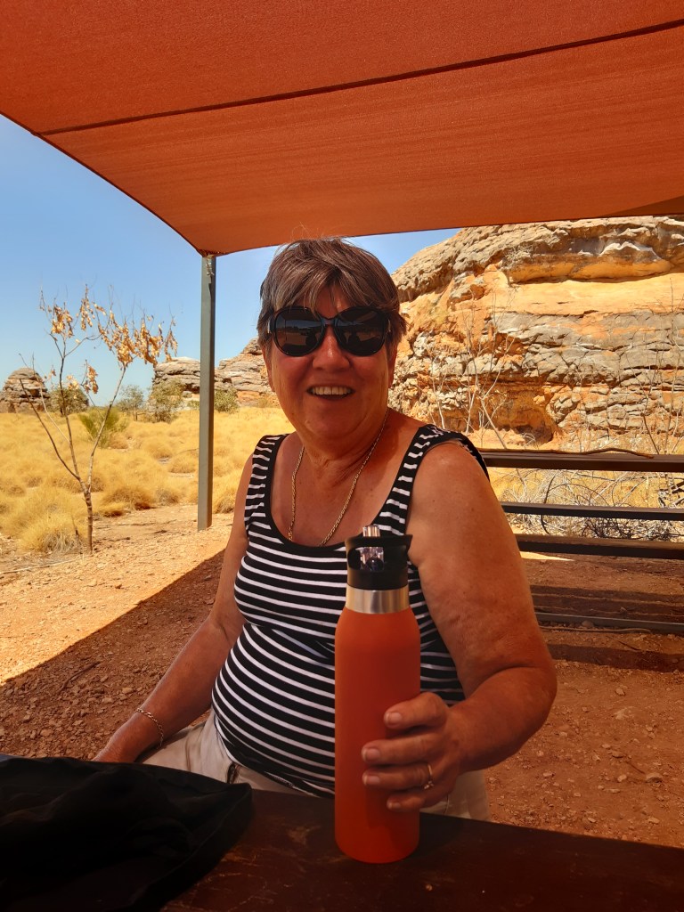
Don’t leave a water bottle as an incentive to make it back to a certain point (Sue!). The water will be too hot to drink by then, and you’ll surely need it sooner! 🙂
Tip 6:
I contemplated this problem at the time and investigated the facts later. Yes, it IS possible to do CPR with your foot. Thankfully I didn’t need to perform CPR, but it was such hard going that I was worried about how I would manage if it were needed. Because I had nothing left in the tank…
Tip 7:
It’s OK not to see everything. In fact, it’s OK to do one 2km walk and then head out of there. And live to come back another day. Preferably in winter!!
Me on the way inBev and SueCathedral GorgeBev afterwardsSue afterwards44 degrees is bloody hot!!
After you cross into Western Australia the first point of interest is Lake Argyle. This man made lake is Australia’s largest fresh water lake, and if full to capacity would hold more than 70 times the volume in Sydney Harbour. Water from Lake Argyle forms part of the Ord River irrigation scheme, providing irrigation for crops. As I visited this area in 2003 I skipped it this time and moved straight on to Kununurra.
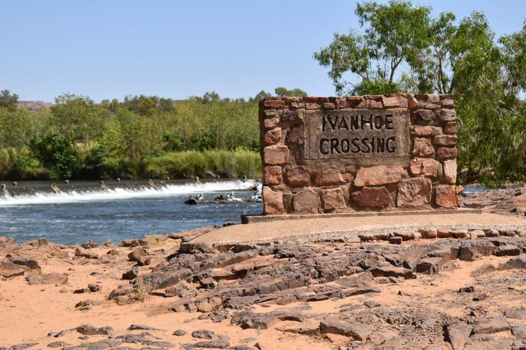
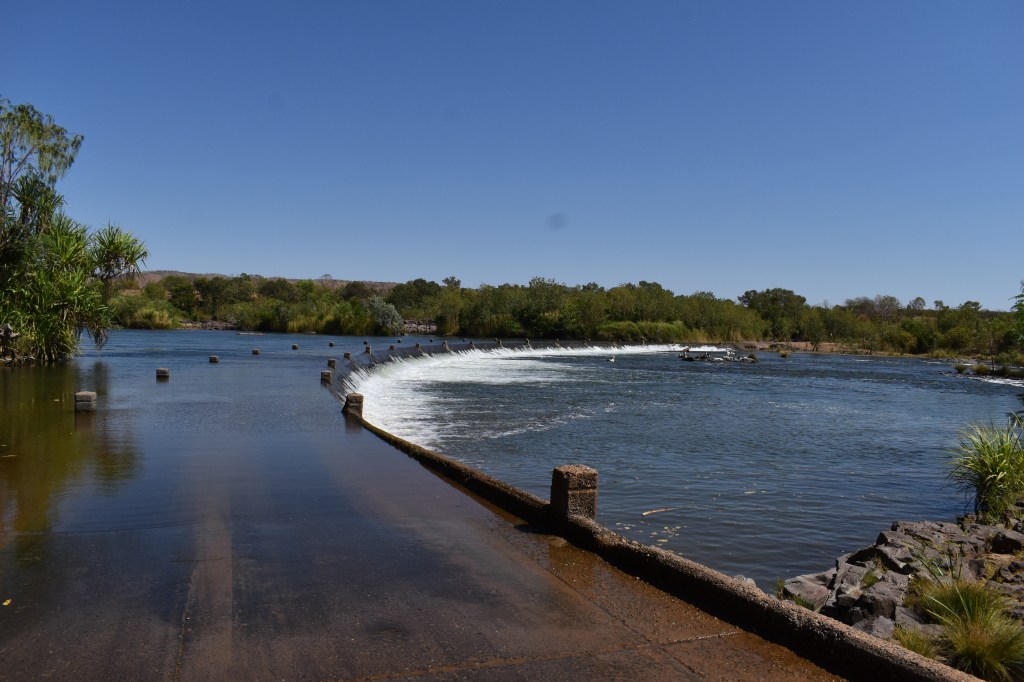
Ivanhoe Crossing.
4WD vehicles can cross here. This area is known for its salt water crocodiles. The aboriginal locals still fish from this crossing. Ladies often fish with hand lines from the banks, children and families play on the shore, men stand in the water on the crossing. And tourists stand well back watching for crocs!!
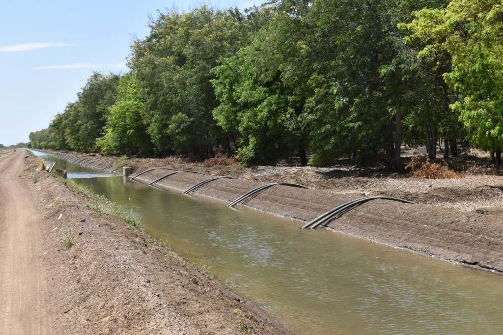
Sandalwood is a highly valuable timber used in the perfume industry, There are many plantations in the Kununurra area. The Sandalwood tree is actually a parasite which attaches itself to the root systems of host trees planted nearby. A mature sandalwood will have used and killed off four varieties of plant in its lifetime.
Sandalwood, interplanted with ‘host’ trees. Suckering onto other species root systems, by this age it is onto it’s third or fourth host plant.
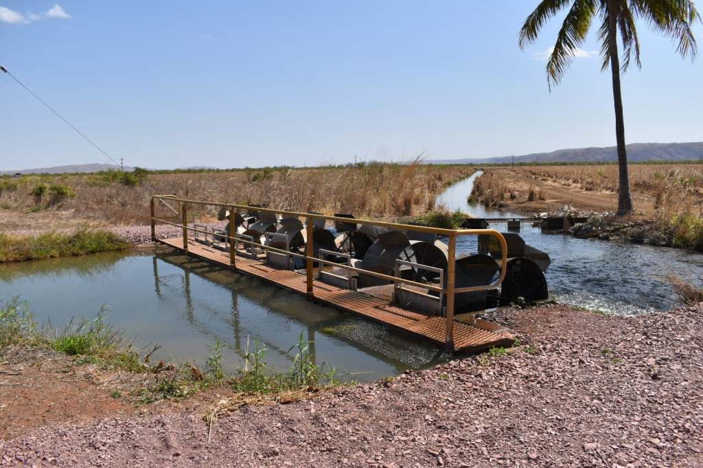
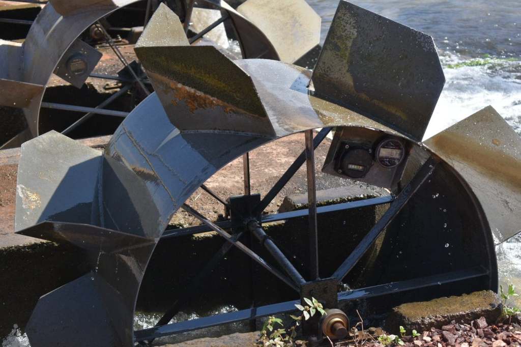
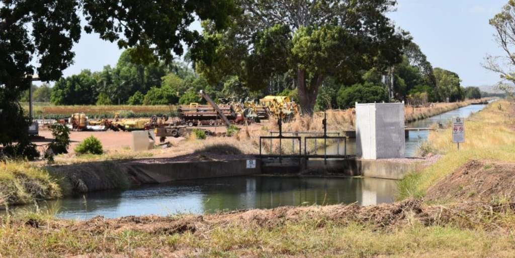
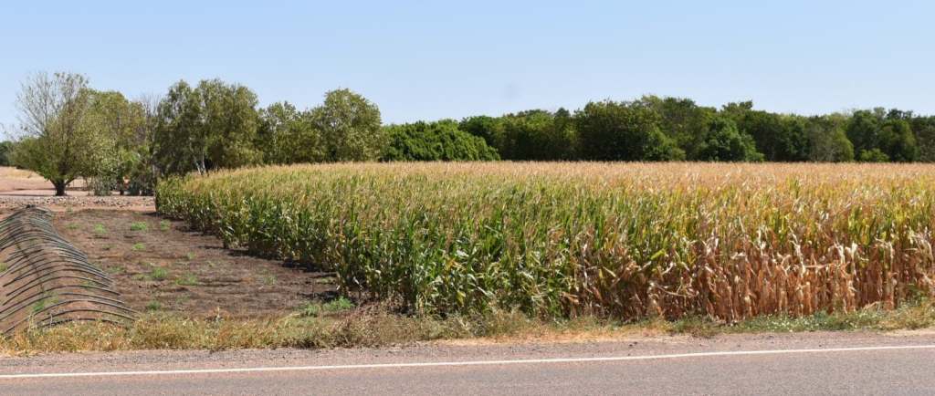
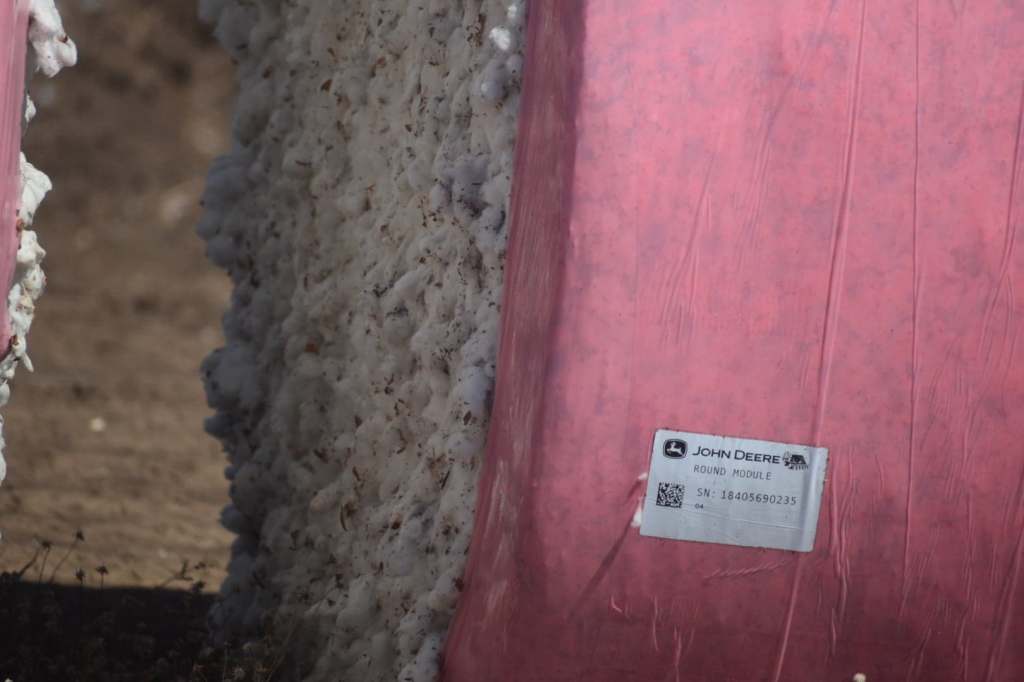
There are many crops grown in the Kununurra area. They are irrigated from the Ord River irrigation scheme, with water being channeled via irrigation ditches. A farmer is able to order water, which is then diverted to his crops via the channels and ditches throughout the area. Water wheels measure the volume of water being delivered. Lengths of hose siphon the water from the ditch to the crops, often using flood irrigation.
When water is ordered it is diverted to the appropriate irrigation channel by water wheels which measure the amount being delivered.Each wheel has a meter, which reads the volume delivered. When the set amount is reached the wheel stops turning and no more water is delivered.
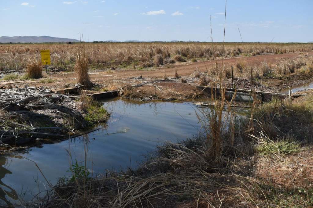
A series of gates directs water to the appropriate ditch.Moving the hoses back and forth on the land side of the ditch starts the water flowing. It then flows into the trenches between the rows of crops, in this case the sandalwood.
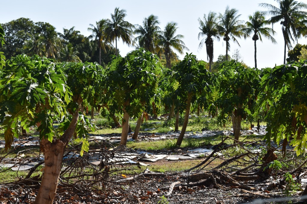
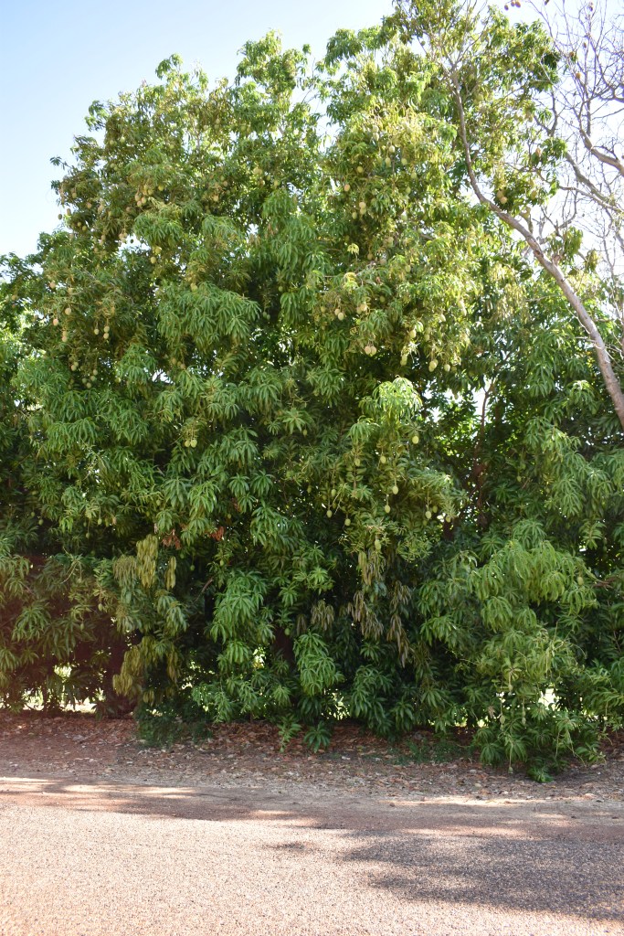
More local crops. Unfortunately, the mangoes were not yet ripe.
Most people who write a travel blog do so regularly, keeping an accurate record of their travels. Which is what I intendedto do. but it didn’t happen that way, so now I’m playing catch-up.
Maybe this section should be called “Hurried Catch-up Number One’
Here’s a lightning fast photo record of some of my travels.
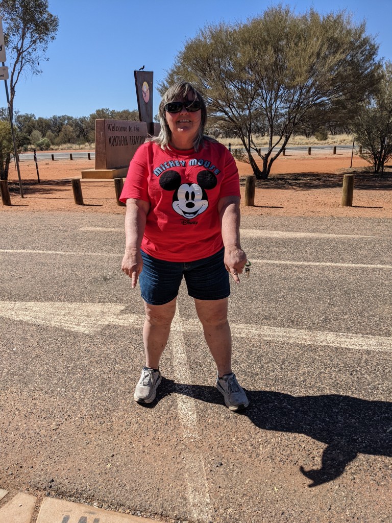
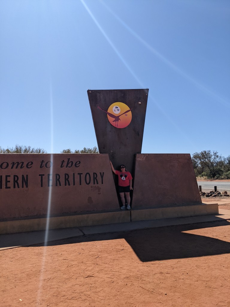
At the Northern Territory border. I’ve travelled off and on with Bev (left) and Leone, Rollers from the ACT.
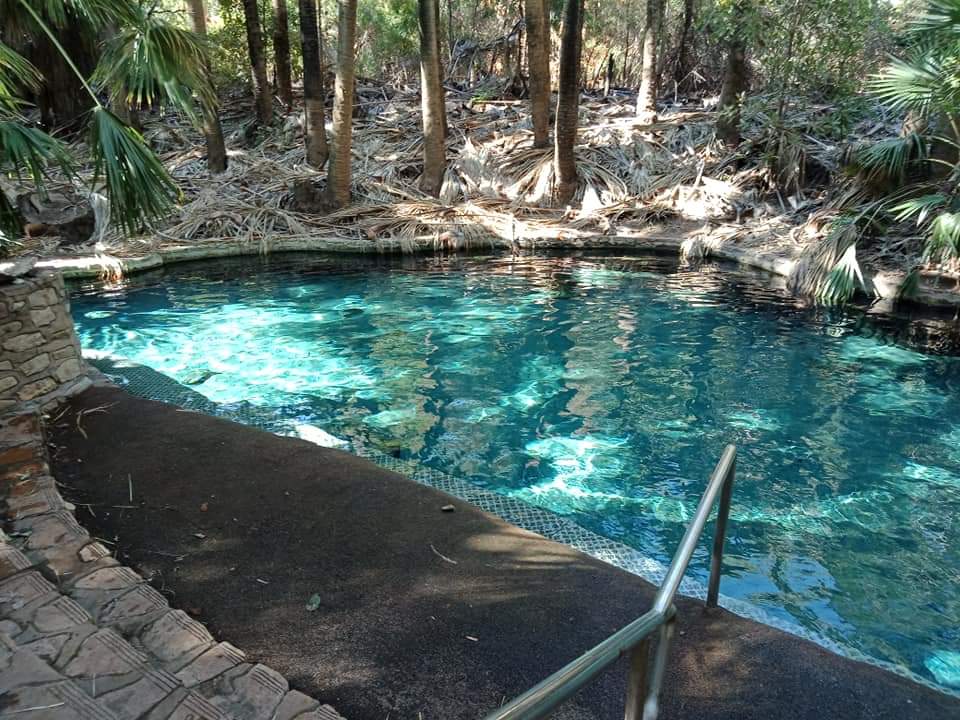
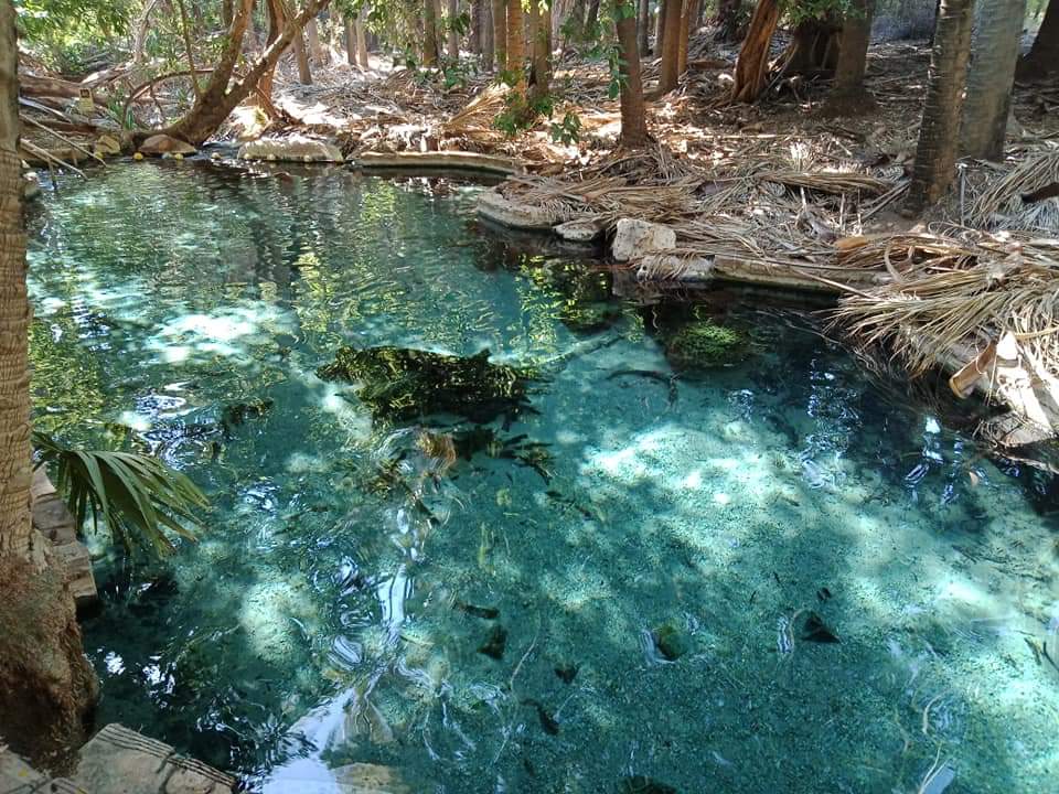
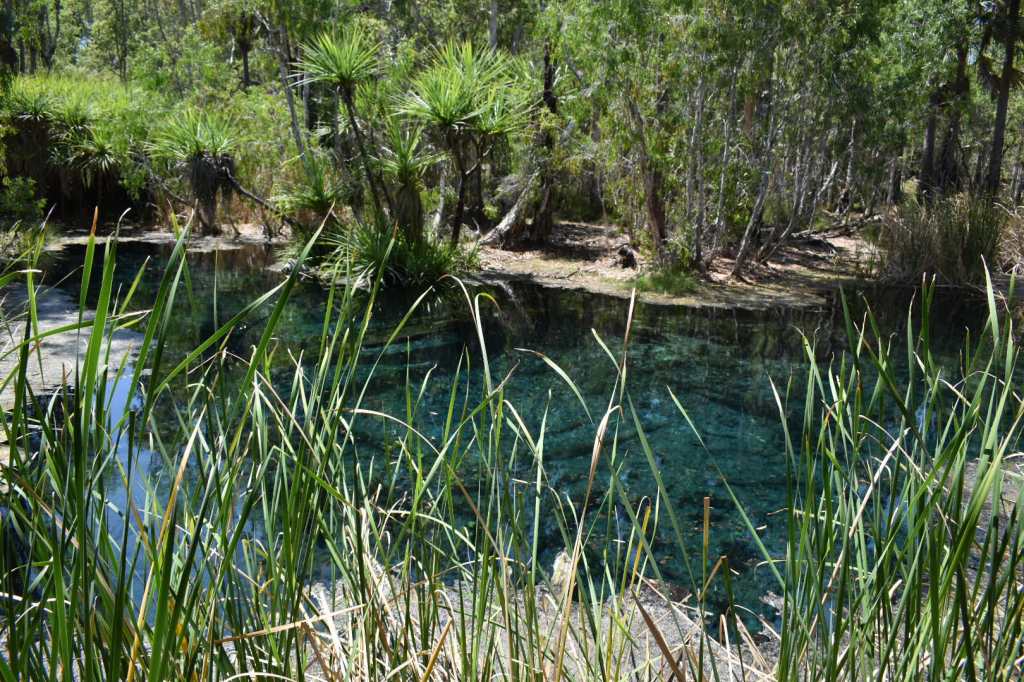
Mataranka
Mataranka is an oasis in the middle of nowhere. These thermal springs are crystal clear and offer a welcome break after long hours on the road. I stayed here for several days with Bev and Leone, who are also travelling from Canberra, and Sue, a Roller from Melbourne who I’d previously met at a Kangaroo Valley get together. (We picked Sue up at a toilet block along the way – we’re beginning to meet Rollers at all sorts of places. All heading to the camp at Exmouth by different routes and travelling at different paces. I’ve jumped in and out of Leone and Bev’s tag-a-long several times now.)
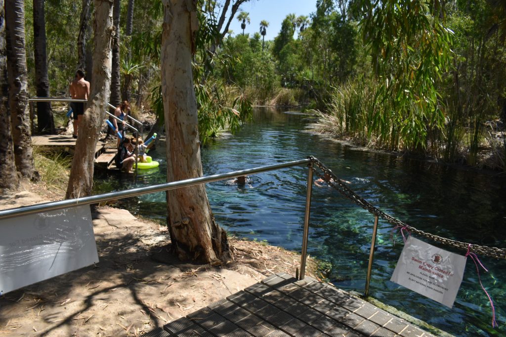
Thermal pool at Mataranka
Mataranka’s Rainbow Spring feeds the thermal pool. 30.5 million litres of water per day flows through the pool and into the Roper River. The water comes from huge natural reservoirs 30 to 100 metres under the ground. The deeper the water, the warmer it gets. Water at Mataranka is approximately 34 degrees celsius.
Five minutes away are Bitter Springs, another thermal pool.
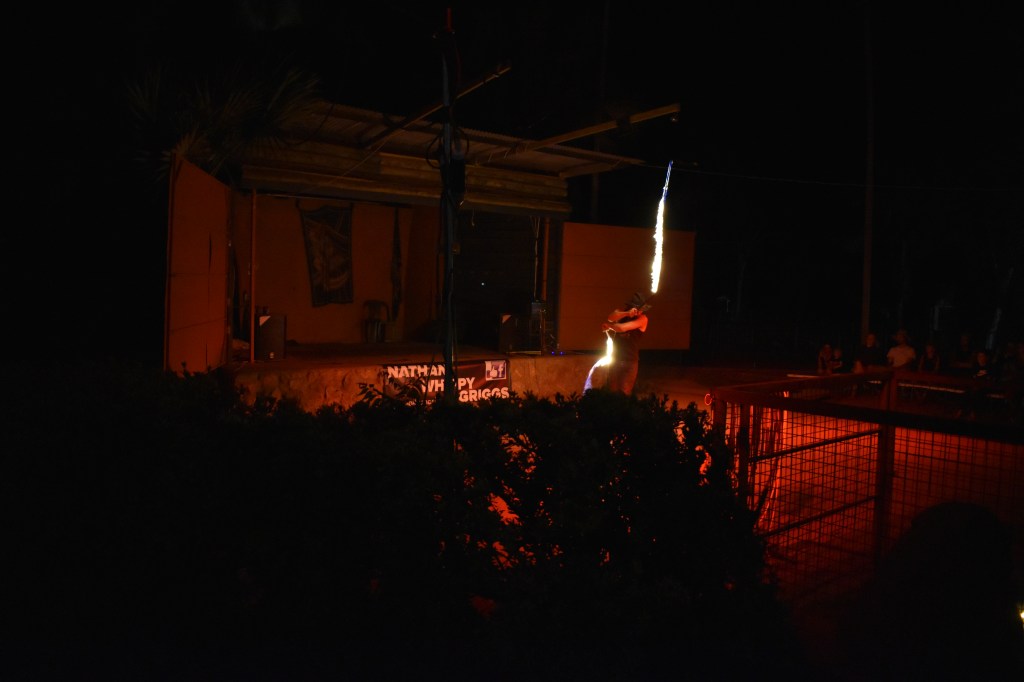
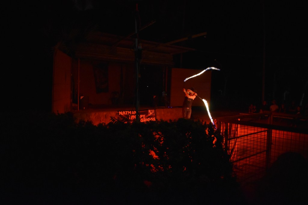
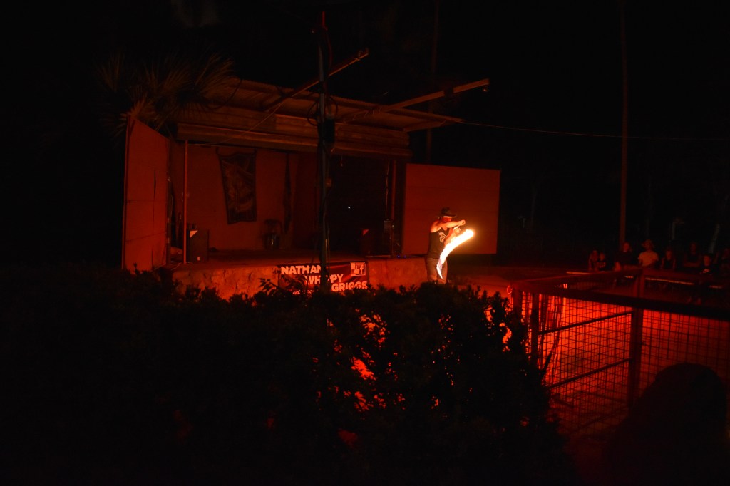
Mataranka Homestead Caravan Park has a bar and entertainment area. On show was young Nathan “Whippy” Griggs and his mastery of the whip. He currently holds the world record for the number of cracks in one minute – 614 cracks! Among other records he also holds the Guinness World record for the longest whip made and cracked. This whip is just over 100 metres long.
As I lost my phone soon after this show, I’m going to share some footage from the internet so you have an idea of what we saw.
These photos are from the show I saw at Mataranka.
Katherine and beyond…
At Katherine I again went off on my own. I stayed out of town at Katherine Gorge. There are several gorges which you can cruise, kayak or walk.
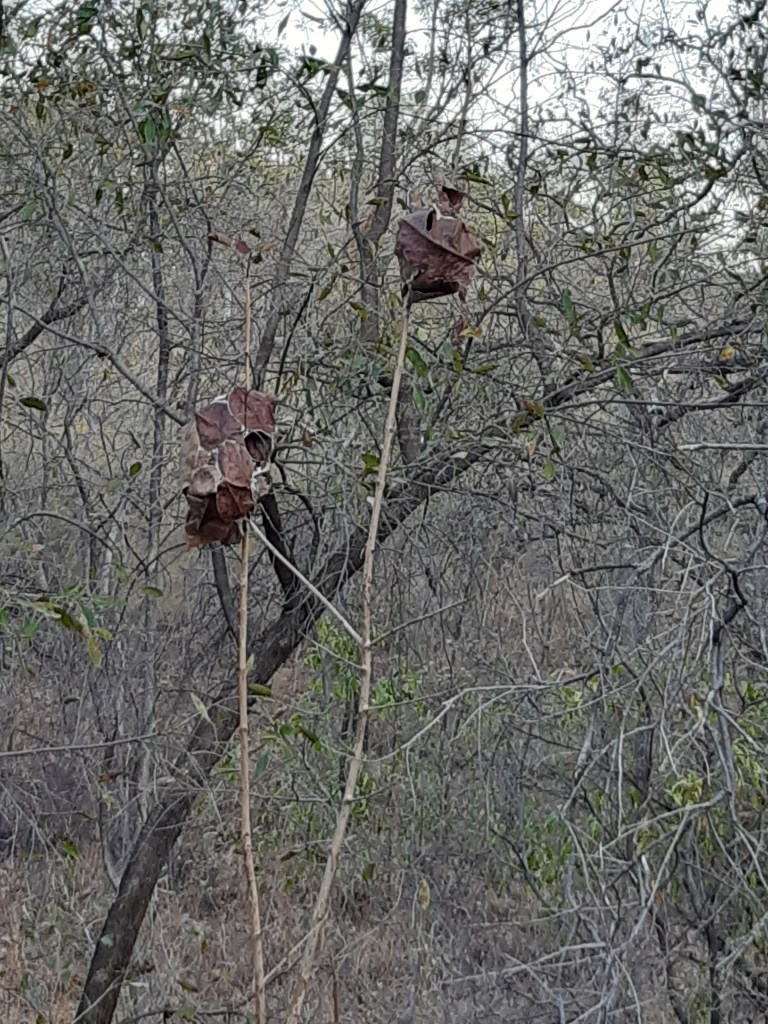
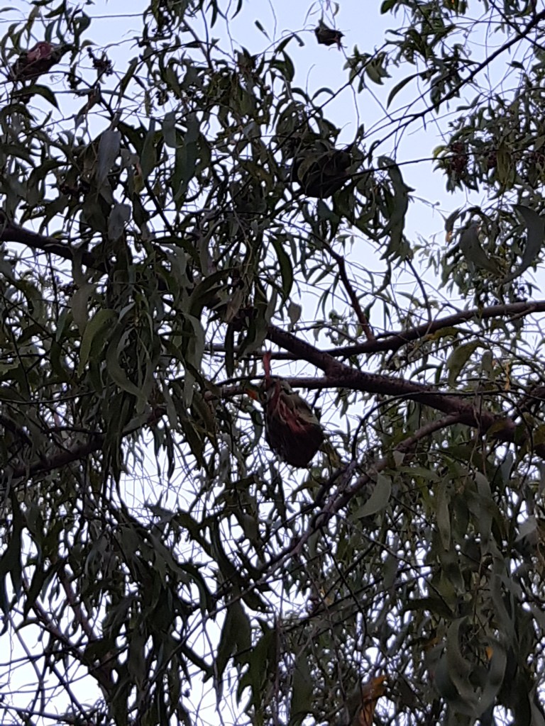
Green ant nests in trees. Made from leaves and web, I found these particular nests on one of the gorge walks..
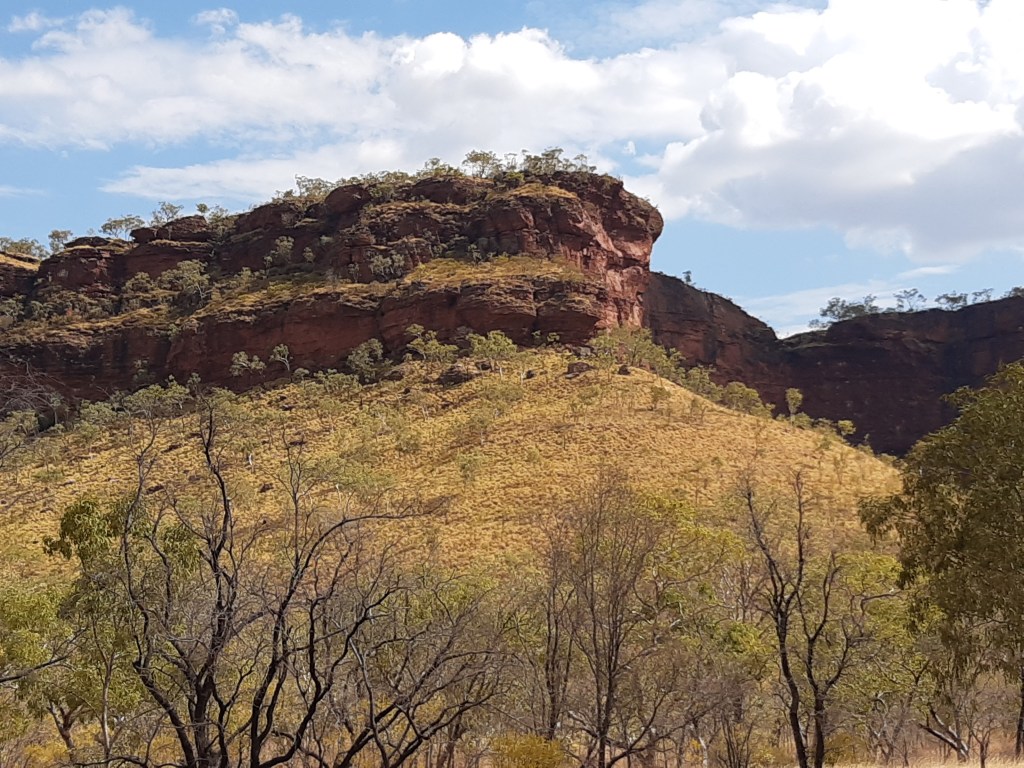
I love travelling through outback areas. The landscape is ever-changing.
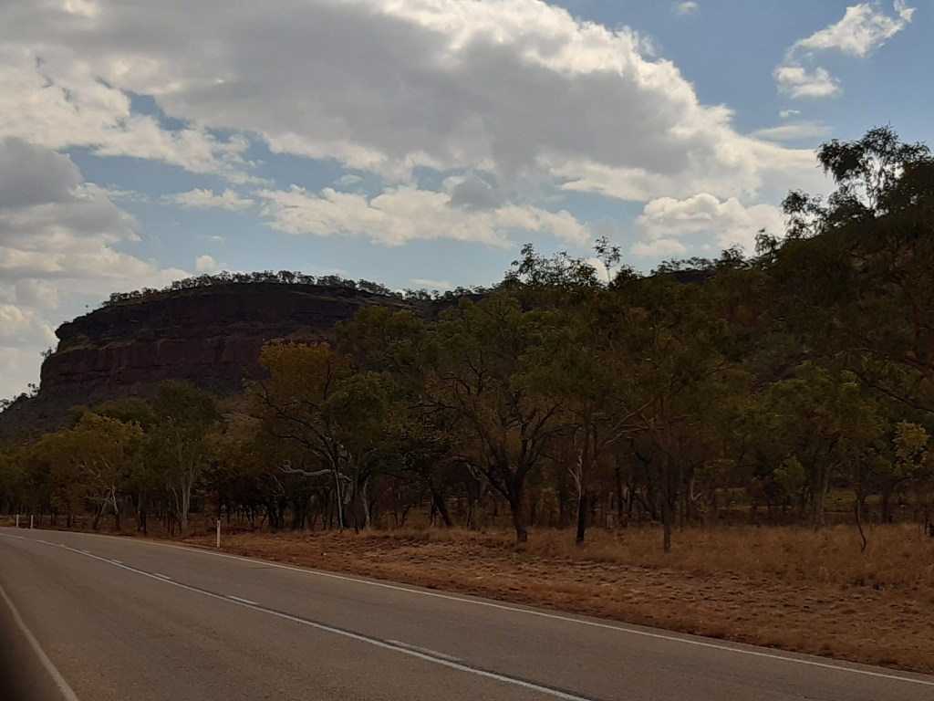
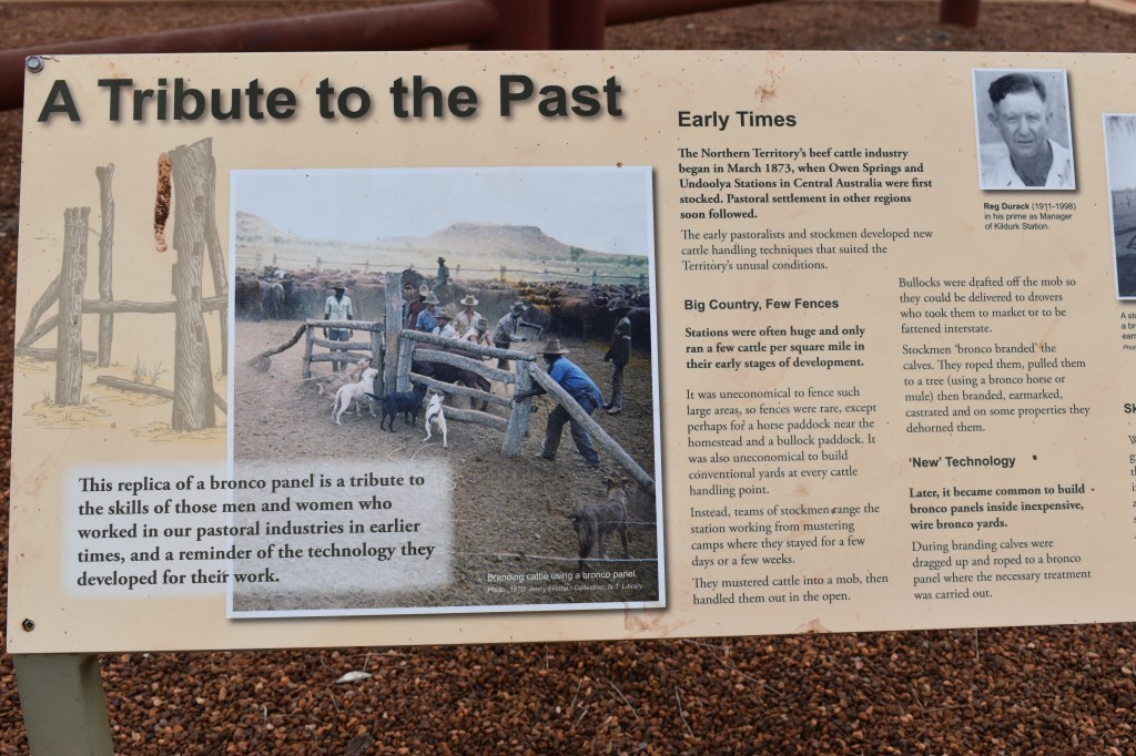
Timber Creek
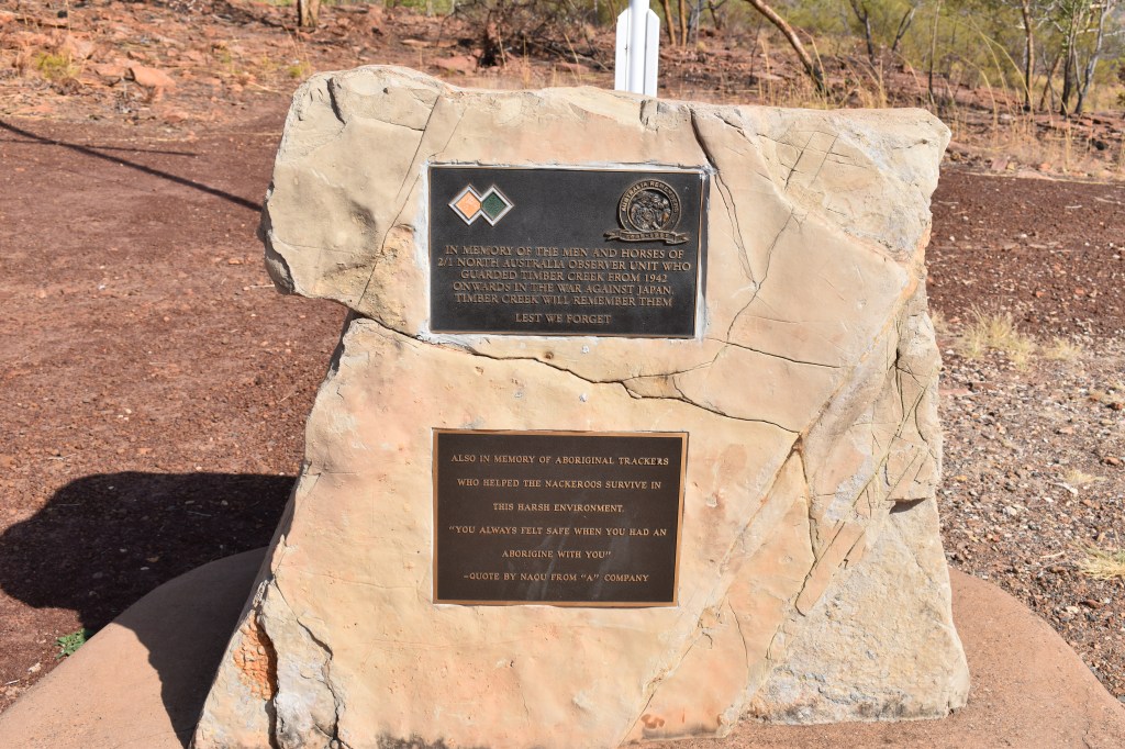
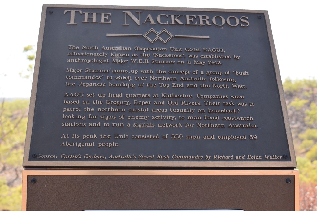
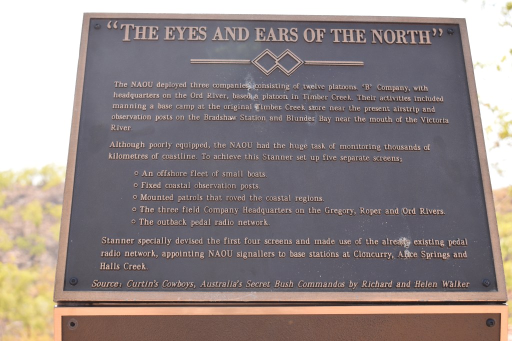
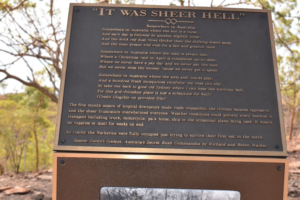
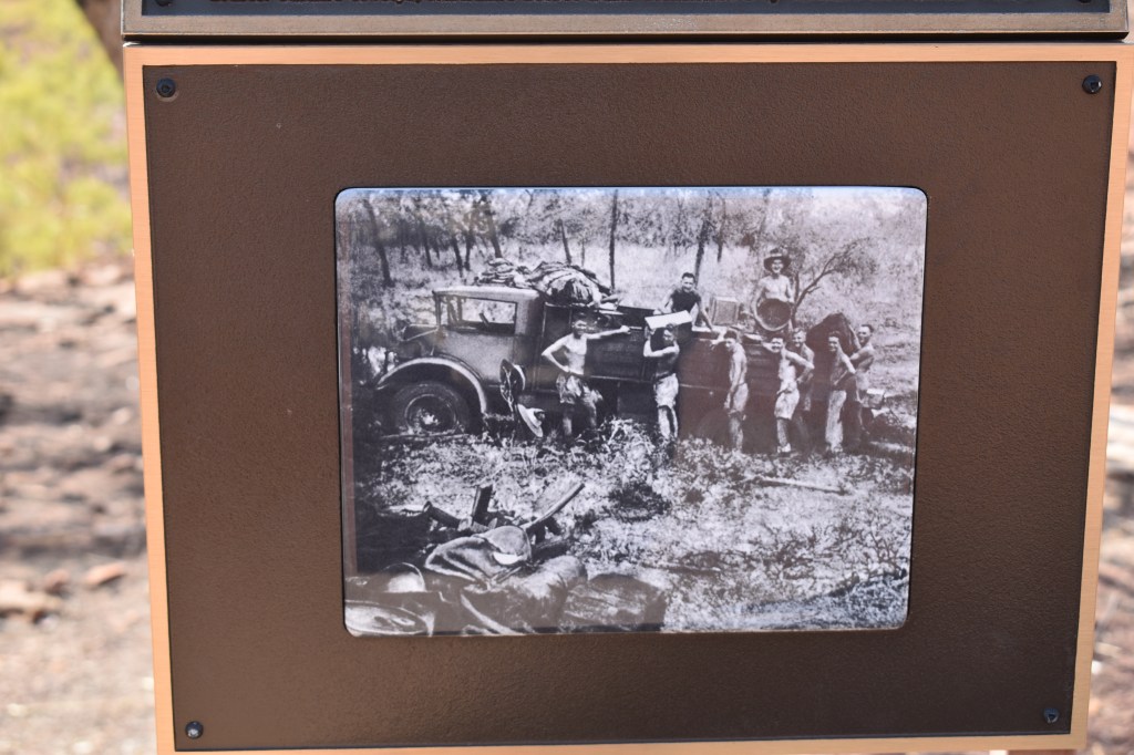
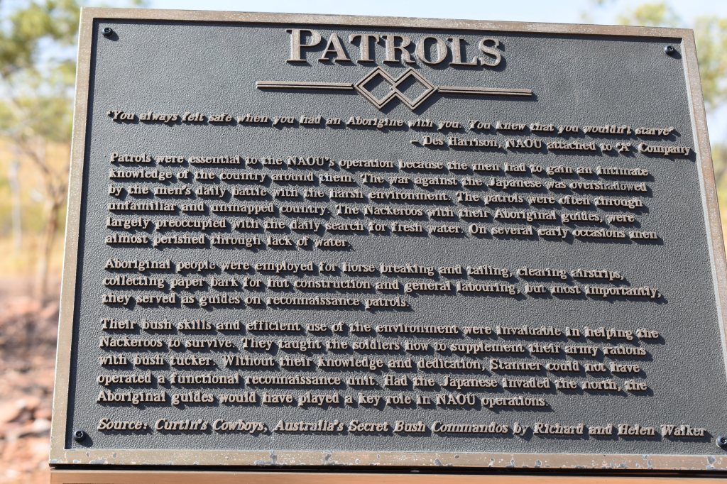
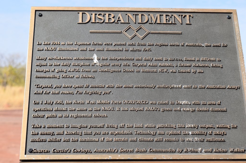
The more I travel Australia, the more I realise how little I know about my own country. After staying at the caravan park at Timber Creek (it had a special deal – stay up to 3 nights free. Here I saw my first (fresh water) crocodile in the creek behind the park, and also met up with about twenty other Rollers) I headed off again. I ventured up a track to find a lookout and stumbled on another story of the second world war I knew nothing about, that is the story of the Nackeroos.
After the attacks on Darwin, the Nackeroos were a force of bush commandos tasked with keeping watch over Australia’s north for signs of invading forces.
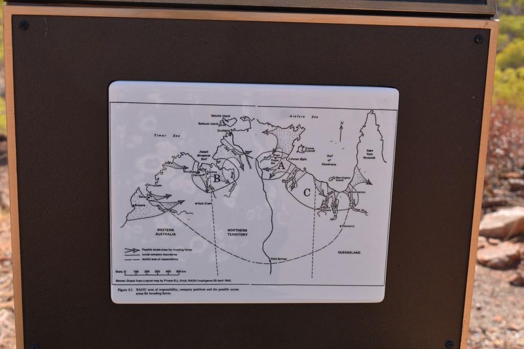
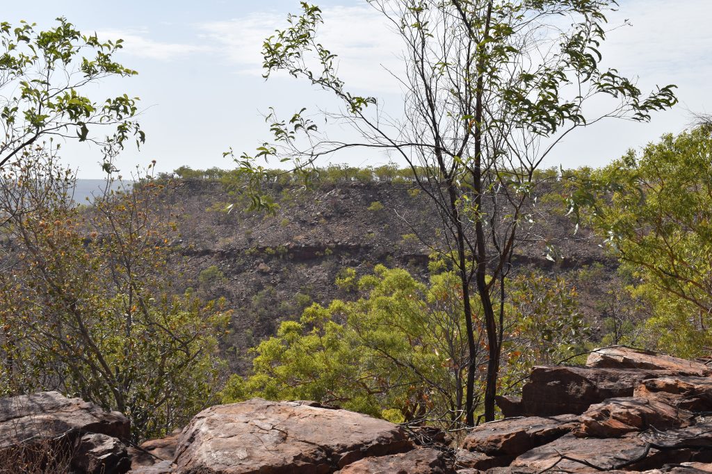
Possible access areas for forces invading AustraliaThe wet season was inhospitable
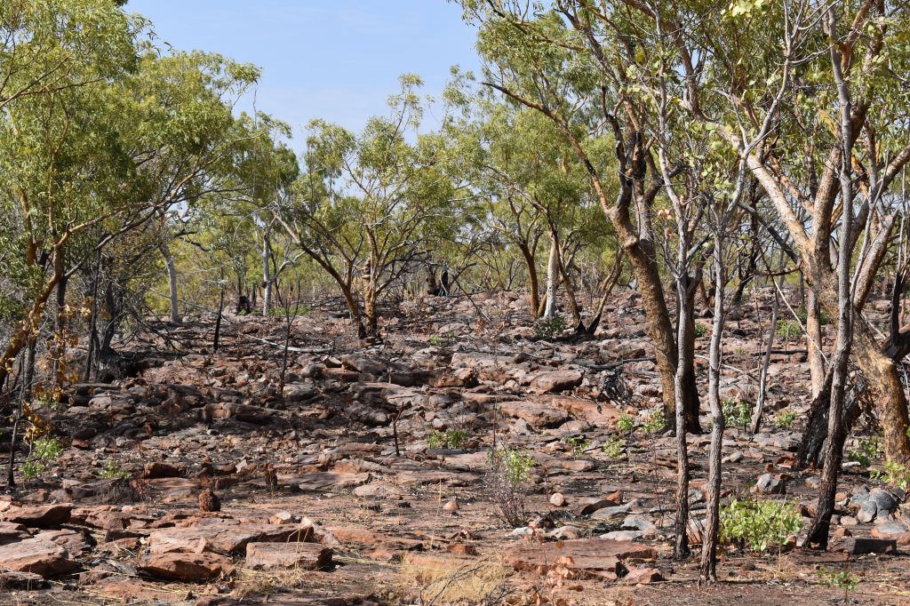
The country in this area is very tough, and full credit has been given to the aboriginal people who were employed to support the troops with reconnaissance and with bush survival skills, including finding bush tucker.
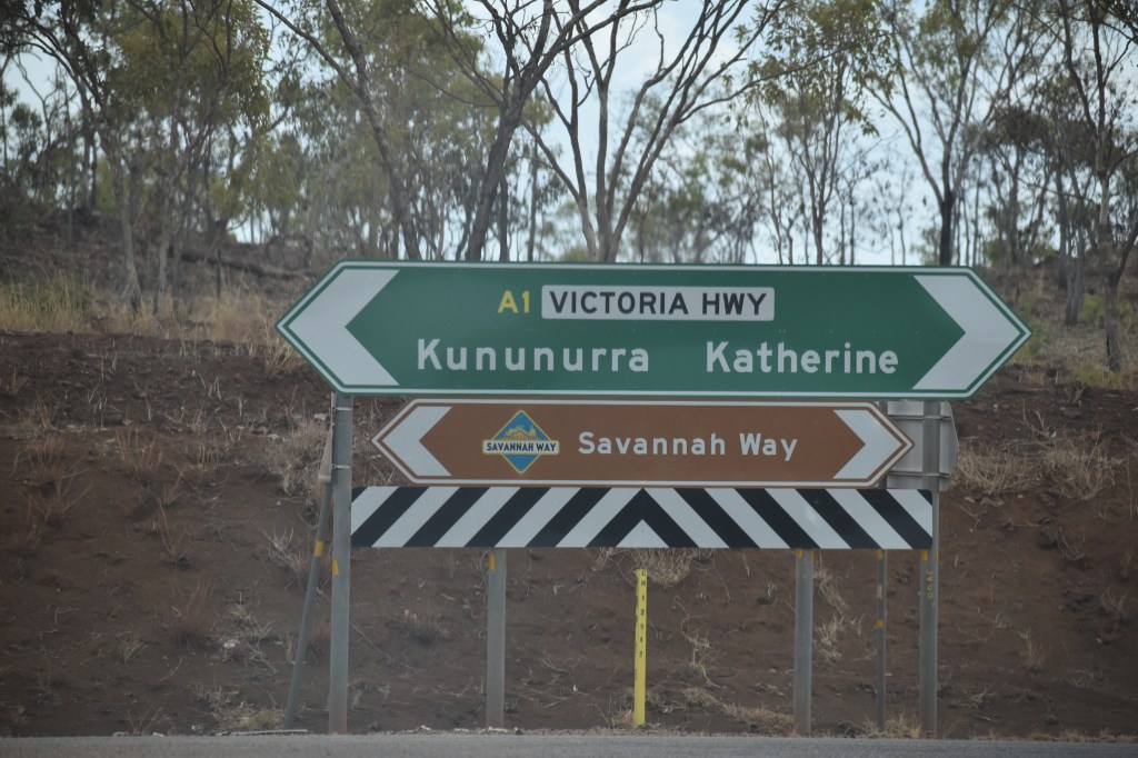
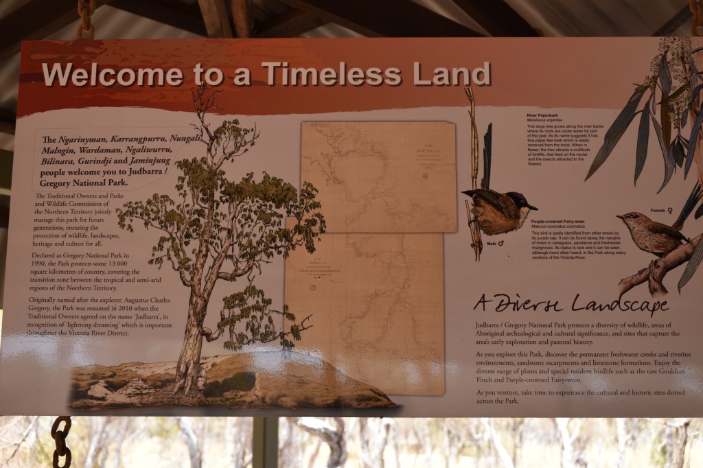
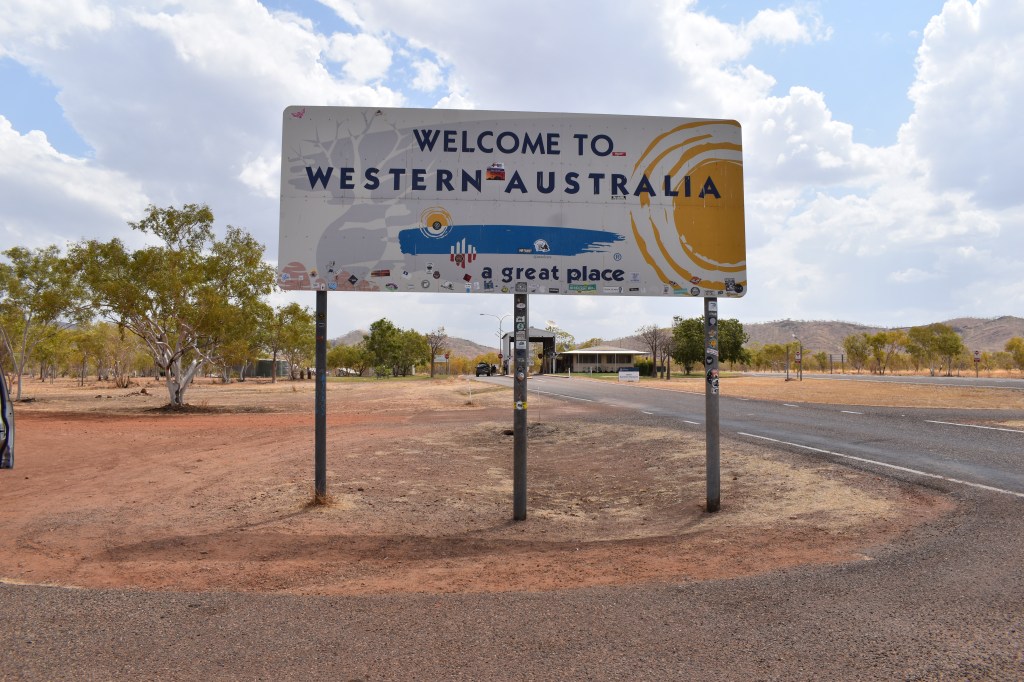
The country is rocky and roughGregory National Park. So much to see, so little time…Western Australia. Eat or cook all of your fruit and vegies before you get here – that’s the quarantine inspection station ahead. And don’t forget to turn your clocks back two hours. Plus another hour in a few weeks time for daylight savings…